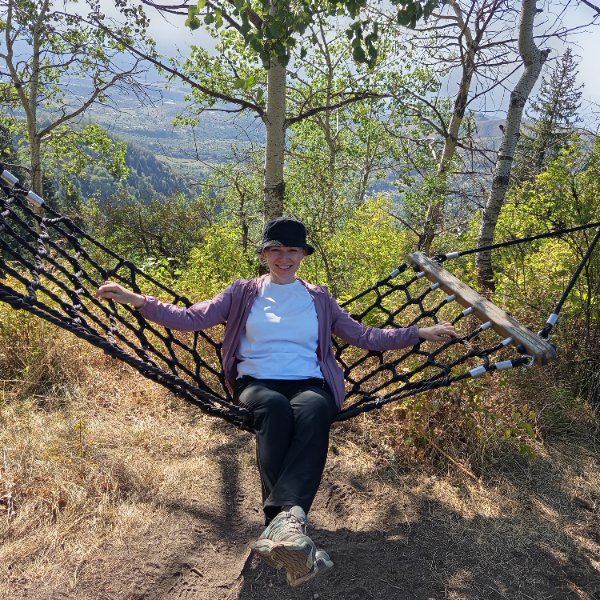
Day Hiking Tour to Butakovka Waterfalls from Almaty
From $72 per person
Overview
Is this hike right for you?
Perfect if you…
No experience needed
Description
A guided Butakovka waterfall hike from Almaty through one of the closest mountain gorges to the city — reaching a 30-metre cascade hidden between granite cliffs, with an optional extension to a quieter Upper Waterfall at nearly 2,500 m.
What to expect on the Butakovka waterfall hike
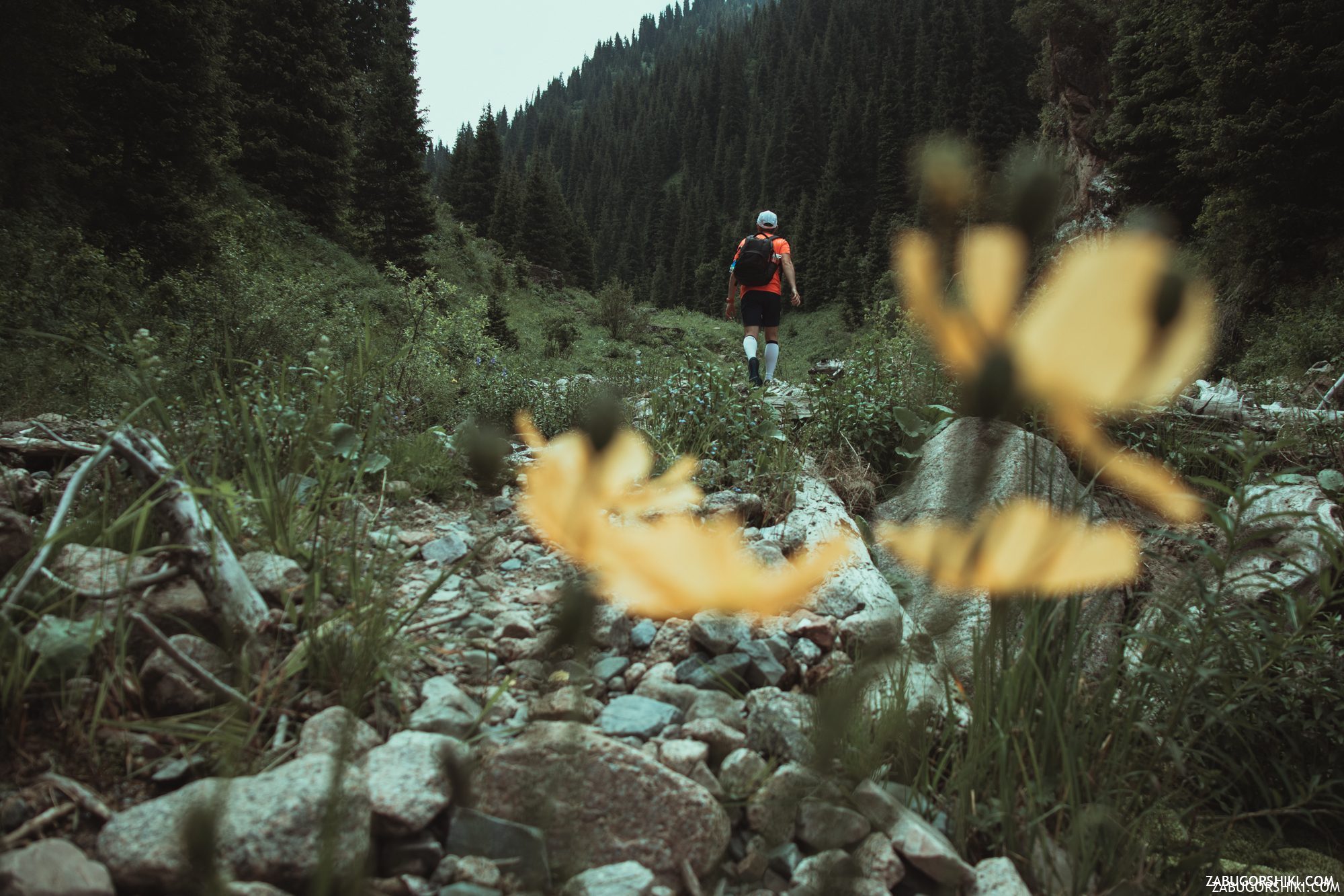
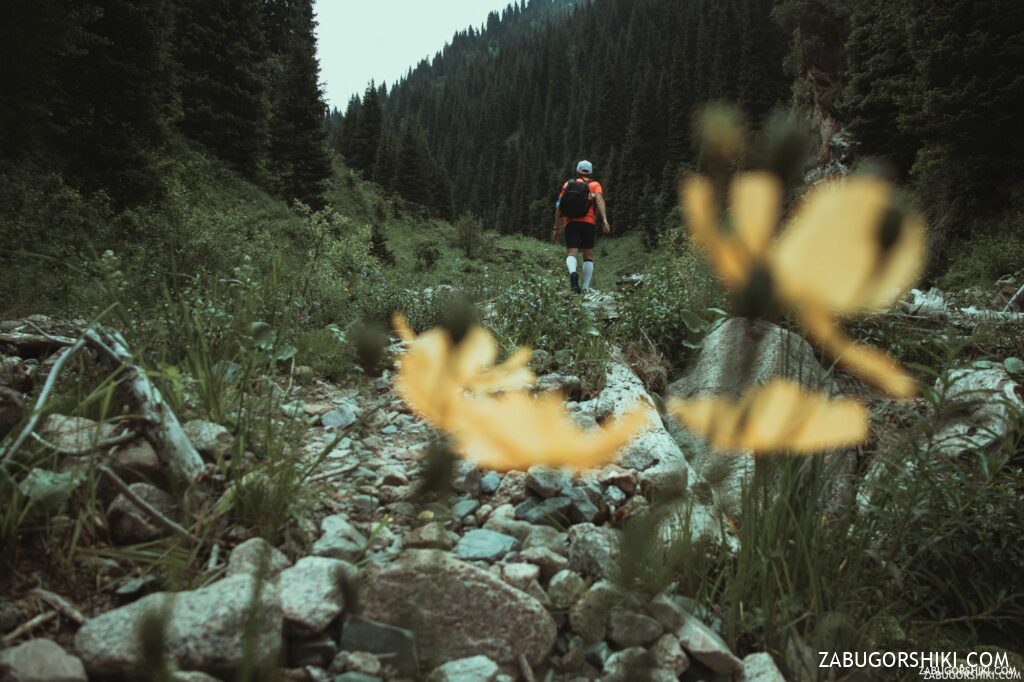
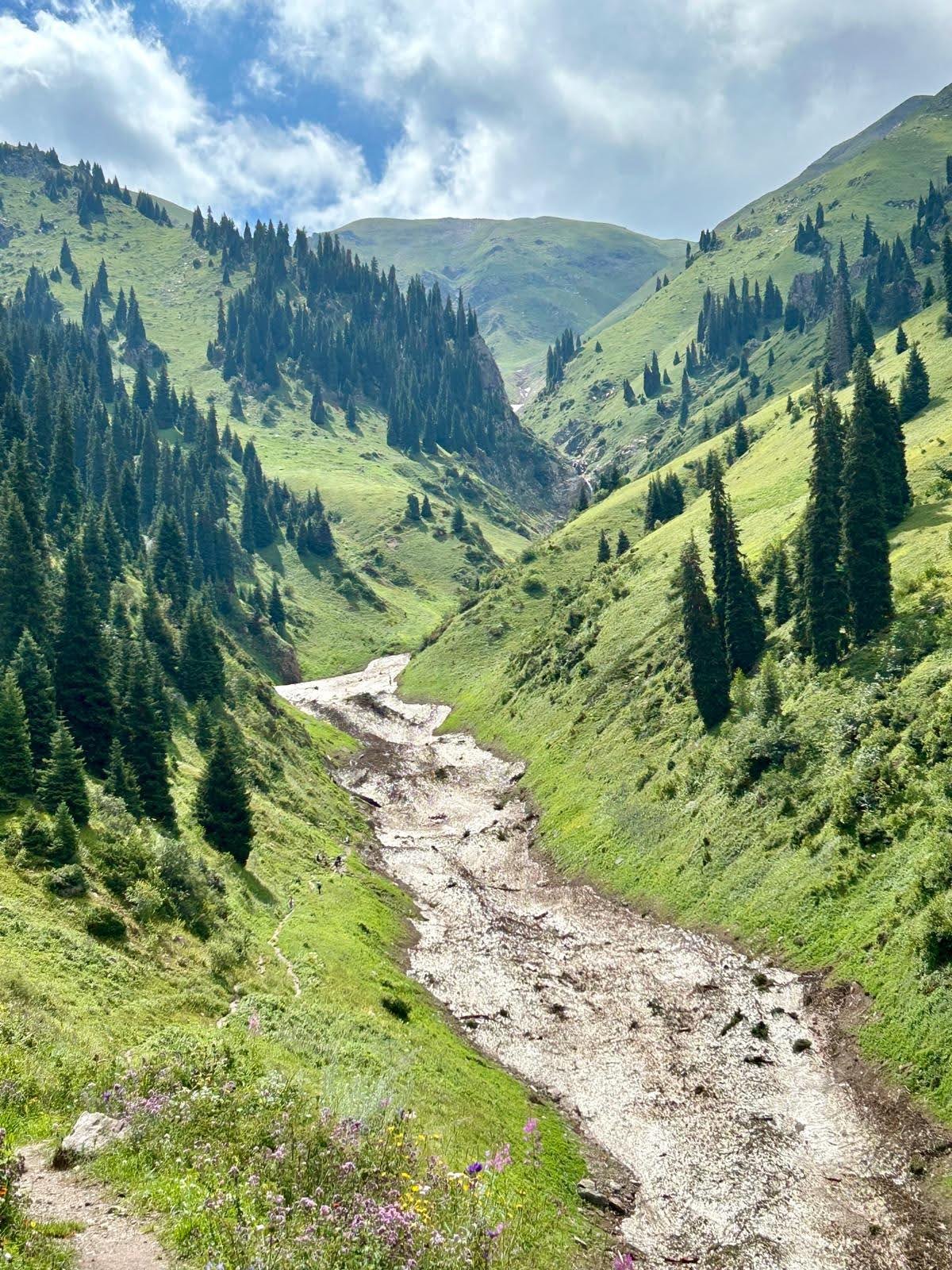
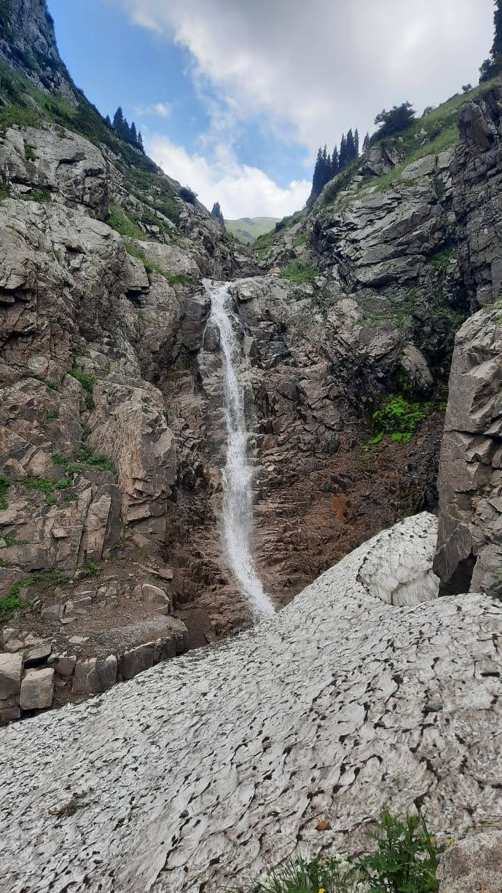
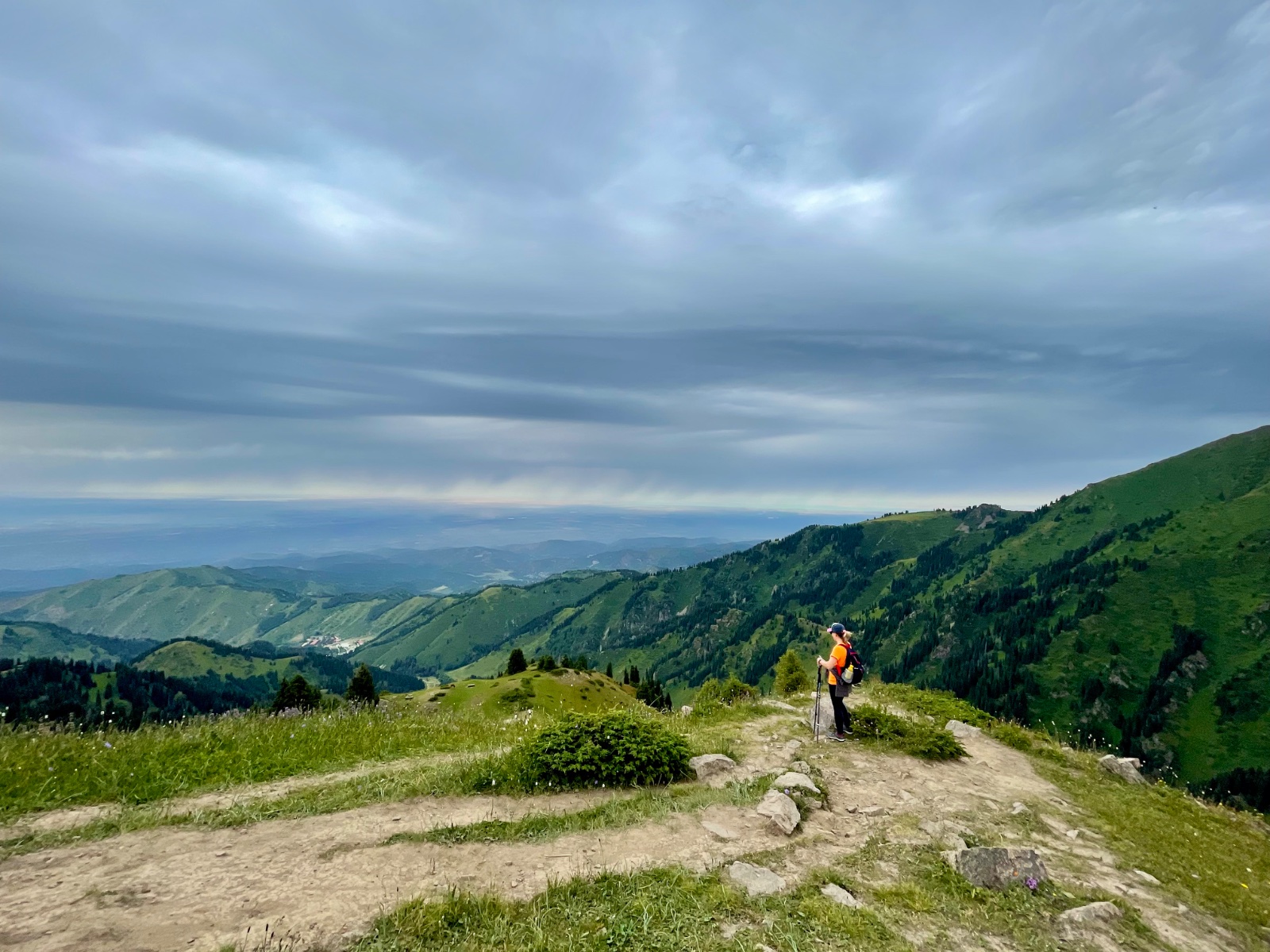
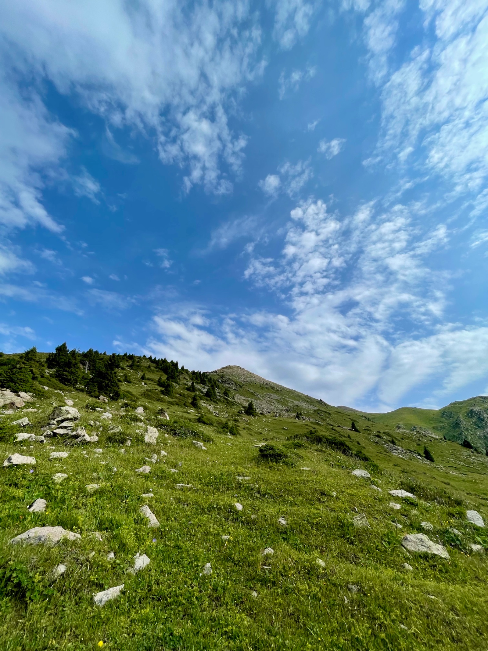
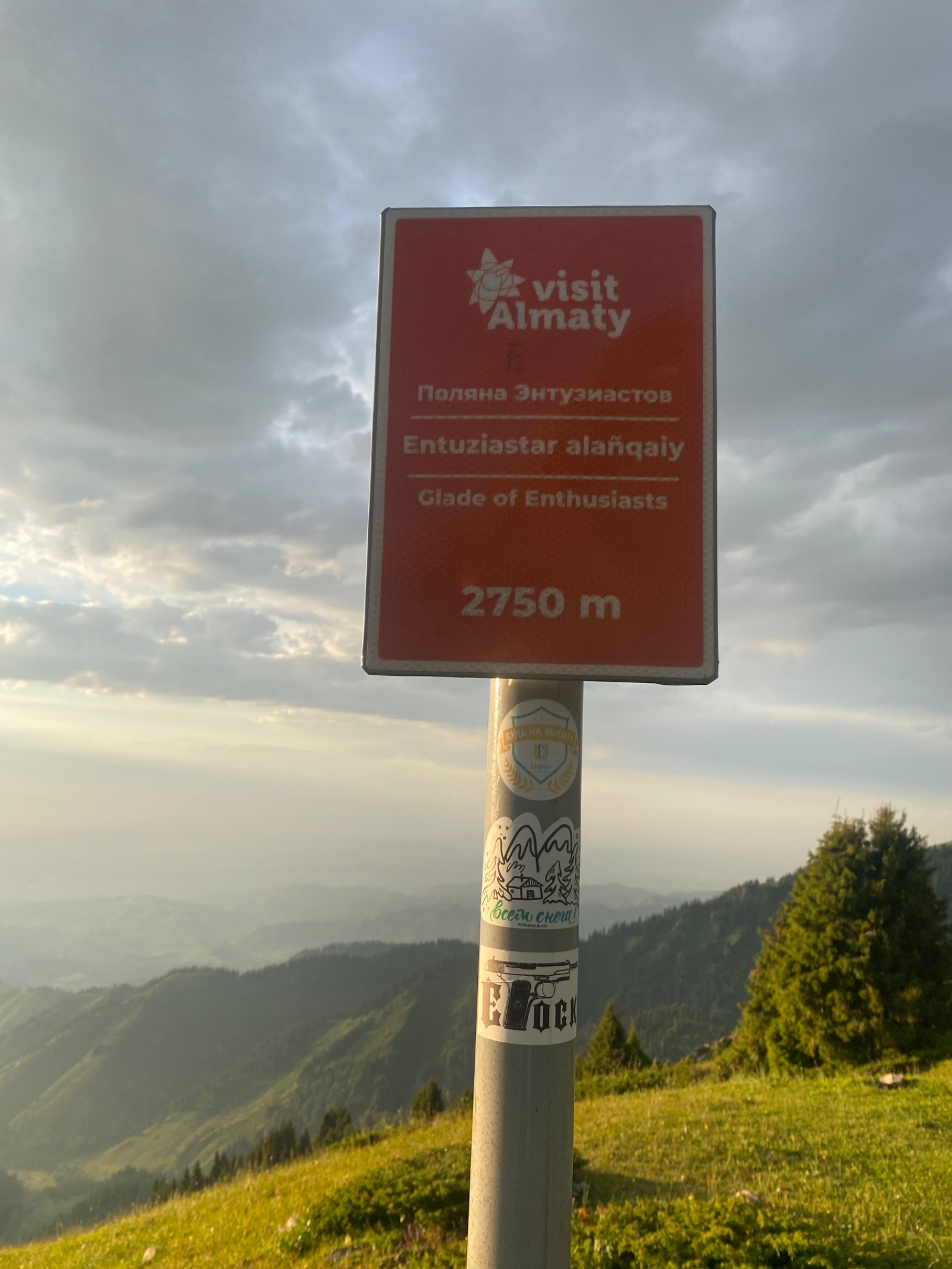
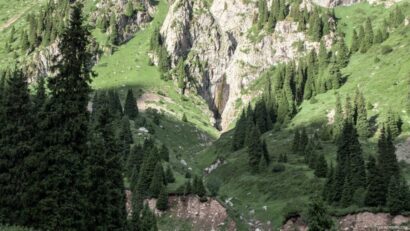
The Butakovka waterfall hike from Almaty takes you into a gorge that technically sits within the city limits — one of very few places on Earth where a 30-metre waterfall is a short bus ride from a million-person metropolis. The gorge stretches 14 km into the Zailiysky Alatau mountains, climbing from 1,700 m at the entrance to nearly 2,900 m at its headwaters, and contains two distinct waterfalls: the Lower Butakovka Waterfall (~30 m, the main destination for most hikers) and the quieter Upper Butakovka Waterfall (~20 m, set higher in the gorge where snow lingers well into summer).
The trail follows the Butakovka River — a right tributary of the Malaya Almatinka — upstream through Tien Shan spruce forest, past wild apple trees, mountain ash, and barberry. The gorge has a long human history: before Russian colonization, it was known as Bokenbay, named after a relative of Medeu, the Kazakh nomad whose name survives in the famous skating rink just over the ridge. In the 1860s, a Cossack forest guard named Butakov was posted here to protect the timber from logging — the gorge kept his name. In Soviet times, Butakovka housed the pioneer camp of Kazakhfilm studio and a writers’ retreat. Since 1996, it has been part of the Ile-Alatau National Park.
What makes this hike rewarding is contrast: you start in what feels like a city park and within an hour you’re standing behind a curtain of falling water, looking out through the spray at a panorama of Almaty’s skyline far below. The Lower Waterfall is famous for its “walk-behind” ledge — a rocky shelf behind the cascade where you can stand inside the waterfall and see the gorge through a veil of water.
Detailed itinerary
Pickup and drive to trailhead
Your guide collects you from your Almaty hotel in the morning and drives south along Dostyk Avenue toward the mountains. The drive to the Butakovka eco-post takes roughly 20–25 minutes from central Almaty — this gorge is genuinely close.
At the eco-post, we enter the Ile-Alatau National Park. There are two ways to reach the waterfalls, and your guide will choose based on group fitness and conditions:
Option A — Direct route via Butakovka Gorge (shorter, steeper): From the eco-post parking, cross the bridge over the Butakovka River and hike directly up the gorge along a dirt road following the river upstream. This is the most direct path to the Lower Waterfall.
Option B — Scenic loop via Medeo and Kim Asar Pass (longer, more varied): Start from Medeo skating rink, walk east along the asphalt road for ~20 minutes, then take the trail up to Komissarovsky (Kim Asar) Pass. The pass is low and the trail is comfortable — not steep. From the pass, descend into Butakovka Gorge. This option gives you views of the Medeo dam and Almaty skyline during the approach, and you can return via the direct gorge route to make a loop.
Through the gorge to the Lower Waterfall
Whichever route you take, you’ll converge at a fork where a tributary stream meets the main Butakovka River. The Lower Waterfall is up this tributary — cross the bridge and follow the side stream uphill.
The trail narrows here. You’ll walk alongside the stream, crossing it on stepping stones or simple log bridges in a couple of places. The forest thickens — Tien Shan spruce (Picea schrenkiana) towers overhead, with barberry and wild rosehip bushes lining the path. Looking back occasionally, the Almaty skyline appears framed between the gorge walls — a surreal sight from inside a mountain canyon.
After 15–20 minutes of climbing from the fork, the gorge closes in between two massive granite walls, and the Lower Butakovka Waterfall appears. The cascade drops roughly 30 metres over a rock face into a shaded pool. On summer weekdays you might have the place entirely to yourself. On weekends, expect company — this is one of Almaty’s most popular short hikes.
The waterfall’s signature feature is the rocky ledge behind the water curtain. Your guide can show you the safe approach — you can stand behind the falling water and look out through the spray. It’s cold, loud, and worth getting slightly wet for.
For rock climbers: the granite walls flanking the waterfall have established climbing routes (19 routes, grades 5c–8a), making Butakovka a well-known outdoor climbing spot near Almaty. Routes on the left wall reach up to 40 m in length. Even if you’re not climbing, you may see climbers on the rock face — it adds to the scene.
Lunch and the Upper Waterfall (optional extension)
After exploring the Lower Waterfall, we descend back to the main river fork for a picnic lunch on the grassy riverbank.
For groups with energy and time, the Upper Butakovka Waterfall is an additional ~1.5 hours further up the main Butakovka Gorge. The trail is less travelled but well-defined. The gorge narrows and darkens — thick forest blocks much of the sunlight, and you may encounter snow patches even in June. The Upper Waterfall (~20 m) sits at nearly 2,500 m elevation, closer to the alpine zone. It’s a quieter, more secluded destination — a different mood from the popular Lower Waterfall.
Return to Almaty
We descend the gorge (or complete the Medeo loop if we took Option B on the way up) and drive back to Almaty. Door-to-door, expect to be back at your hotel by late afternoon.
Stats block:
| Stat | Lower Waterfall only | Both Waterfalls |
|---|---|---|
| Distance | 6–8 km (round trip) | 13 km |
| Elevation gain | ~450 m | ~800 m |
| Walking time | 3–4 hours | 6–7 hours |
| Difficulty | 2/5 (Easy–Moderate) | 3/5 (Moderate) |
| Max elevation | ~2,150 m | ~2,500 m |
Trailhead coordinates:
- Butakovka eco-post: approximately 43°13’N, 77°03’E
- Lower Waterfall GPS: 43°10’19″N, 77°06’50″E
- Upper Waterfall GPS: 43°09’21″N, 77°07’16″E
Price includes:
- Hotel pickup and drop-off in Almaty
- English-speaking mountain guide
- Ile-Alatau National Park eco-post fee
- Picnic lunch on the trail
- Waterproof rain poncho (in case of mountain weather)
Price does not include:
- Personal travel insurance
- Trekking poles (available for rent)
- Tips for guide (optional)
Why book this guided Butakovka waterfall hike?
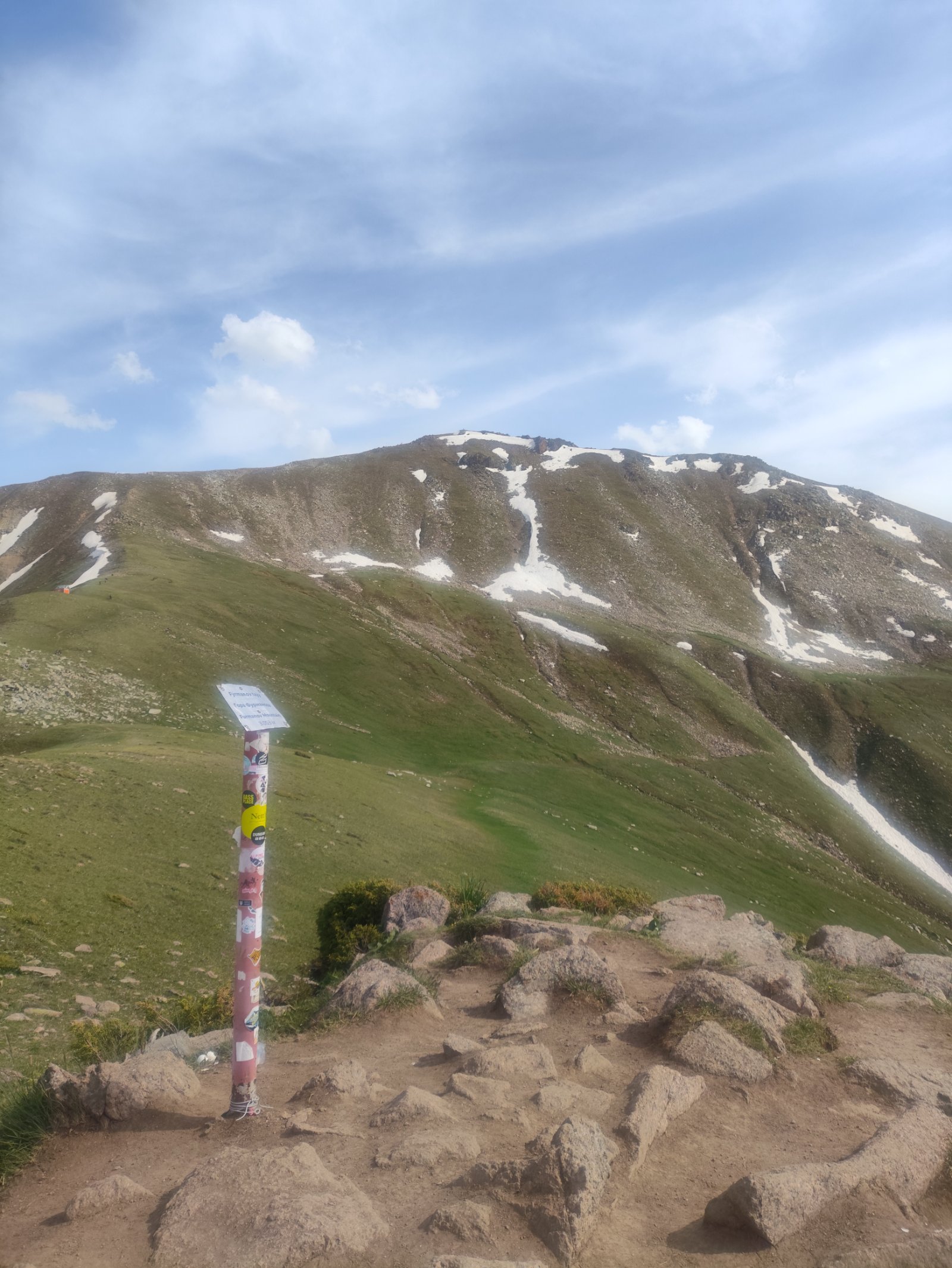
This is the easiest waterfall hike near Almaty, but the navigation can trip up first-time visitors. The gorge shares a trailhead network with paths to Furmanov Peak, Boukreev Peak, and Kim Asar — and the turnoff to the waterfall is easy to miss. (One travel blogger famously walked for three hours toward Furmanov Peak before realizing she’d missed the Butakovka turn entirely.) A guide eliminates that risk and adds context: the Cossack forest guard history, the Kazakhfilm pioneer camp, the Bokenbay naming story, and which rocky ledge is safe to stand on behind the waterfall.
The guided tour also covers logistics that are less obvious to visitors: which route option to take based on current trail conditions, the national park entry formalities, and whether river crossings near the waterfall are manageable on a given day (spring snowmelt makes them trickier in May and early June).
When to visit Butakovka Waterfalls
May–June: Peak water flow from snowmelt — the waterfall is at its most powerful and impressive. River crossings can be slippery. Snow patches may still cover the upper trail. Best time for waterfall photography.
July–August: Warm, comfortable hiking weather. Waterfall flow decreases but remains photogenic. Weekends are busy — weekday visits are strongly recommended. Wild rosehips ripen along the trail.
September–October: Autumn colours — the mountain ash and barberry turn the gorge red and gold. Fewer visitors. Cooler temperatures make the hike comfortable. Best time for landscape photography.
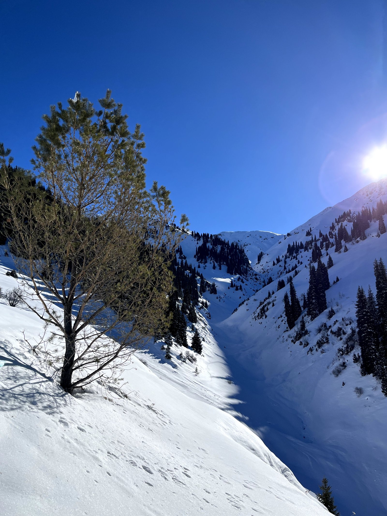
November–March: The waterfalls freeze into dramatic ice formations — towering columns of blue-white ice. Winter visits are possible but require appropriate footwear (crampons or microspikes). The frozen waterfall is a popular winter photography destination.
What to bring
- Sturdy hiking shoes with ankle support and good grip (trail gets rocky near the waterfall)
- Waterproof layer — mist from the waterfall and mountain rain are both likely
- 1–1.5 litres of water (stream water is drinkable along the route, but carry a bottle)
- Sunscreen and sunhat (the lower gorge is sunny in the morning)
- Camera — the walk-behind waterfall shot is worth the trip alone
- Light warm layer (the gorge is shaded and noticeably cooler than Almaty)
- Snacks if you plan the Upper Waterfall extension
How to get to Butakovka Gorge independently
By car: Drive south on Dostyk Avenue, continue onto Kerei and Zhanibek Khans Street, turn onto Beiseuova Street and follow it uphill to the eco-post parking. ~20 minutes from central Almaty.
By bus: City bus №29P runs to the Butakovka eco-post. Alternatively, bus №12 goes to Medeo, from where you can walk east over Komissarovsky Pass into Butakovka Gorge (~1.5 hours from Medeo to the waterfall via this route).
Important: This gorge is within the Ile-Alatau National Park. An eco-post fee applies at the gorge entrance. Your passport may be checked — carry it with you.
Frequently asked questions
How hard is the Butakovka waterfall hike? The hike to the Lower Waterfall alone is rated 2/5 — suitable for reasonably fit adults and older children. The trail is mostly a wide dirt path with a steeper, rockier section near the waterfall itself. The main challenge is a few stream crossings on stepping stones. Adding the Upper Waterfall increases difficulty to 3/5 due to the longer distance and higher elevation.
How long does the hike take? To the Lower Waterfall and back: 3–4 hours. Adding the Upper Waterfall: 6–7 hours total. Via the Medeo loop route: add ~1 hour to either option.
Can I walk behind the Lower Waterfall? Yes — this is one of the highlights. A natural rocky ledge behind the cascade lets you stand inside the waterfall. You will get wet from spray. The ledge is accessible but can be slippery — listen to your guide’s instructions about safe footing.
What’s the difference between the Lower and Upper waterfall? The Lower Waterfall (~30 m) is the main attraction — a powerful cascade between granite cliffs, with rock climbing routes on adjacent walls. The Upper Waterfall (~20 m) is set higher at ~2,500 m in a darker, narrower section of the gorge, receives far fewer visitors, and has lingering snow nearby even in summer. Most guided tours focus on the Lower Waterfall with the Upper as an optional extension.
Is this hike suitable for children? The Lower Waterfall route is fine for children aged 7+ who are comfortable walking on uneven terrain for 3–4 hours. The stream crossings require some balance. The Upper Waterfall extension is better suited to teenagers and adults.
Do I need to pay to enter Butakovka Gorge? Yes. Butakovka Gorge is within the Ile-Alatau National Park. An eco-post entrance fee applies (included in our guided tour price). Bring your passport — park inspectors may check identification.
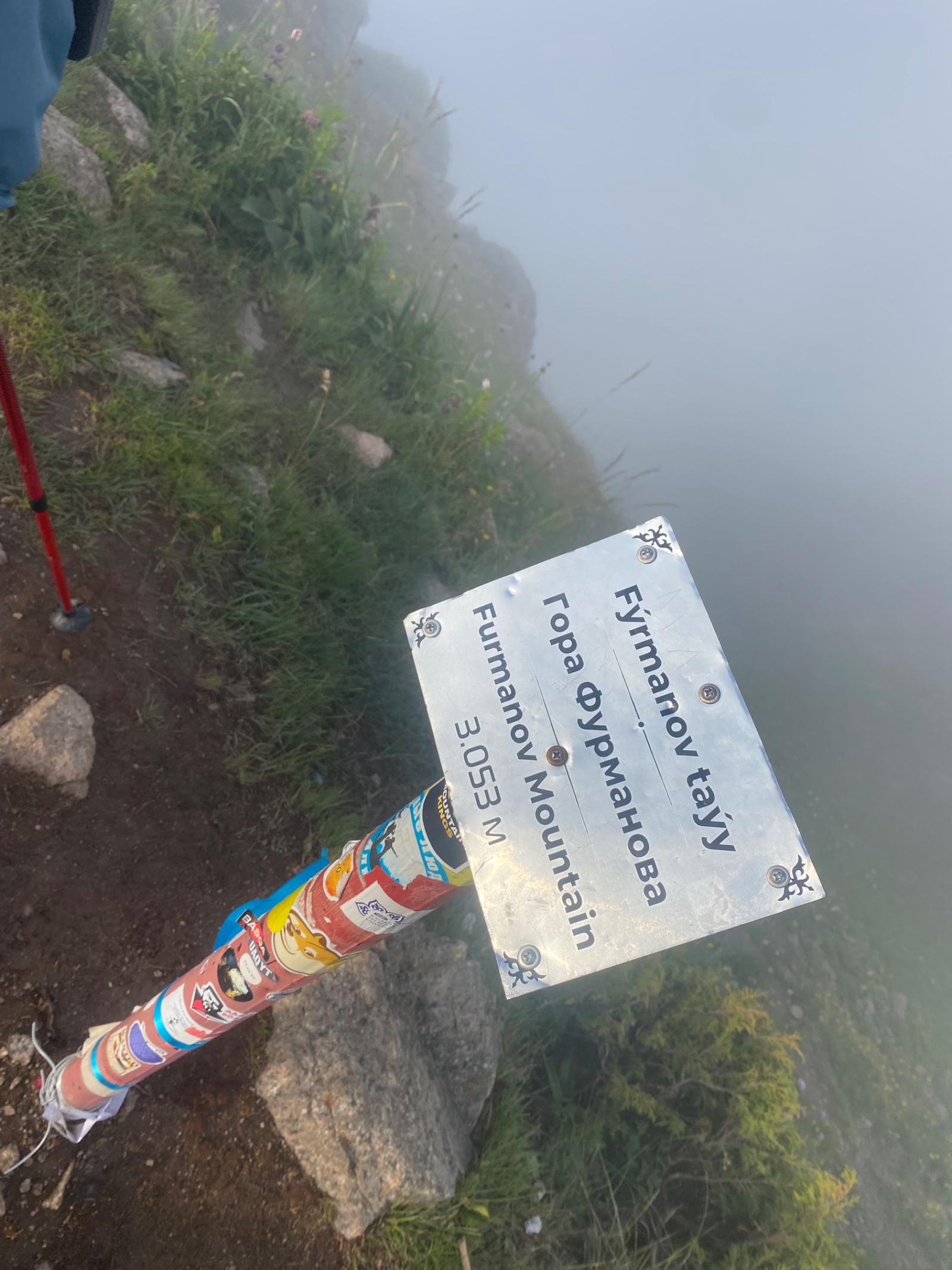
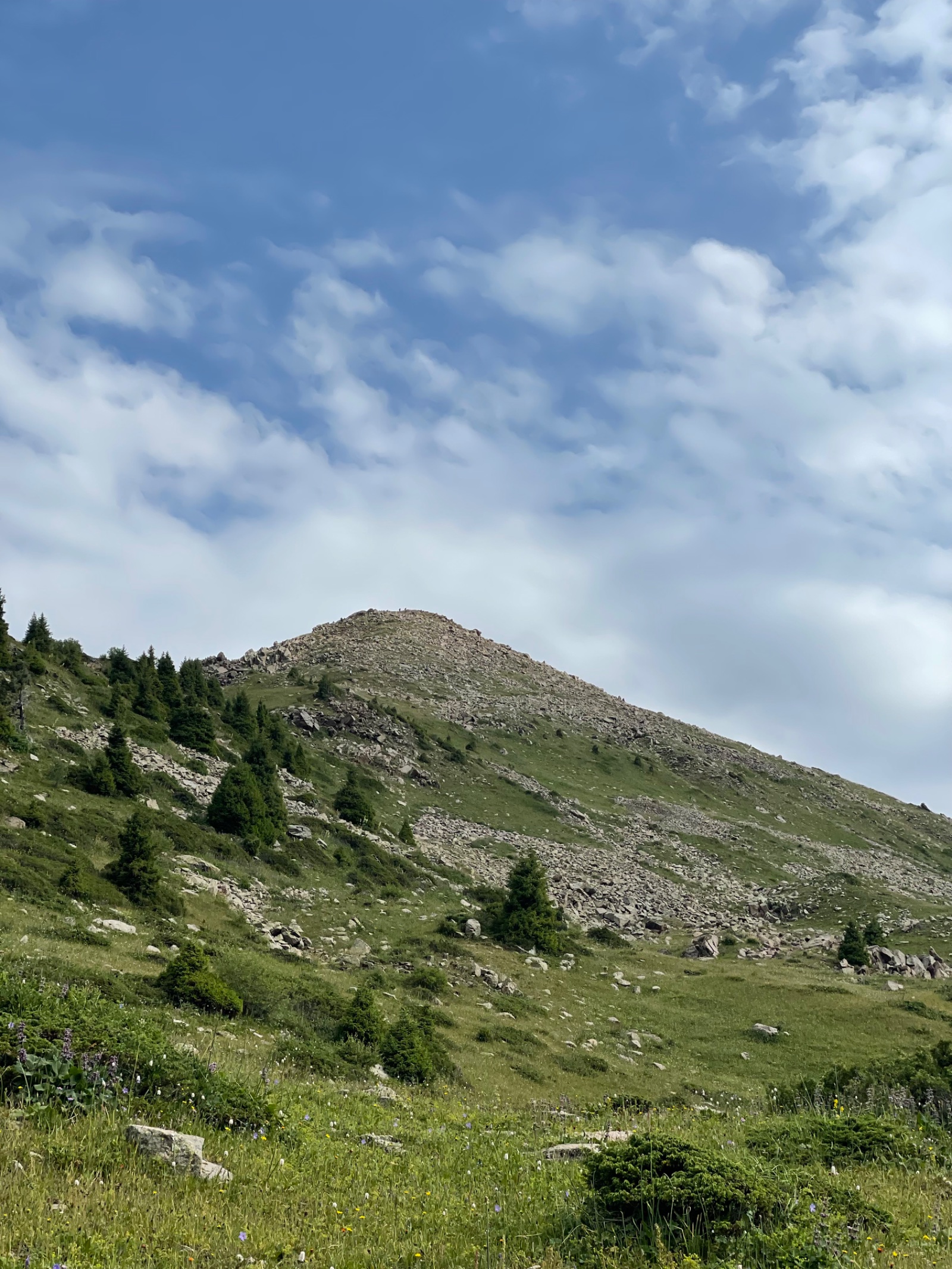
Can I combine Butakovka with other hikes? Yes. The gorge connects to several trail networks. From the Lower Waterfall, experienced hikers can continue up to Kotyrbulak Peak (3,050 m) for a panoramic summit — though this turns an easy day into a demanding full-day trek. The Medeo loop approach crosses Kim Asar Pass, which connects to the trails leading to Furmanov Peak and Panorama. Your guide can suggest combination options based on your fitness level.
Are there climbing routes at the waterfall? Yes. The granite walls beside the Lower Waterfall have 19 established sport climbing routes graded 5c to 8a (French system). The main wall to the left of the waterfall is approximately 70 m high with overhead anchors. Climbing is a separate activity — we can arrange a combined hiking-and-climbing day on request.
When is the waterfall at its most powerful? Late May through mid-June, when snowmelt feeds the stream at maximum flow. By August, the water volume decreases noticeably. In winter (December–March), the waterfall freezes entirely into dramatic ice columns.
Is Butakovka Gorge the same as Butakovsky Gorge? Yes — same place, different transliterations from Russian. You’ll also see it written as “Butakov Gorge” or “Butakovskiy Waterfall” in various sources. In Kazakh, the gorge was historically called Bokenbay, after a relative of Medeu. The current name comes either from the Kazakh word “butak” (branch/tributary) or from the surname of a 19th-century Cossack forest guard posted here — sources disagree, and both explanations may contribute.
Itinerary
Detailed itinerary will be provided upon booking. Our typical tour includes daily hikes through diverse terrains and cultural experiences.
Pricing
| Group Size | 1 person | 2 people | 3 people | 4 people | 5 people | 6 people Best value |
|---|---|---|---|---|---|---|
| Standard | $142 $142 total | $100 $200 total | $86 $258 total | $79 $316 total | $74 $370 total | $72 $432 total |
100% private tour — prices are per person based on group size. The more friends you bring, the less everyone pays!
What's Included
Included
Not Included
Our Guarantee
If weather forces a cancellation, we reschedule at no cost. If you're not satisfied with your experience, we'll work with you to make it right. No questions, no hassle.
Private tours only (max 6) · Free cancellation up to 48 hours before · No upfront payment
Traveler Stories
Sarah K.
Our guide was incredible - he adjusted the pace perfectly for our group and knew exactly where to stop for the best photos. The whole experience felt effortless, like everything was taken care of before we even thought to ask.
Marco T.
We were a group of 4 friends and the per-person price made it a no-brainer. Private 4x4, lunch included, and the canyon was breathtaking. Way better than the big bus tours we saw there.
Anna W.
Solo traveler here. I was nervous about hiking alone in a foreign country but the guide made me feel completely safe. The trail to Kok-Zhailau was beautiful and the photos he took of me were amazing. Only wish the hike was longer!
David R.
Third time booking with these guys. Butakovka, Big Almaty Lake, and now Titov Peak. Every single time the service is flawless. The fact that it's always private and max 6 people makes such a difference compared to other operators.
Share Your Experience


23+ hikers
completed this trail
Tour At A Glance
Book This Tour
Weekend slots fill up fast — book early to get your preferred date
Pay securely after confirmation


Weather Forecast
overcast clouds
H: 4°C
L: 1°C
Wed, Mar 25
clear sky
4°C
0° / 7°
Thu, Mar 26
clear sky
6°C
3° / 10°
Fri, Mar 27
clear sky
6°C
3° / 10°
Tour Location
Similar trails
Day Hiking Tour to the Black Waterfall (Tuyuksu) from Almaty
From $72/person
Day Hiking Tour to Kok-Zhailau from Almaty
From $72/personFrom $72
per person · free cancellation
Complete Your Booking
Tour:
Date:
Participants:
Price:
You're Almost There!
We'll contact you within 24 hours to confirm your spot and share everything you need to prepare for your adventure.
165
Videos on the channel
13,000+
16,000+
59
Hikes Filmed
704,000 m
Total Distance
44,439 m
Total Elevation Gain
812 cups
Grand Cru Tea Cups
27
Countries Visited
83 hours
Drone Flight Hours
10 videos
Sports: Running, Snowboard
3 videos
Healthy Eating
1
Living on the Edge