Day Hiking Tour to Mokhnatka Mountain from Almaty
From $72 per person


Overview
Is this hike right for you?
Perfect if you…
No experience needed
Description
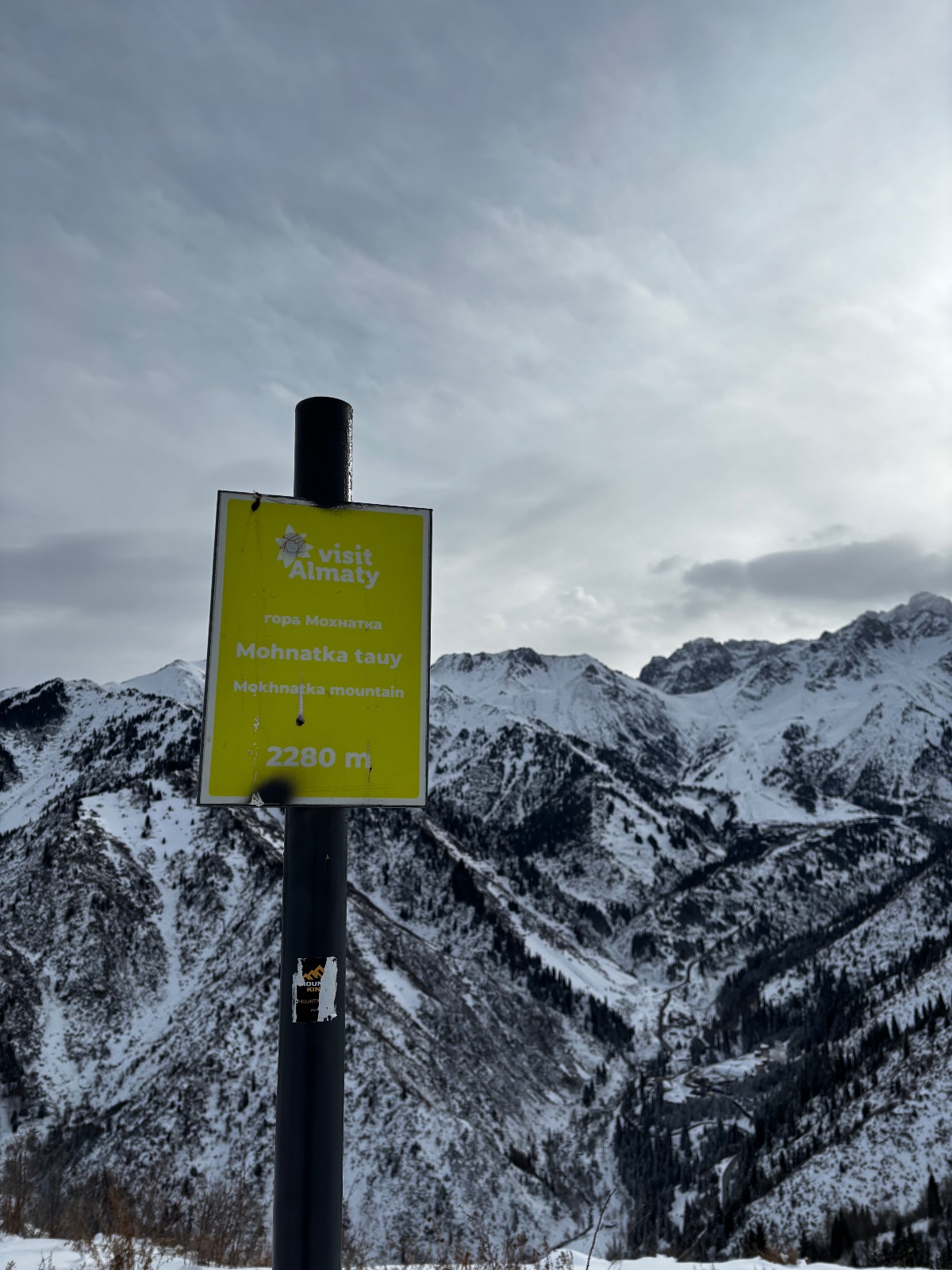
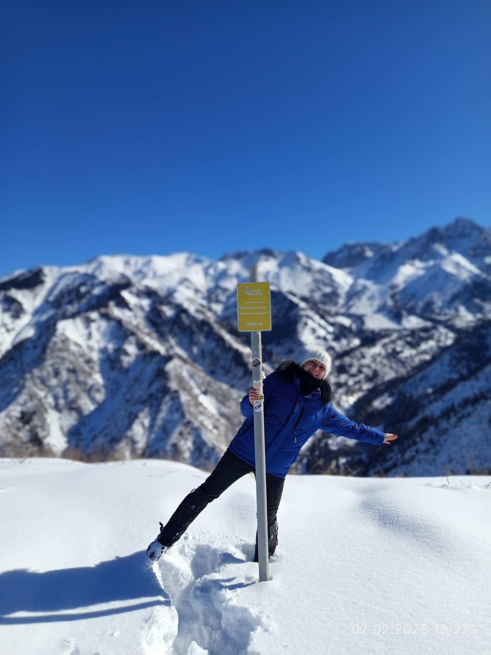
A half-day guided hike from Almaty to the summit of Mokhnatka Mountain (2,280 m) — a forested peak on the ridge between the Small Almaty Gorge and Kok-Zhailau plateau, offering 360° views of Shymbulak, Kumbel Peak, and the entire city of Almaty.
What to expect on the Mokhnatka hike from Almaty
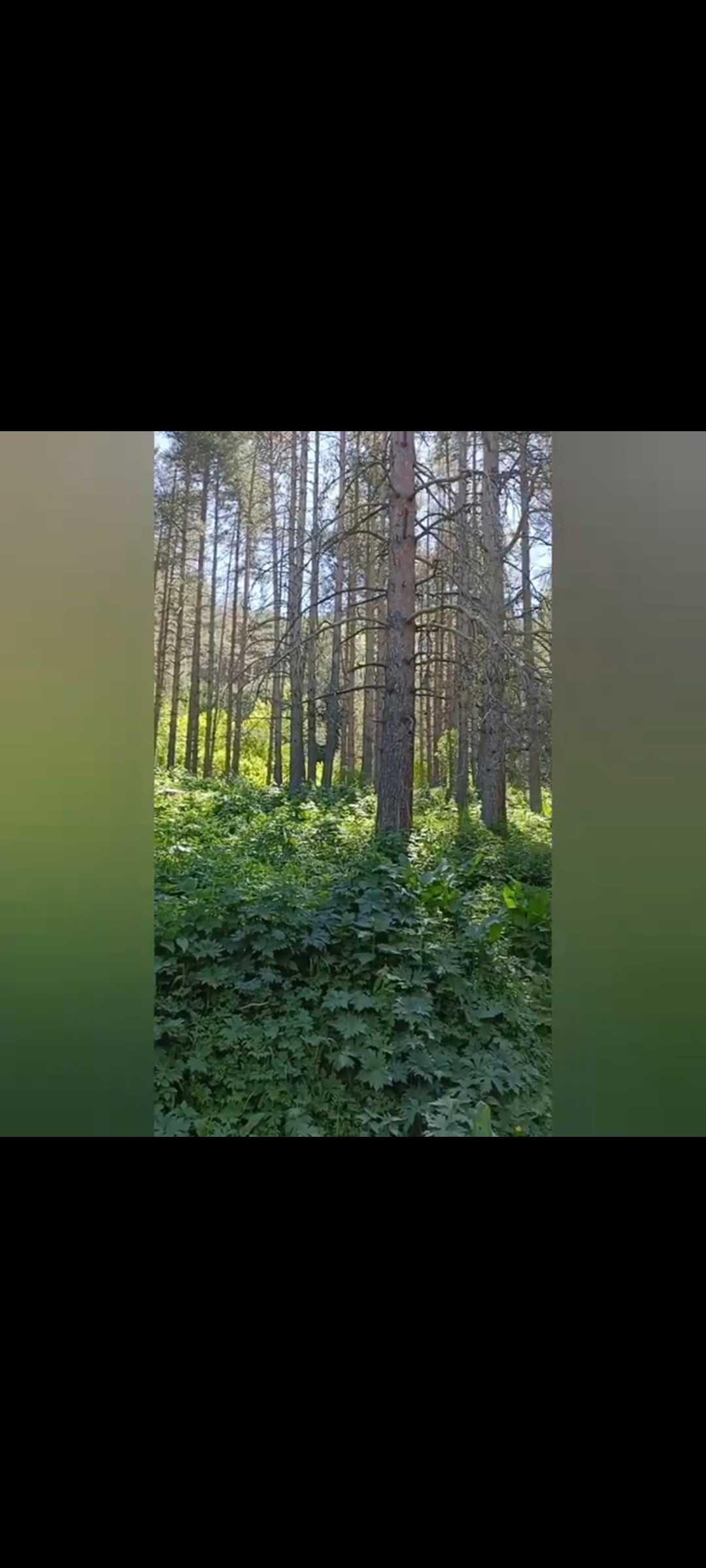
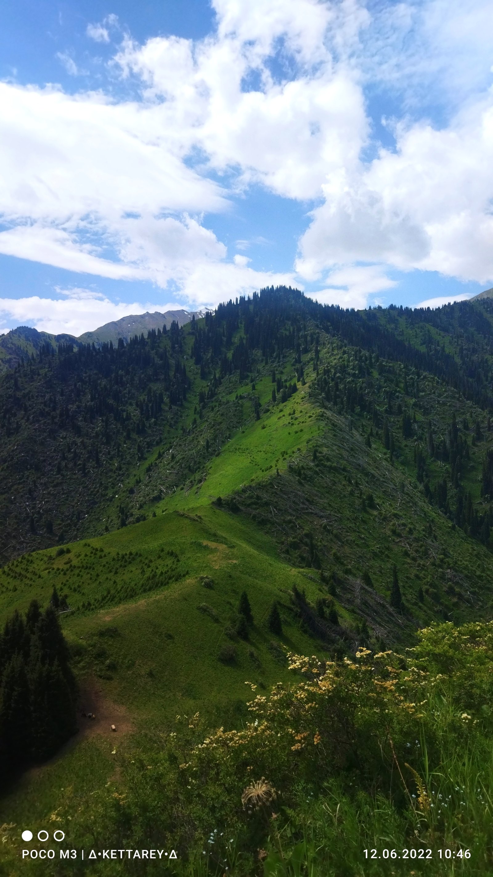
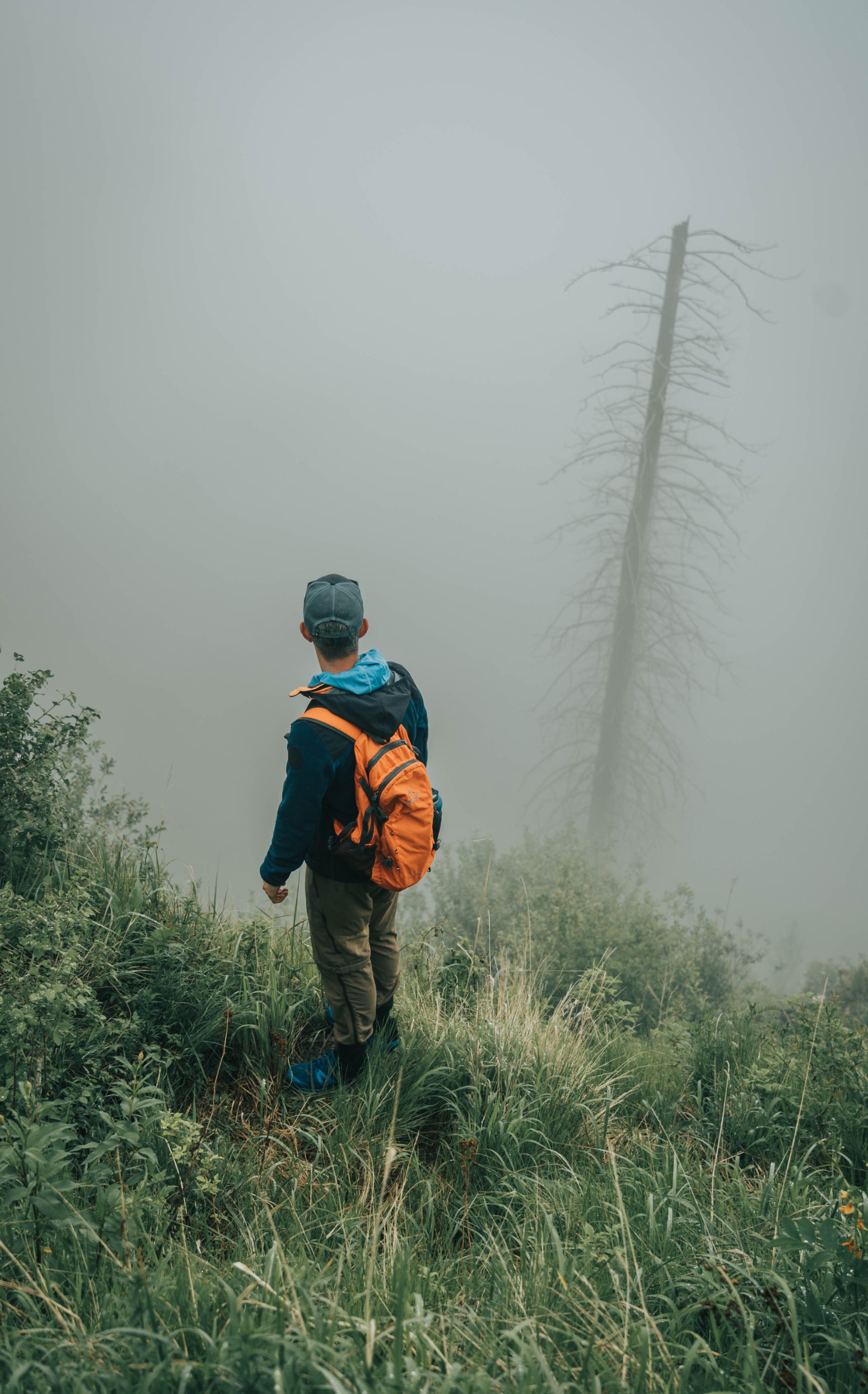
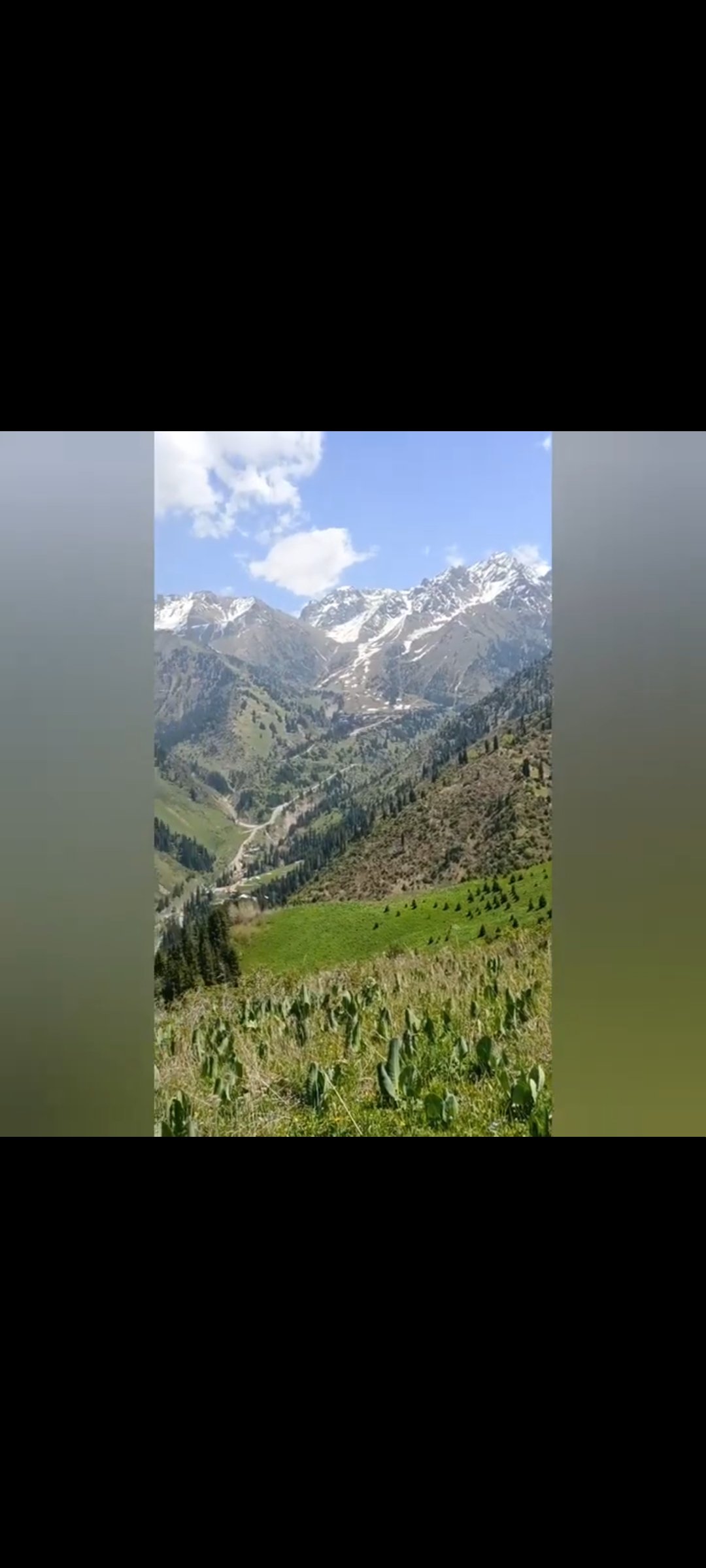
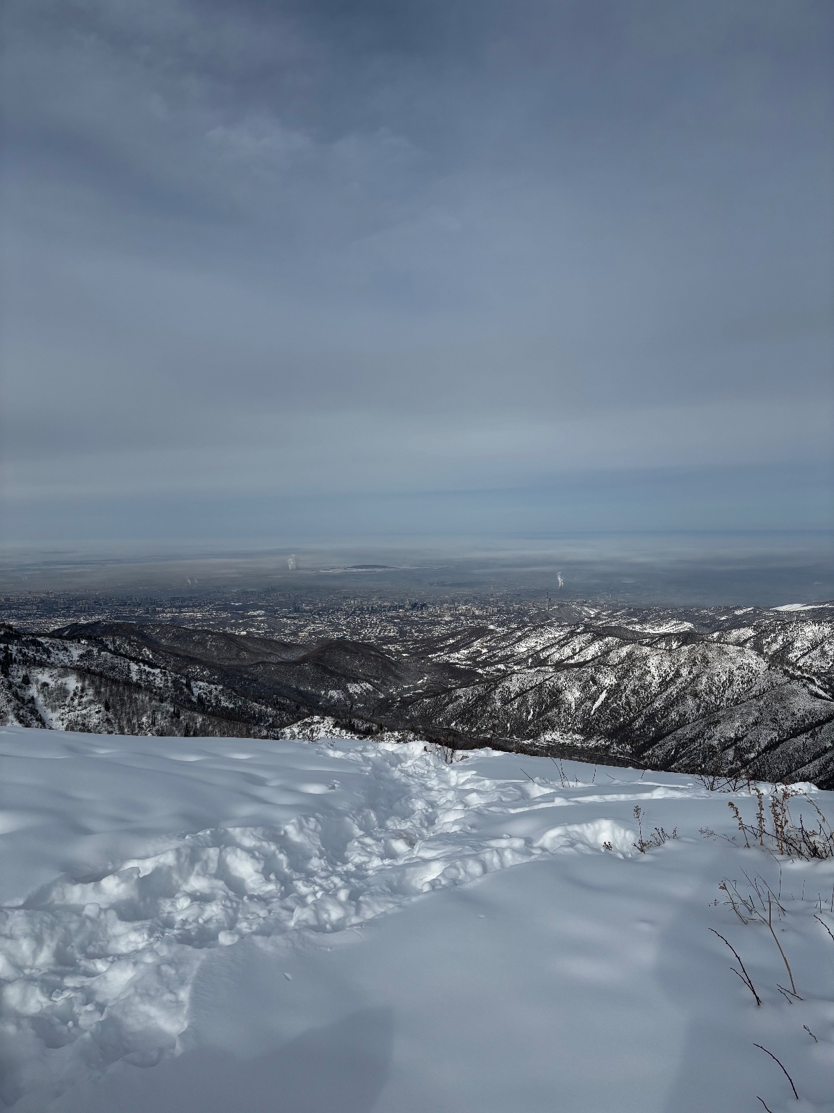
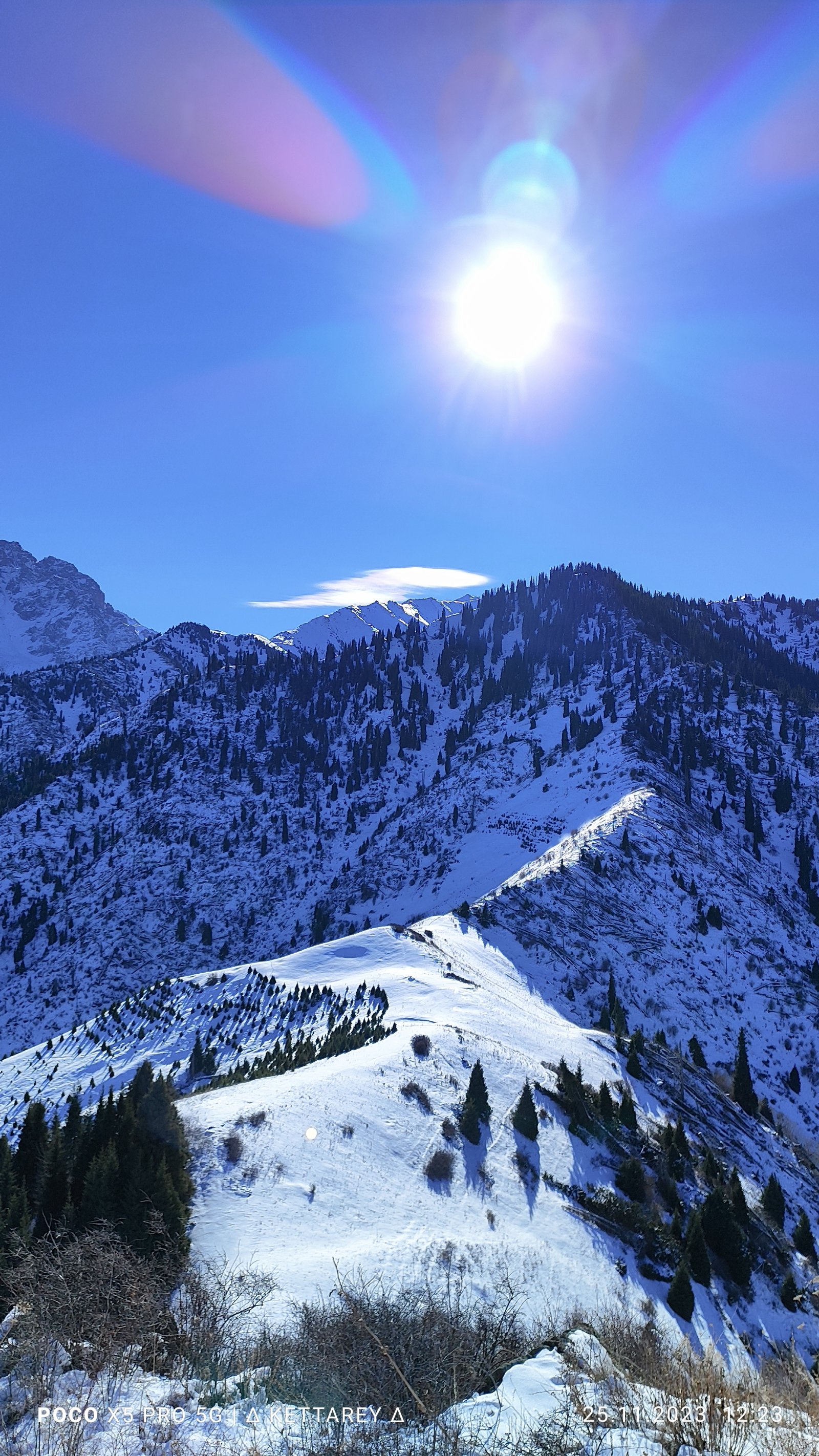
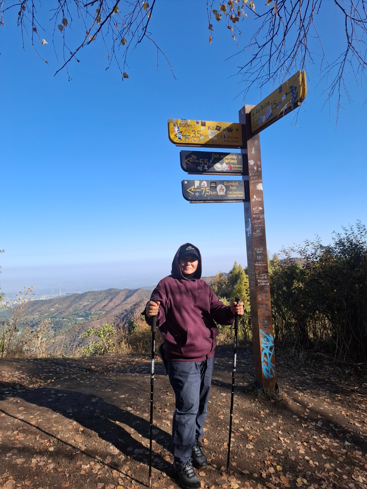
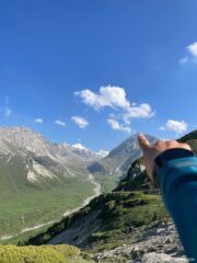
The Mokhnatka hike from Almaty is one of the most rewarding easy-to-moderate trails near the city — a quieter alternative to the popular Kok-Zhailau plateau or the Kim Asar swings, on a mountain that most Almaty residents have seen a thousand times without knowing its name. Mokhnatka is the forested dome visible from Medeo, sitting right between the Small Almaty Gorge and the Kok-Zhailau area. Its summit is a flat, grassy clearing at 2,280 m with benches, a full panorama of the Zailiysky Alatau, and a direct view down into Almaty that feels more immediate than any viewpoint in the area.
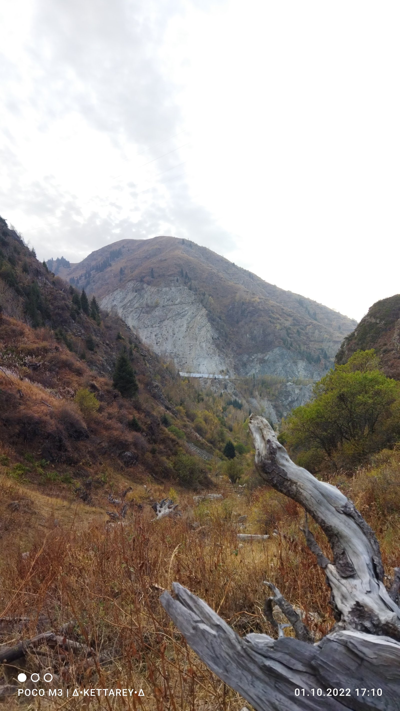
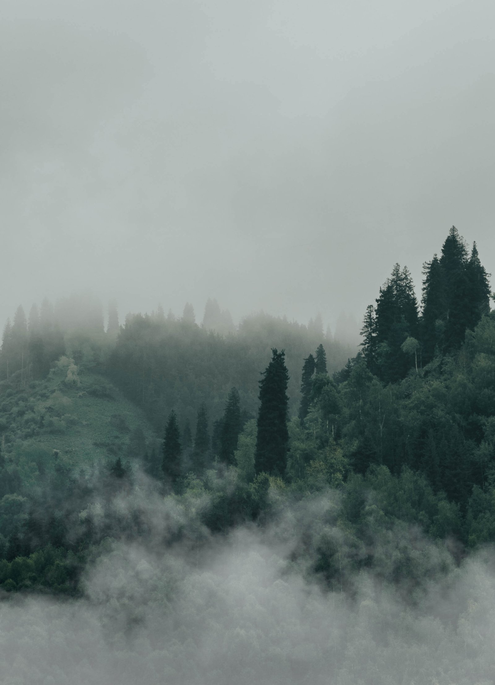
The name means “hairy” or “furry” in Russian — a reference to the dense coniferous forest that once covered its slopes so thickly the mountain looked shaggy. After a devastating 2011 hurricane that uprooted over 90,000 trees across the Almaty mountains, locals started joking that “Bald Mountain” would be a better name. The forest is recovering, but you’ll still see fallen trunks along the trail — a reminder of how exposed these mountains are to extreme weather.
The trail starts from the Prosveshchenets (Akbulak) bus stop at about 1,536 m elevation and follows the same initial approach as the Kok-Zhailau route before branching left onto a quieter path. The first two kilometers are gentle, winding through spruce and pine forest with almost no elevation gain. Then the trail steepens as it climbs to the ridge, and the final 300–400 m to the summit are the toughest part — a sustained steep ascent that rewards you with the summit clearing and its 360° views.
Detailed Itinerary
Pickup and drive to the trailhead (30 minutes)
We pick you up from your accommodation in Almaty and drive south toward Medeo. The trailhead is at the Prosveshchenets (Akbulak) bus stop, about 14 km from the city center — the same starting point as the Kok-Zhailau trail. Elevation at the trailhead: approximately 1,536 m.
Forest section: Prosveshchenets to the ridge junction (1–1.5 hours)
From the bus stop, we follow the paved road toward Kok-Zhailau for a short distance, then turn left before the asphalt ends. A signpost marks the turnoff to Mokhnatka (though signs have occasionally been removed or damaged — this is where having a guide matters).
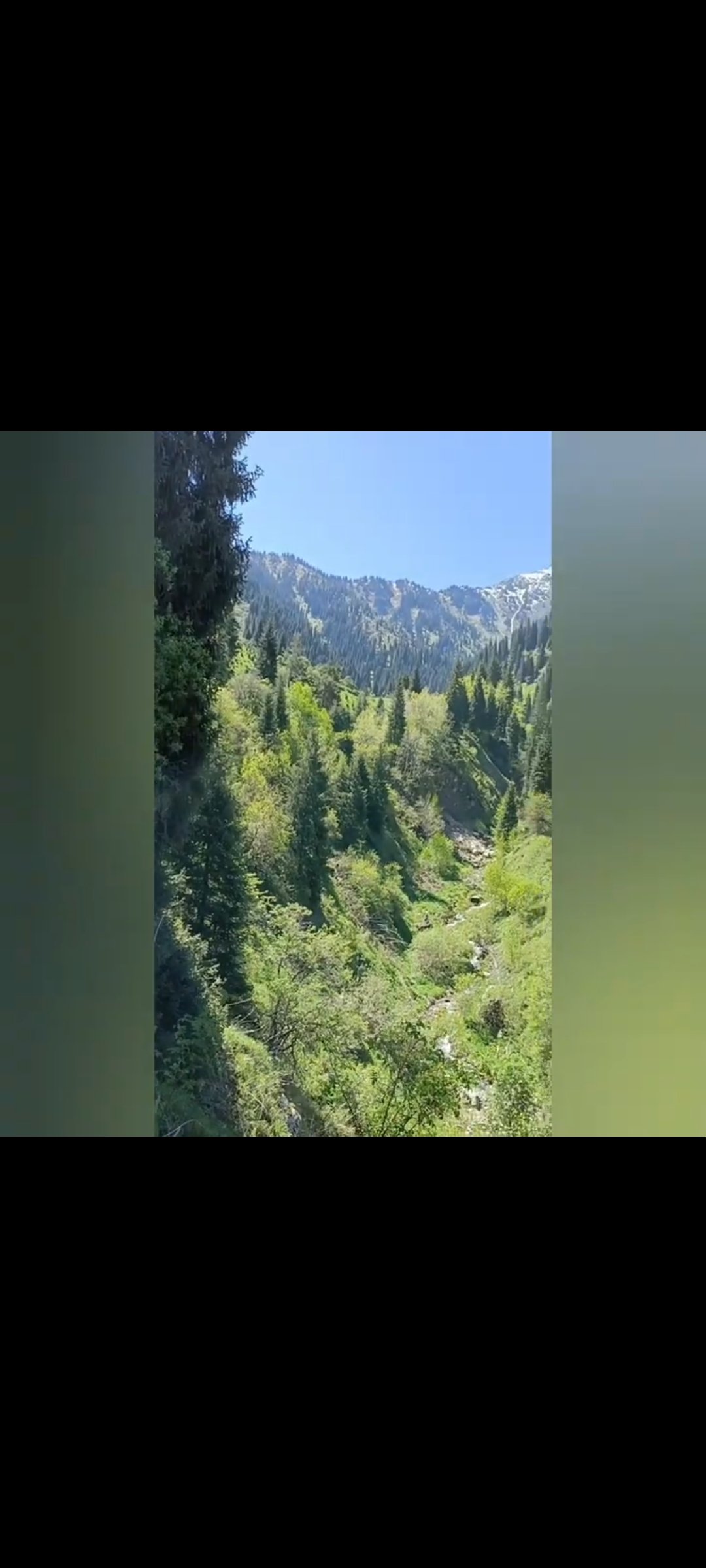
The trail enters a beautiful mixed forest of Schrenk’s spruce, Scots pine, and birch. The first 2 km are nearly flat, winding gently through the forest with Kumbel Peak (3,160 m) visible through gaps in the trees to the south. The old Prosveshchenets sanatorium buildings are visible to the right — a Soviet-era rest facility for teachers that has since changed hands.
Trail markers are positioned along the route. The trail is well-defined but not as heavily trafficked as the main Kok-Zhailau path, which means fewer people and a quieter atmosphere.
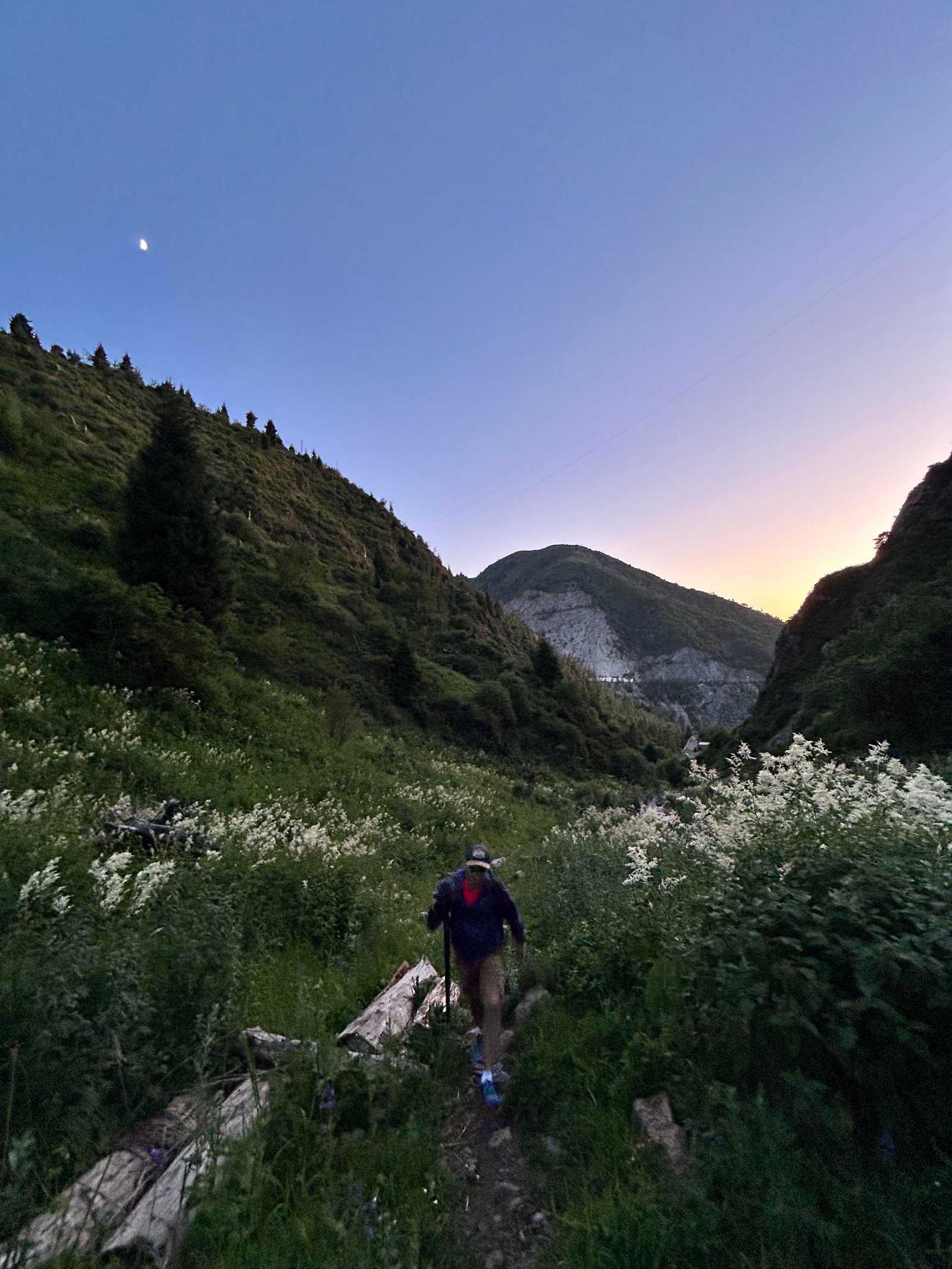
Ridge ascent (45–60 minutes)
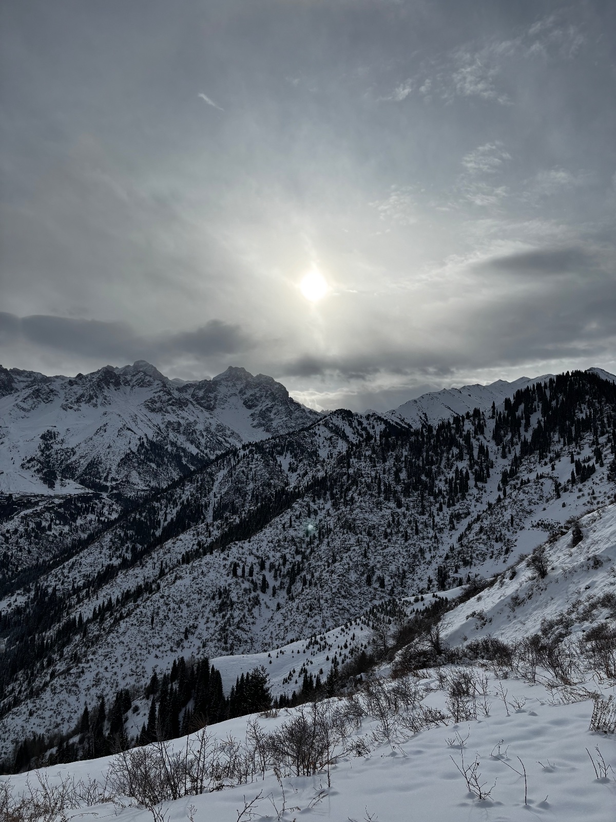
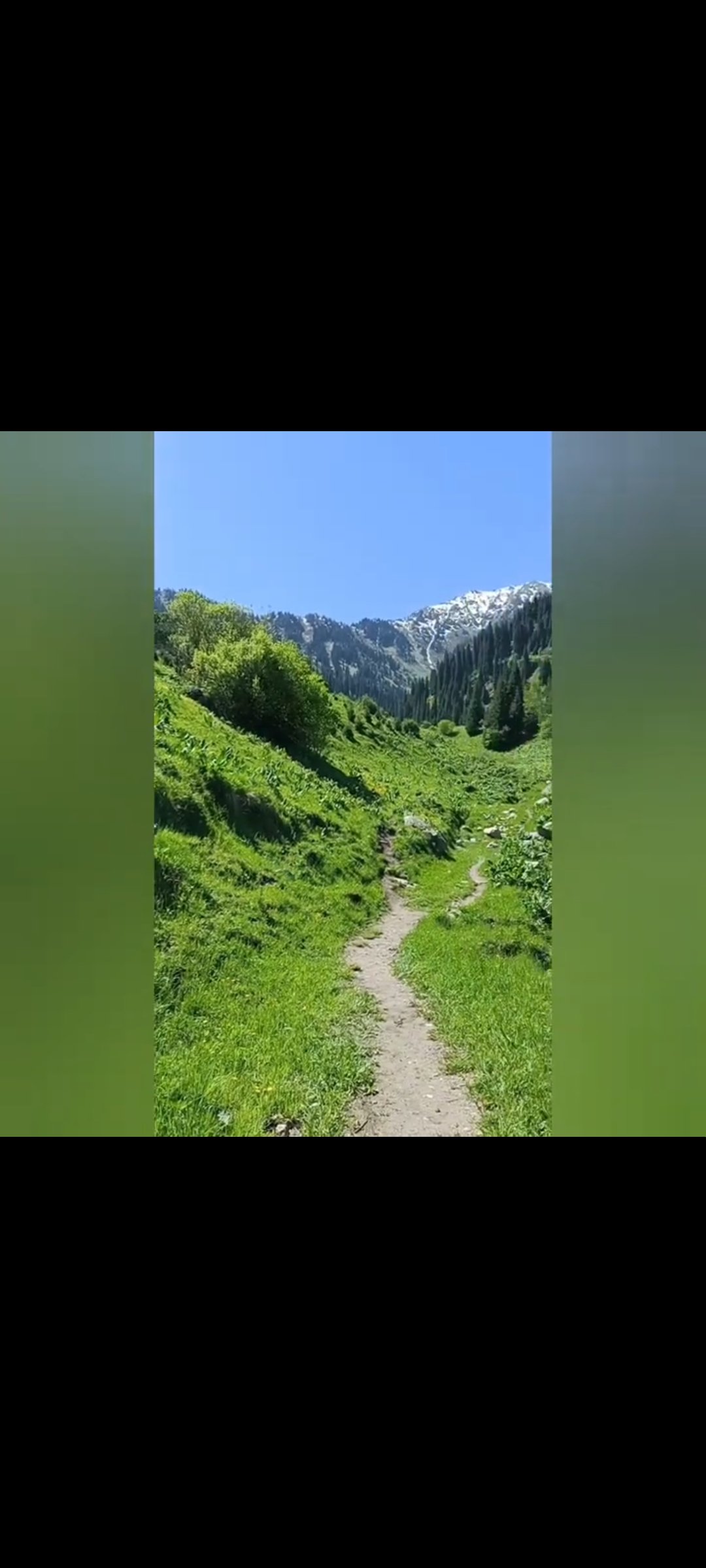
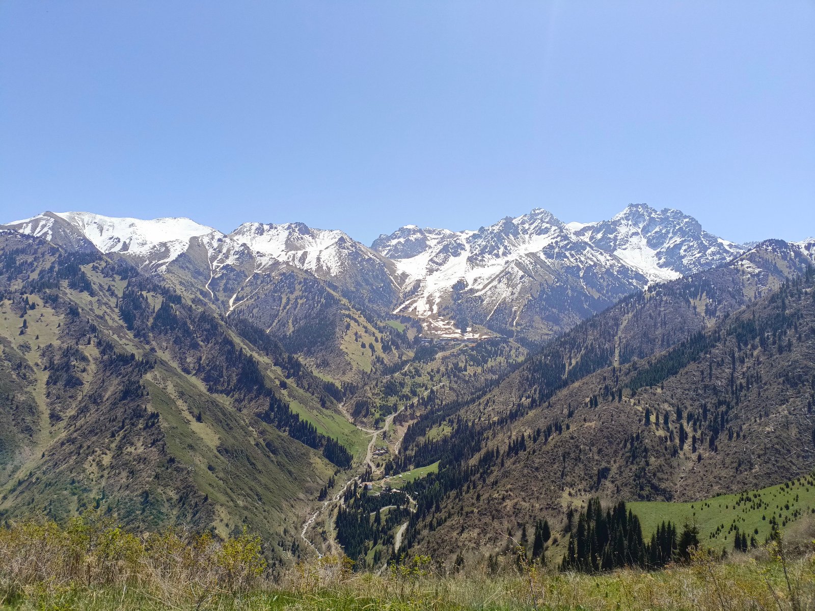
The trail steepens as it climbs toward the ridge that connects to the Kok-Zhailau plateau area. This section gains most of the elevation. As you emerge from the dense forest onto the more open ridge at about 2,000 m, views begin opening up: the Small Almaty Gorge below, the Medeo dam, and Shymbulak ski resort across the valley.
At the ridge, a signpost offers a choice: left toward Mokhnatka summit, right toward a descent to the Medeo–Shymbulak road.
Summit push: ridge to Mokhnatka peak (20–30 minutes)
The final 300–400 m from the ridge to the summit are the steepest section of the hike — a sustained climb that will get your heart rate up. The trail is narrow and can be slippery when wet. Trekking poles are helpful here.
At the summit: 2,280 m (30–60 minutes)
The summit is a large, flat clearing — a genuine surprise after the forested climb. Benches are installed for resting. The panorama is 360°:
- North: Almaty spread out below, the steppe beyond
- South: Kumbel Peak (3,160 m) and the high ridges of the Zailiysky Alatau
- East: The Small Almaty Gorge, Medeo dam, and Shymbulak ski resort
- West: The Kok-Zhailau plateau and the ridge extending toward Big Almaty Gorge
On clear days, this is one of the best viewpoints near Almaty — close enough to the city to see individual buildings, high enough to see the mountain architecture of the entire northern Tien Shan front range.
Descent (1.5–2 hours)
We retrace our steps back to Prosveshchenets. This is the recommended descent route.
Important warning: There is a trail descending from the ridge toward the Medeo dam and the Medeo–Shymbulak road. This descent is extremely steep, poorly maintained, overgrown, crosses wet and rocky terrain with stream channels, and has caused problems for many hikers. Multiple local reviews describe it as dangerous, especially when wet. We do not use this route. Always descend via the Prosveshchenets approach trail.
Drive back to Almaty (30 minutes)
We drive you back to your accommodation from the trailhead.
Why Mokhnatka? The case for the overlooked mountain
Every Almaty hiker knows Kok-Zhailau, Kim Asar swings, and the Furmanov–Panorama ridge. Mokhnatka sits between all of them geographically but gets a fraction of the foot traffic. That’s the appeal.
The trail shares the same starting point as Kok-Zhailau (Prosveshchenets) and the same general forest zone, but it branches off onto a quieter route that feels more like a mountain hike and less like a city park. You won’t see running groups and picnic crowds here — at least not yet. On weekdays, you may have the summit to yourself.
Mokhnatka is also an excellent “stepping stone” hike. If you’ve done Kok-Zhailau and found it comfortable, Mokhnatka adds a bit more challenge (the final ridge section is steeper than anything on the Kok-Zhailau trail) while staying in the beginner-friendly range. If you’re building toward the Furmanov Peak or the Four Peaks traverse, Mokhnatka is a good acclimatization and fitness test.
The 2011 hurricane and the “bald” mountain
Mokhnatka earned its name — “furry mountain” — from the thick conifer forest that once covered it from base to summit. In 2011, a severe hurricane hit the Almaty mountains and uprooted over 90,000 trees across the Ile-Alatau National Park. Mokhnatka was heavily affected. The forest on the upper slopes and the ridge was shattered. Fallen trunks still litter the slopes alongside the trail.
The forest is slowly recovering — young growth is visible in many places — but hikers who remember the mountain before 2011 say it looks quite different. Budget was allocated for clearing, and the main trails were cleaned, but off-trail areas remain tangled with deadfall. The silver lining: the reduced tree cover on the upper sections means better views during the ascent than hikers enjoyed a decade ago.
Why book a guided Mokhnatka hike?
Mokhnatka is technically accessible independently — it starts from a public bus stop and the trail has markers. But several factors make a guide worthwhile:
Navigation: The turnoff from the Kok-Zhailau approach to the Mokhnatka trail is easy to miss, especially since trail signs have been intermittently removed. The trail is less worn than the Kok-Zhailau path, and in the forest zone, wrong turns are possible.
The dangerous descent: The alternative descent toward the Medeo dam is steep, overgrown, and dangerous — yet it looks tempting on a map and has signposts that don’t warn of the difficulty. Multiple hikers have had bad experiences on this route. A guide ensures you take the correct, safe return path.
Transport: The Prosveshchenets bus stop is reachable by public bus 12, but timing your return after a summit hike means either a long wait or a walk to Medeo. We provide door-to-door transport.
Context: The trail passes through the same ecological zone as Kok-Zhailau — Ile-Alatau National Park — with the same wildlife (including bears, foxes, deer, and over 100 bird species). A guide adds ecological and geological context that makes the forest section more than just a walk.
FAQ: Mokhnatka Mountain Hike
How difficult is the Mokhnatka hike? Rated 2/5. The first 2 km are nearly flat forest walking. The middle section is a moderate climb through forest to the ridge. The final 300–400 m to the summit are steep — the hardest section — but short. Anyone with average fitness and proper footwear can complete it. The total round trip takes 3–5 hours.
Is Mokhnatka the same trail as Kok-Zhailau? No, but they share the same starting point (Prosveshchenets bus stop). You walk the same initial road toward Kok-Zhailau, then turn left onto the Mokhnatka trail before the asphalt ends. The two routes diverge completely after that.
Can I do a loop via the Medeo dam? Technically possible but strongly discouraged. The descent from the Mokhnatka ridge toward the Medeo–Shymbulak road is extremely steep, overgrown with tall grass and fallen trees, has wet/slippery sections with stream channels, and has caused trouble for experienced hikers. Multiple local reviews describe it as dangerous. We always descend via the ascent route back to Prosveshchenets.
Is Mokhnatka suitable for children? Children aged 10+ with hiking experience should be fine, but the steep final section requires confidence on steep terrain. The forest section is lovely for families. Consider turning around at the ridge viewpoint if kids are tiring — the views from the ridge are already excellent.
When is the best time to hike Mokhnatka? May through October. Early June and September–October are ideal — fewer people, comfortable temperatures, clear views. In summer, start early to avoid afternoon heat on the exposed ridge. The trail is accessible in winter with proper footwear (microspikes or similar), but snow can obscure the path.
Are there ticks? Yes. The lower forest section is in tick territory, especially May through August. Wear long trousers, apply repellent, and check for ticks after the hike. Above the treeline (~2,100 m), ticks are not a concern.
Is there water on the trail? No reliable water sources. Bring at least 2 liters per person (more in summer heat). The trailhead at Prosveshchenets has no facilities.
How does Mokhnatka compare to Kok-Zhailau? Similar distance and elevation gain, but different character. Kok-Zhailau takes you to a broad alpine plateau — it’s open, social, and popular. Mokhnatka takes you to a peak summit — it’s forested, quieter, and feels more like a proper mountain hike. The final section of Mokhnatka is steeper than anything on the Kok-Zhailau trail. If you’ve done one, the other is a natural next step.
What views will I see from the summit? The summit is a flat clearing with 360° views: Almaty city and the steppe to the north, Kumbel Peak (3,160 m) and the Zailiysky Alatau high ridge to the south, the Small Almaty Gorge with Medeo dam and Shymbulak to the east, and the Kok-Zhailau plateau extending toward Big Almaty Gorge to the west.
Can I combine Mokhnatka with Kok-Zhailau? Possible for strong hikers — both share the same trailhead. But this makes for a very long day (7–9 hours of walking). Better to do them on separate days.
Itinerary
Detailed itinerary will be provided upon booking. Our typical tour includes daily hikes through diverse terrains and cultural experiences.
Pricing
| Group Size | 1 person | 2 people | 3 people | 4 people | 5 people | 6 people Best value |
|---|---|---|---|---|---|---|
| Standard | $142 $142 total | $100 $200 total | $86 $258 total | $79 $316 total | $74 $370 total | $72 $432 total |
100% private tour — prices are per person based on group size. The more friends you bring, the less everyone pays!
What's Included
Included
Not Included
Our Guarantee
If weather forces a cancellation, we reschedule at no cost. If you're not satisfied with your experience, we'll work with you to make it right. No questions, no hassle.
Private tours only (max 6) · Free cancellation up to 48 hours before · No upfront payment
Traveler Stories
Sarah K.
Our guide was incredible - he adjusted the pace perfectly for our group and knew exactly where to stop for the best photos. The whole experience felt effortless, like everything was taken care of before we even thought to ask.
Marco T.
We were a group of 4 friends and the per-person price made it a no-brainer. Private 4x4, lunch included, and the canyon was breathtaking. Way better than the big bus tours we saw there.
Anna W.
Solo traveler here. I was nervous about hiking alone in a foreign country but the guide made me feel completely safe. The trail to Kok-Zhailau was beautiful and the photos he took of me were amazing. Only wish the hike was longer!
David R.
Third time booking with these guys. Butakovka, Big Almaty Lake, and now Titov Peak. Every single time the service is flawless. The fact that it's always private and max 6 people makes such a difference compared to other operators.
Share Your Experience


14+ hikers
completed this trail
Tour At A Glance
Book This Tour
Weekend slots fill up fast — book early to get your preferred date
Pay securely after confirmation


Weather Forecast
overcast clouds
H: 6°C
L: 3°C
Tue, Mar 31
overcast clouds
10°C
4° / 14°
Wed, Apr 1
overcast clouds
12°C
9° / 15°
Thu, Apr 2
broken clouds
13°C
10° / 17°
Tour Location
Similar trails
Guided Climb of Peak Yukon (3,540 m)
From $147/person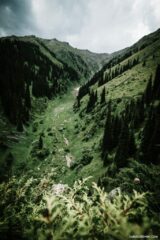
Day Hiking Tour to Eagle’s Nest Viewpoint from Almaty
From $77/person
From $72
per person · free cancellation
Complete Your Booking
Tour:
Date:
Participants:
Price:
You're Almost There!
We'll contact you within 24 hours to confirm your spot and share everything you need to prepare for your adventure.
165
Videos on the channel
13,000+
16,000+
59
Hikes Filmed
704,000 m
Total Distance
44,439 m
Total Elevation Gain
812 cups
Grand Cru Tea Cups
27
Countries Visited
83 hours
Drone Flight Hours
10 videos
Sports: Running, Snowboard
3 videos
Healthy Eating
1
Living on the Edge