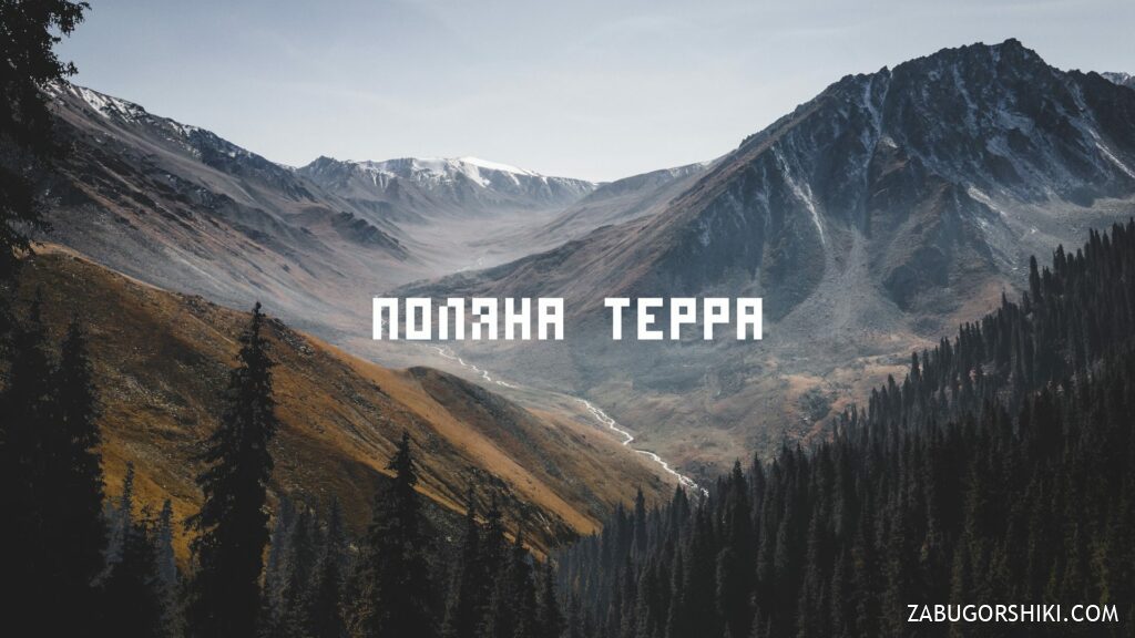
Terra Field and Alyoshkin Bridge: how to get there, route, Almaty mountains
From $65 per person


Overview
Is this hike right for you?
Perfect if you…
Good to know
Description
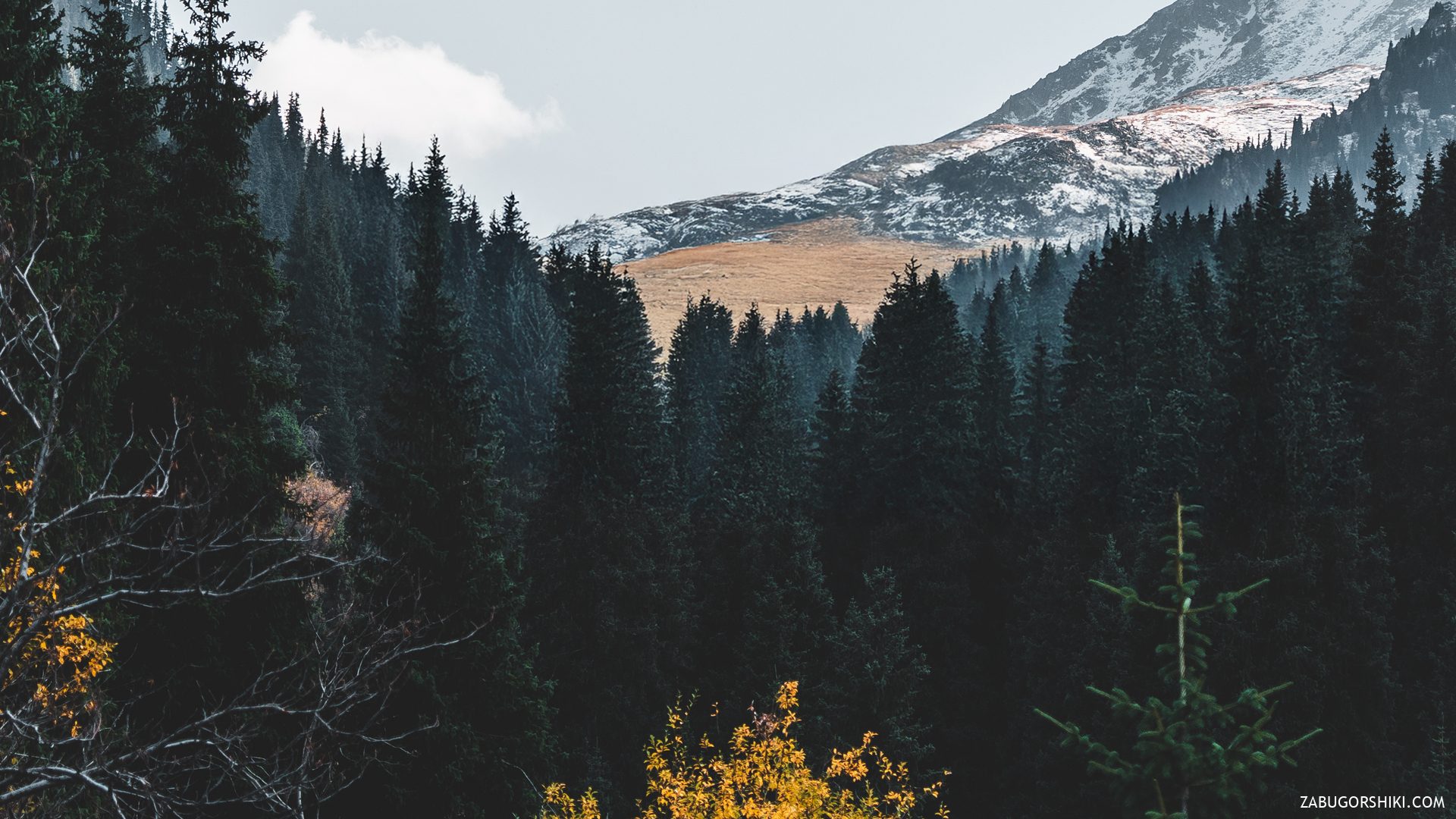
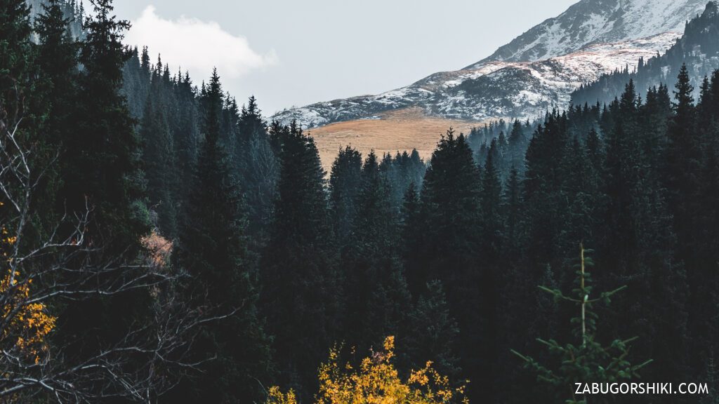
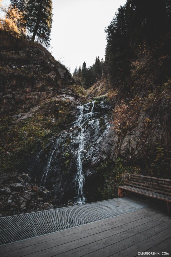
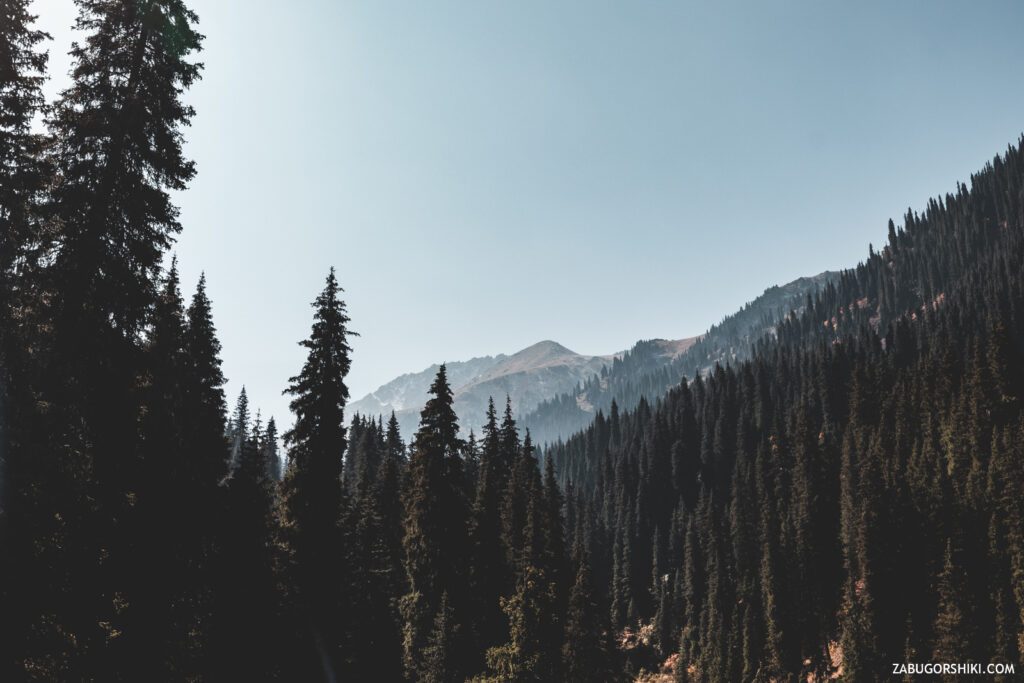
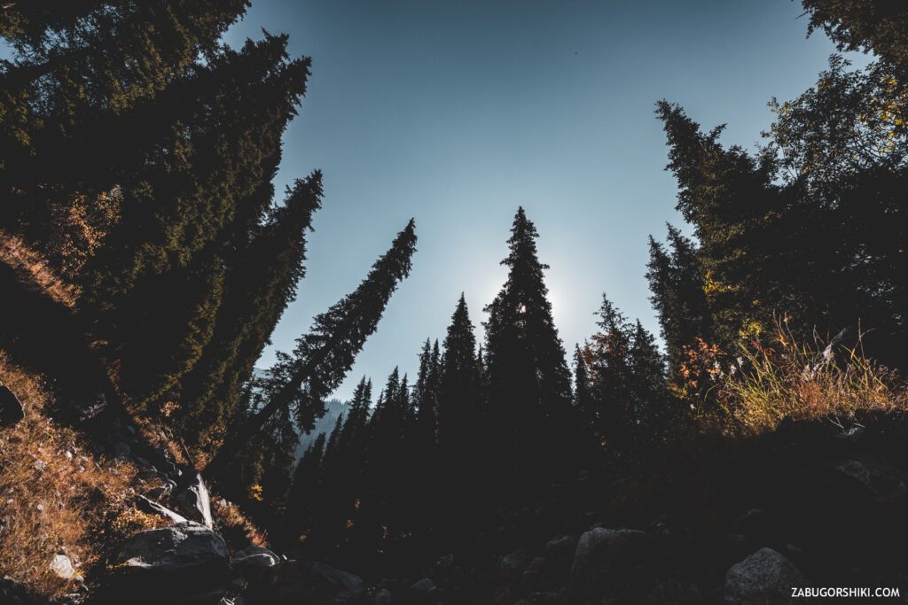
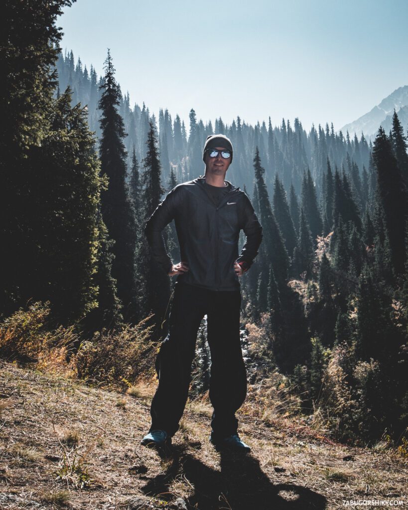
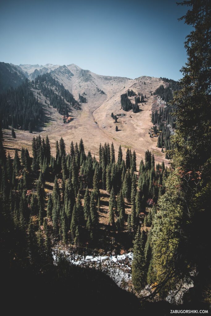
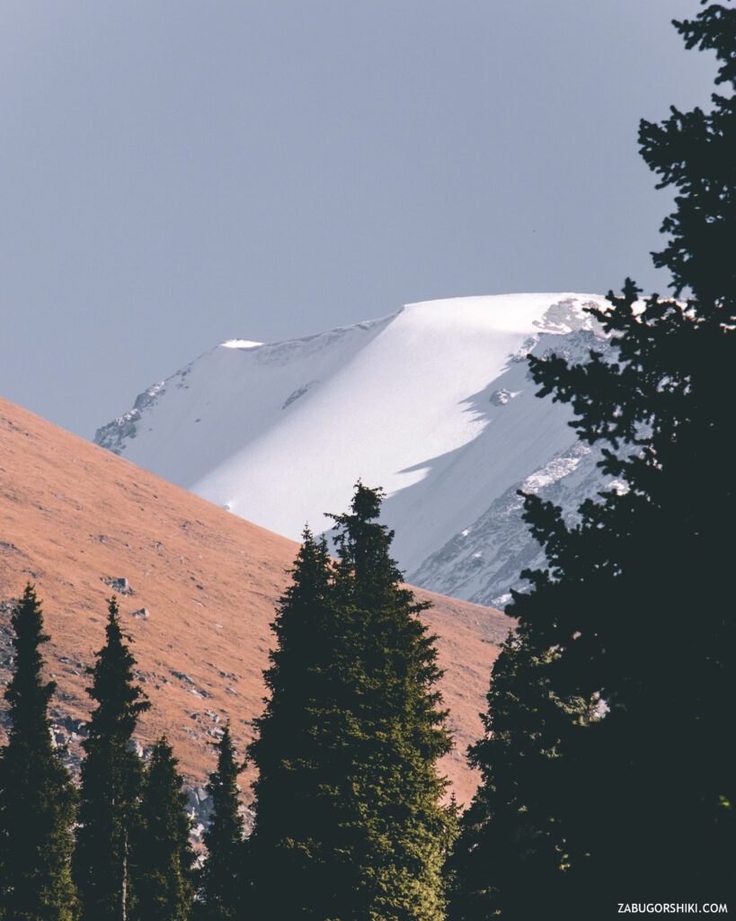
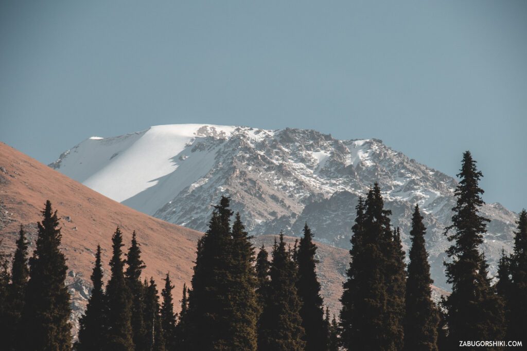
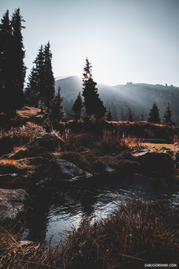
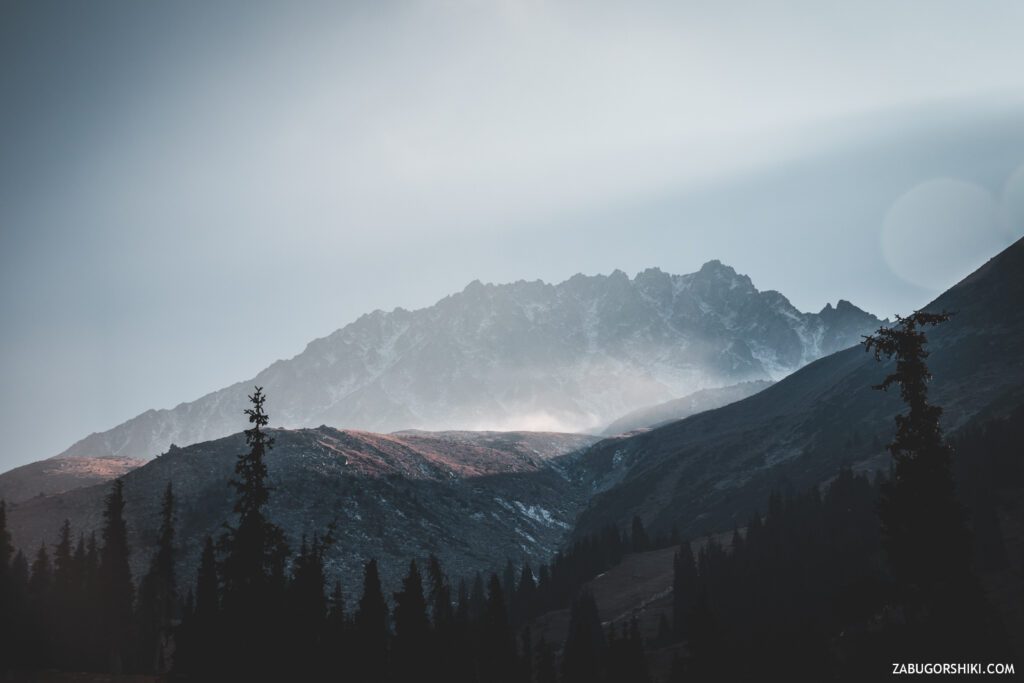
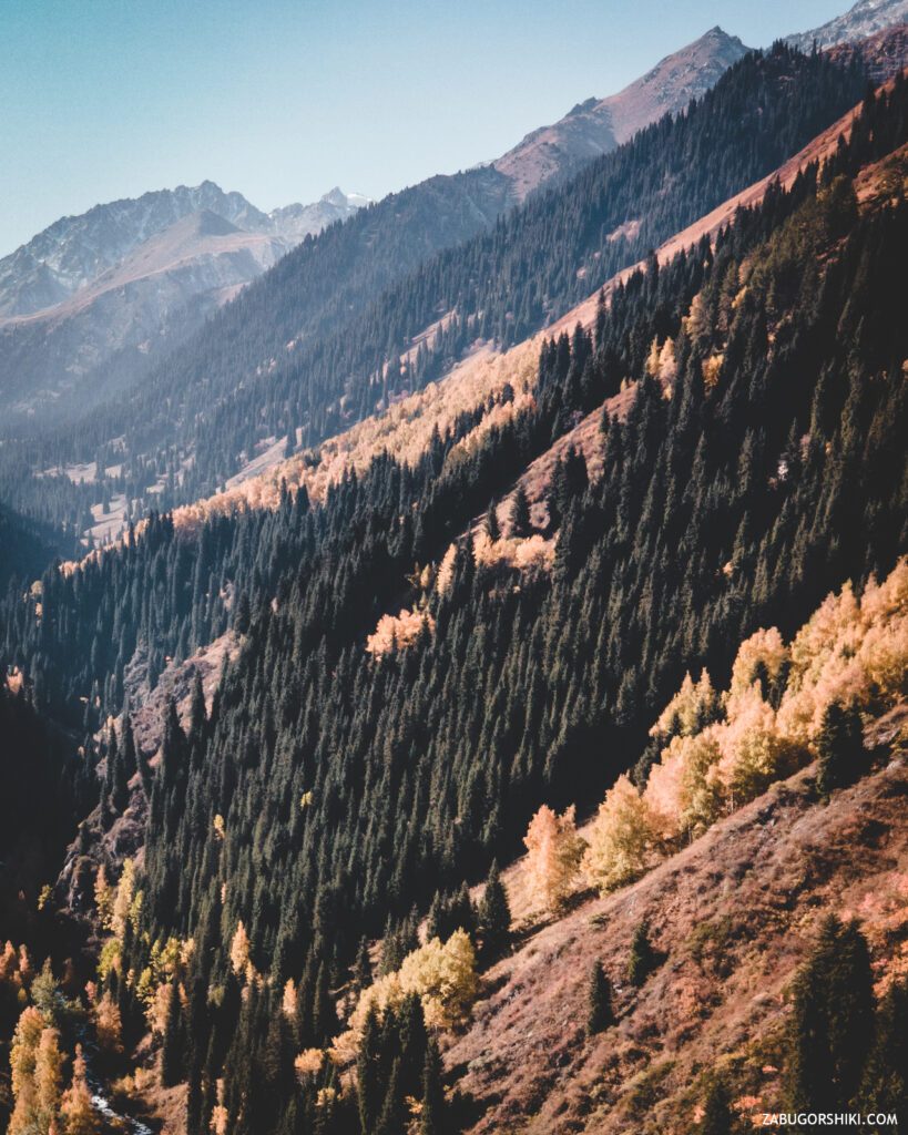
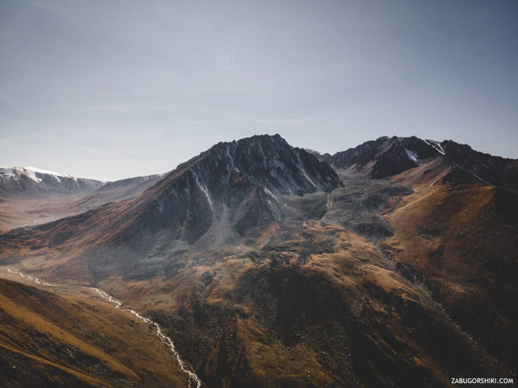
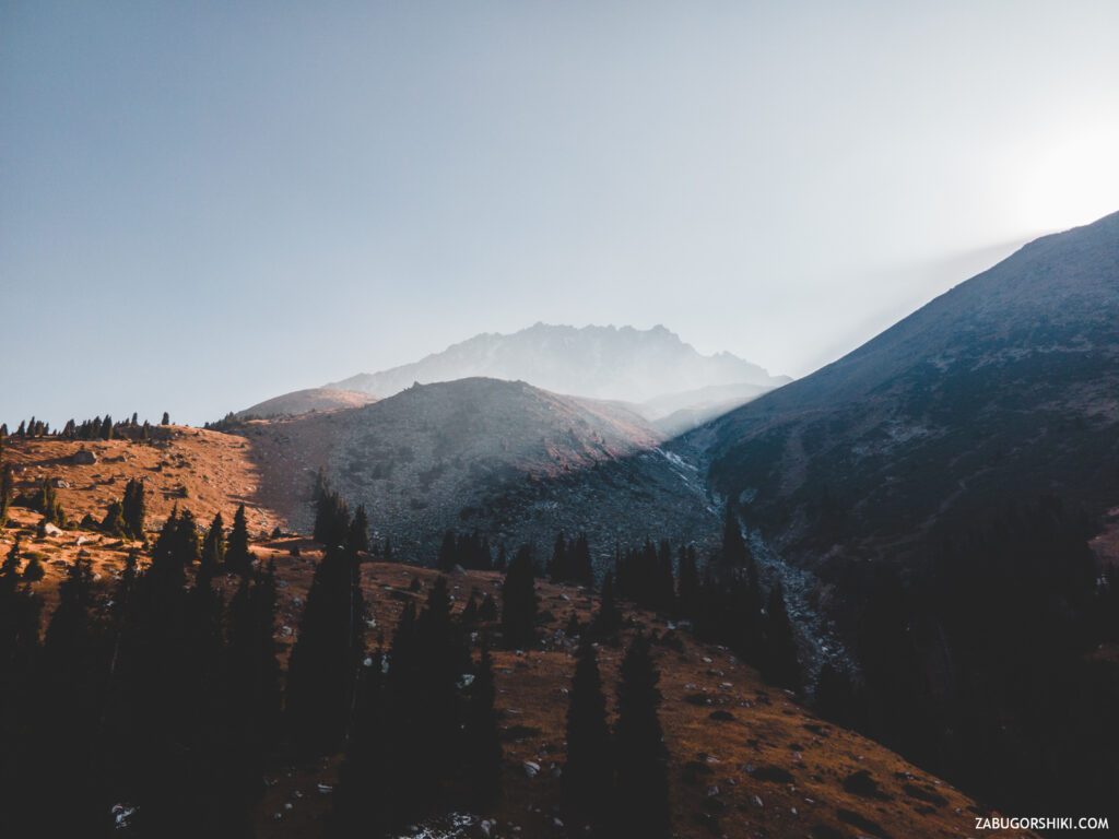
A hike to a very beautiful Prohodnoe gorge: Terra field, Alyoshkin Bridge and Maiden’s Tears waterfall.
📹 Terra Field video
🥾 How to get to the Terra Field
Since this place is not a hard-to-reach place, so we do not worry about arriving at the start place.
You can get there:
- You you own pink Mustang. Passage through the gates of the “ecopost” costs 477 tenge from each person looking for adventures in these lands. We pass the “ecopost”, at the fork we go straight into the Passage gorge (there is no need to turn in the direction of the deer).
- You can get to the intersection of Navoi streets/Al Farabi and transfer to bus #28. The cost of travel on public transport is 80tg on the yellow card, and 150tg without it. The remaining amount of the surcharge depends on how you get to the bus). And calmly we reach the final one, and then we stomp up a couple of kilometers more.
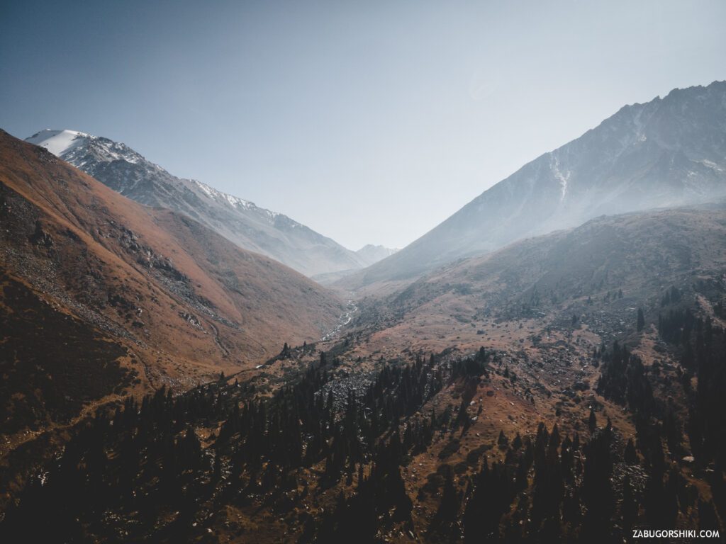
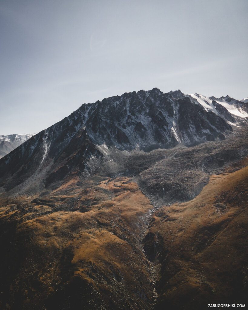
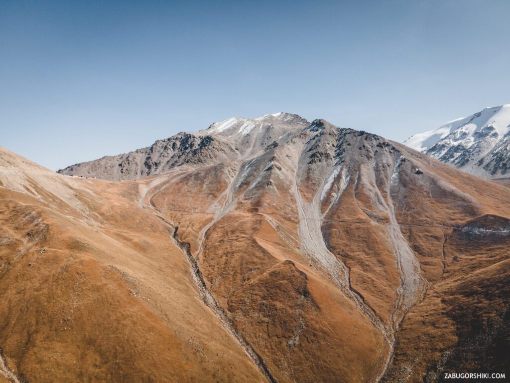
⛰️ Route description
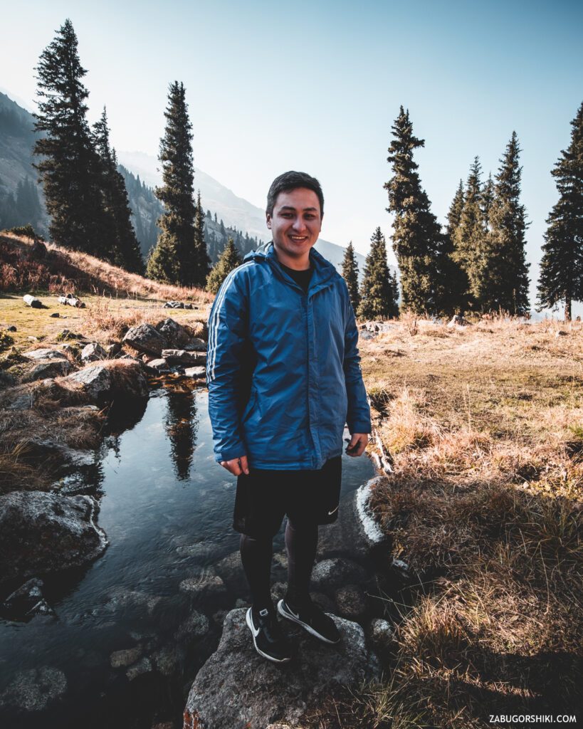
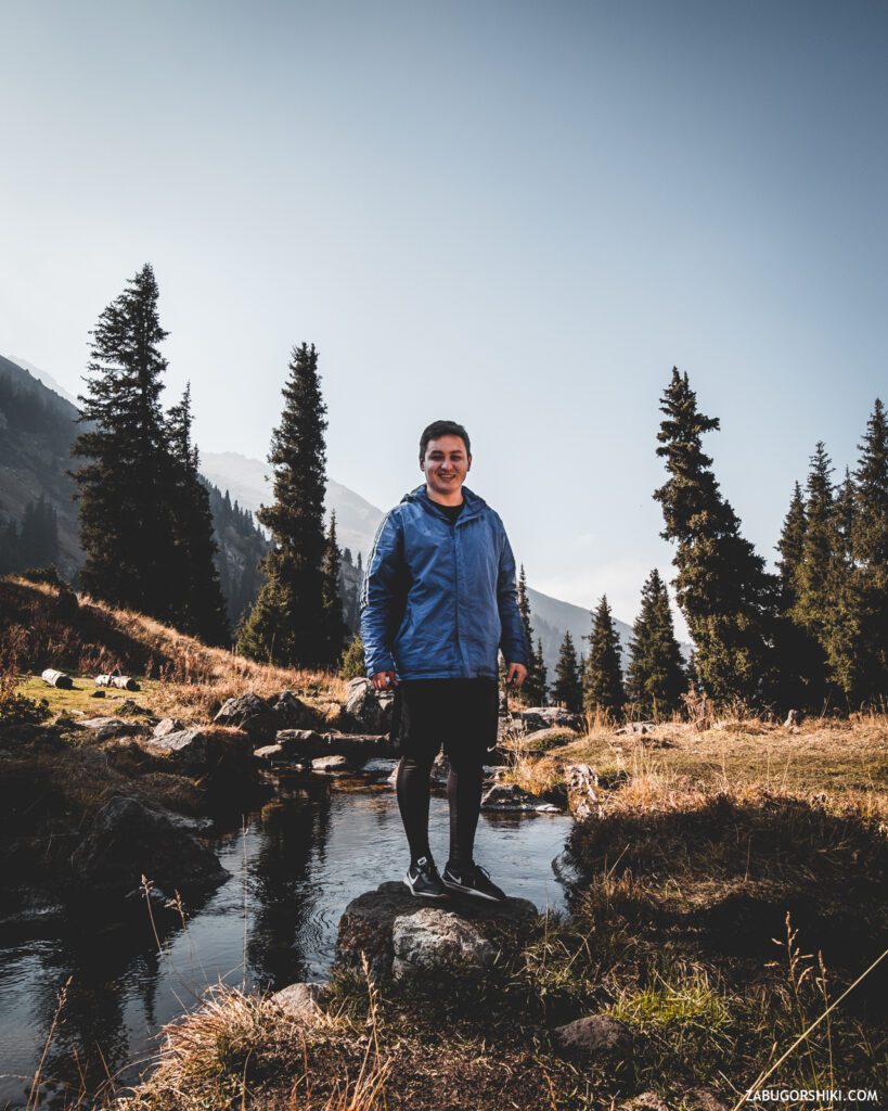
Having reached the cherished parking lot in the Passage Gorge, it is finally checked for readiness and LET’s GO.
⛳ Start
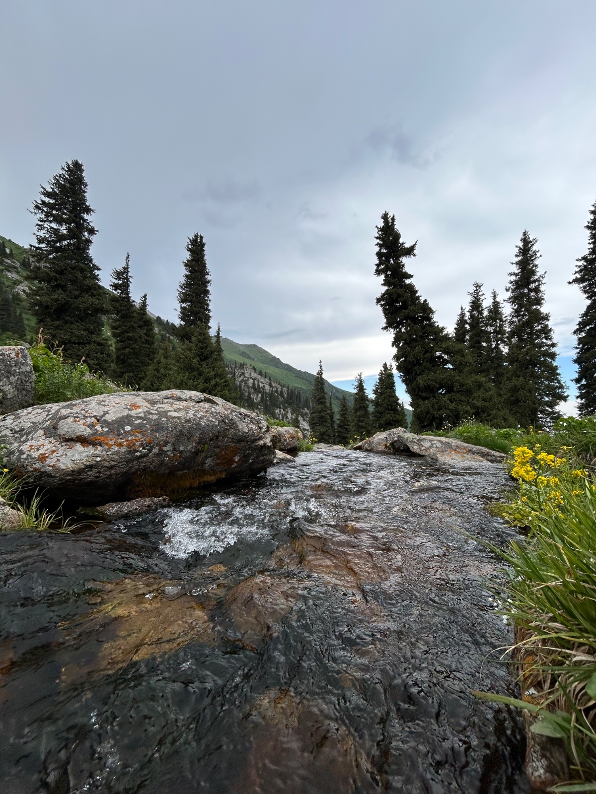
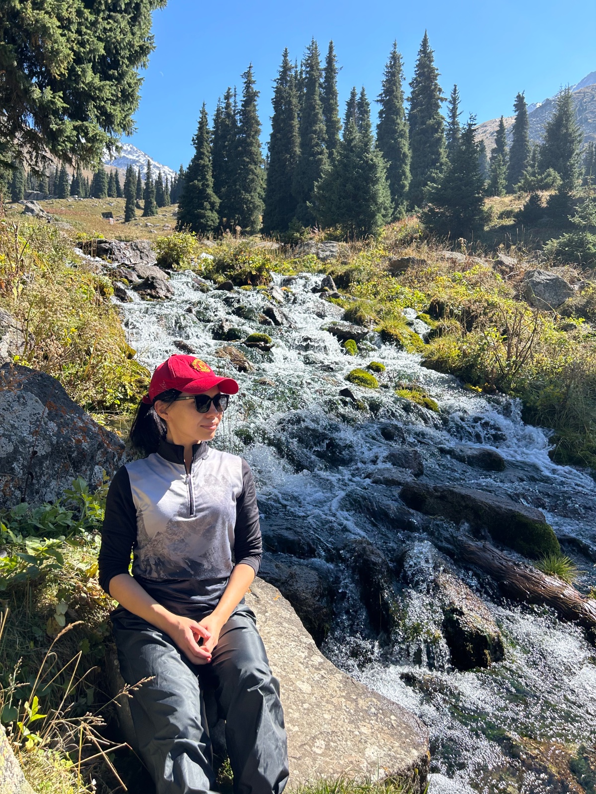
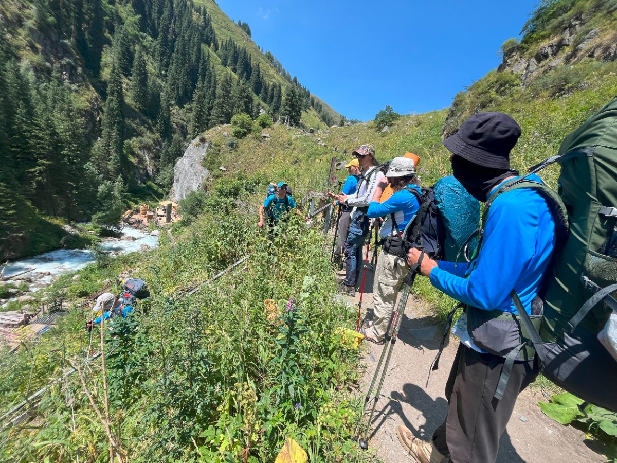
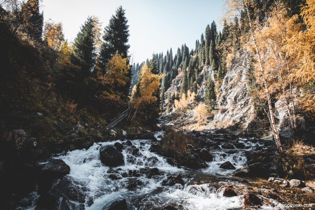
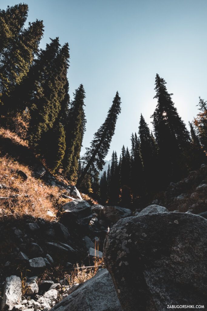
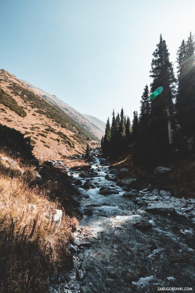
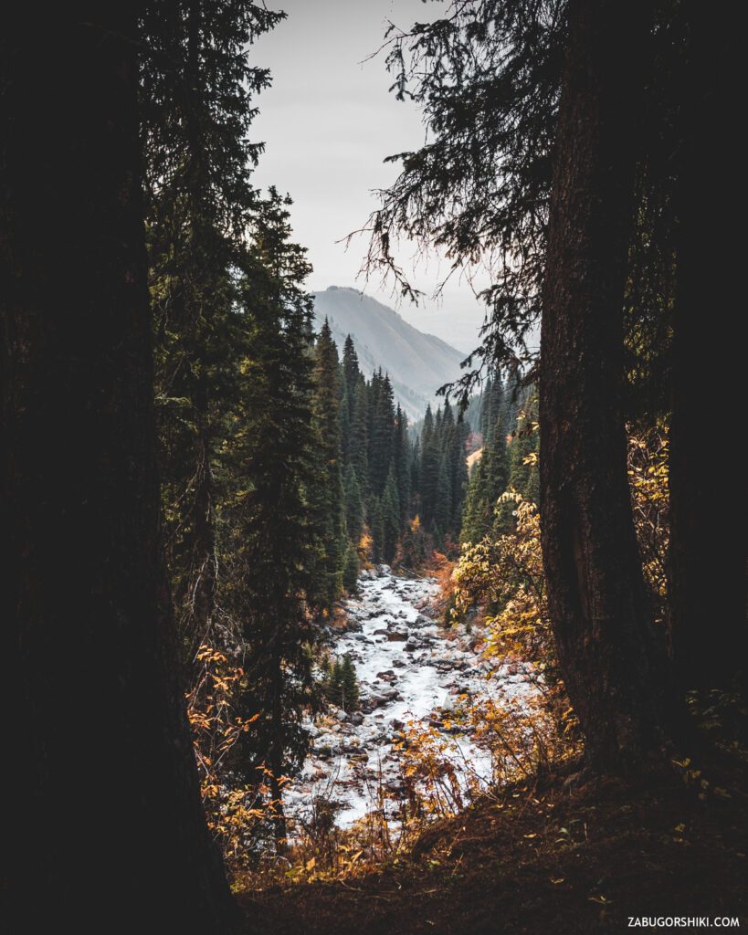
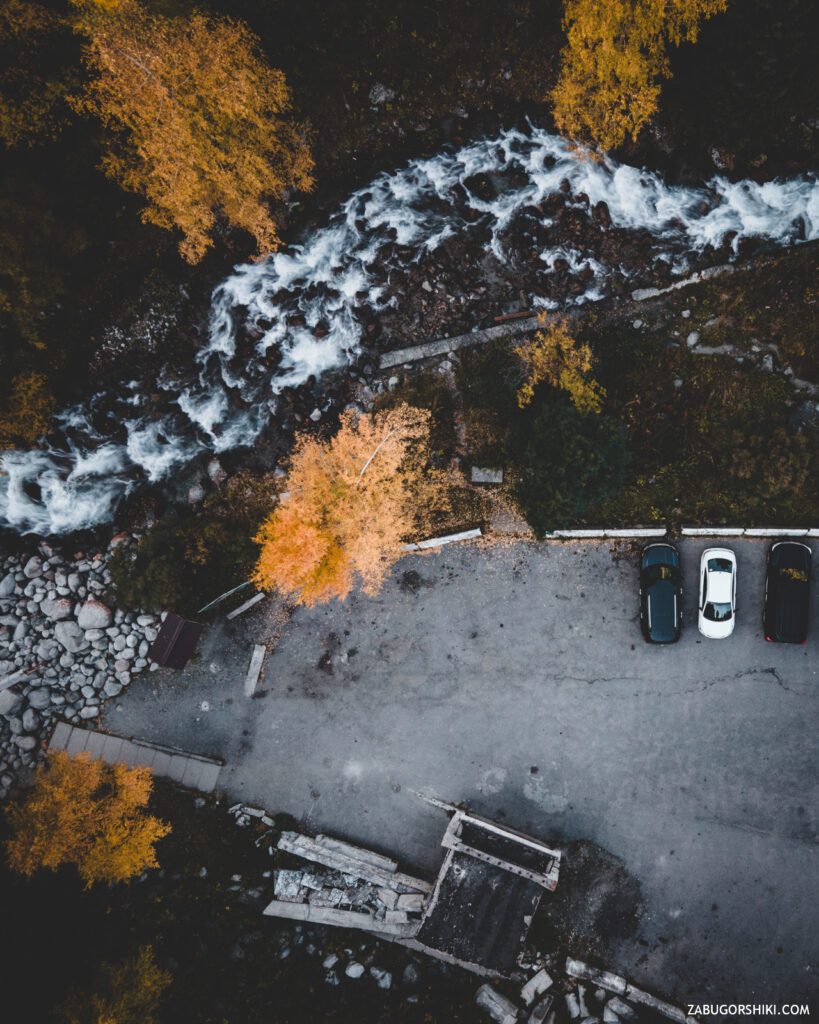
The beginning of the trail is not the most comfortable – large boulders that you need to walk with caution, especially if they are wet. And then it’s just nice to get to the thermal spring itself – good bridges over an icy Passing river, a trampled path and, as always, a lot of people. It takes about 20 minutes to walk to the spring, and when you approach it, you will feel a light “aroma of the bowels of the earth”. The territory is landscaped – several fonts with warm water, one with a river and a ladder to the river itself, for fans of “pomorzhev”. A large gazebo will protect you from the weather, and for those who like to sunbathe there is a cascade of places for gatherings. There are also changing rooms for added comfort.
We go through all this “sanatorium” further, climb the stairs to the top and get to the sports, so to speak, “workout” area.
We climb higher and there are 2 ways here:
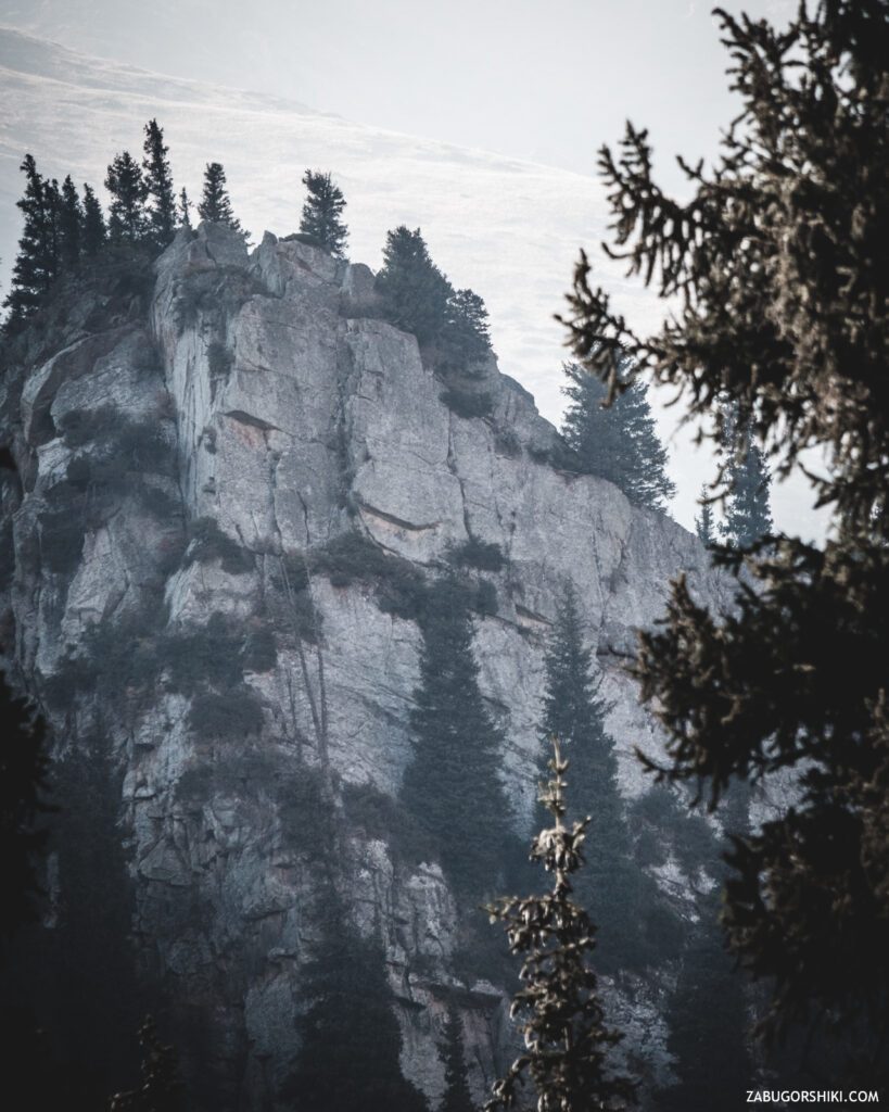
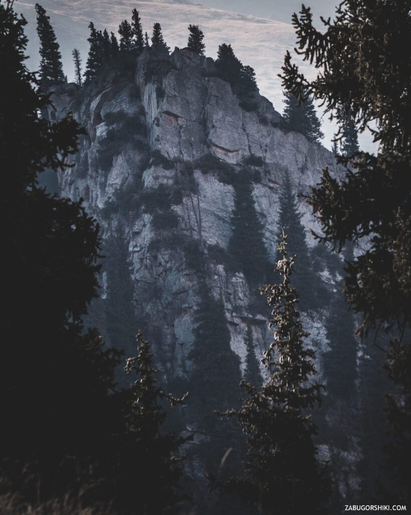
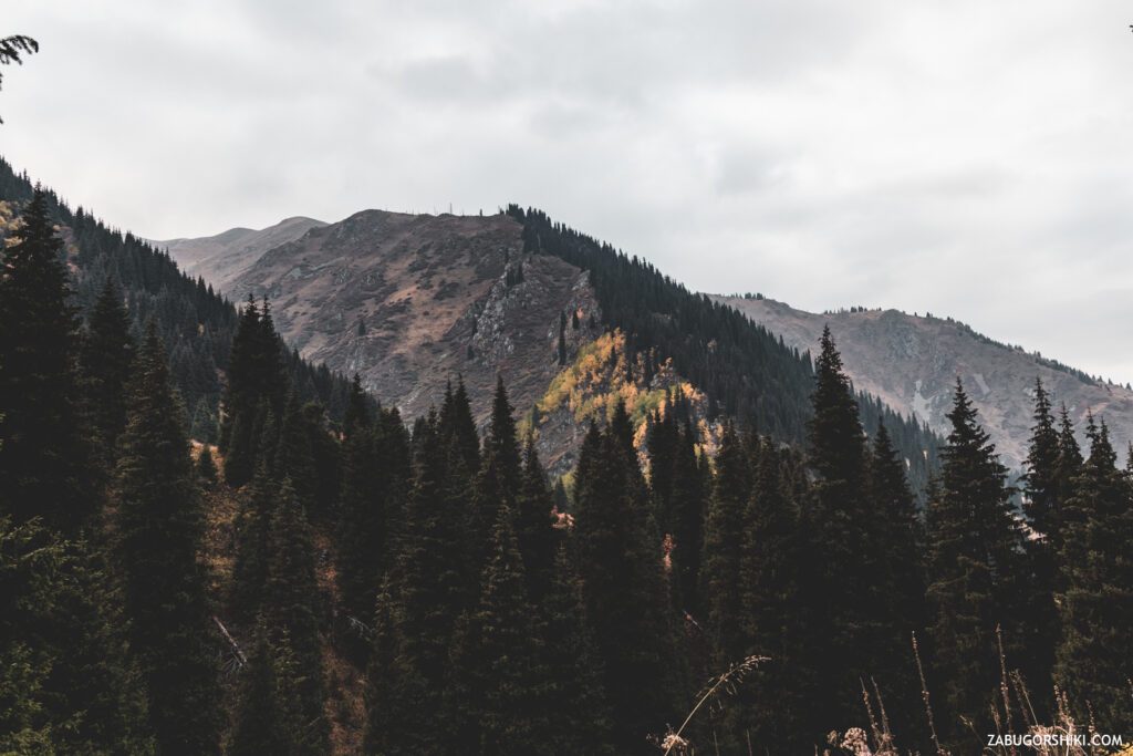
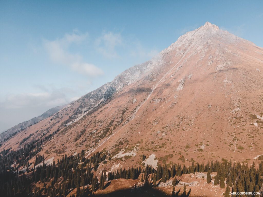
- To the left-the path will lead to the ancient ruins of a once functioning spring. From the site, more like a location from our favorite “Lord of the Rings”, there is a stunning view of the mountains, the river and part of the gorge.
- To the right – this is exactly the option we need, although one does not interfere with the other at all.
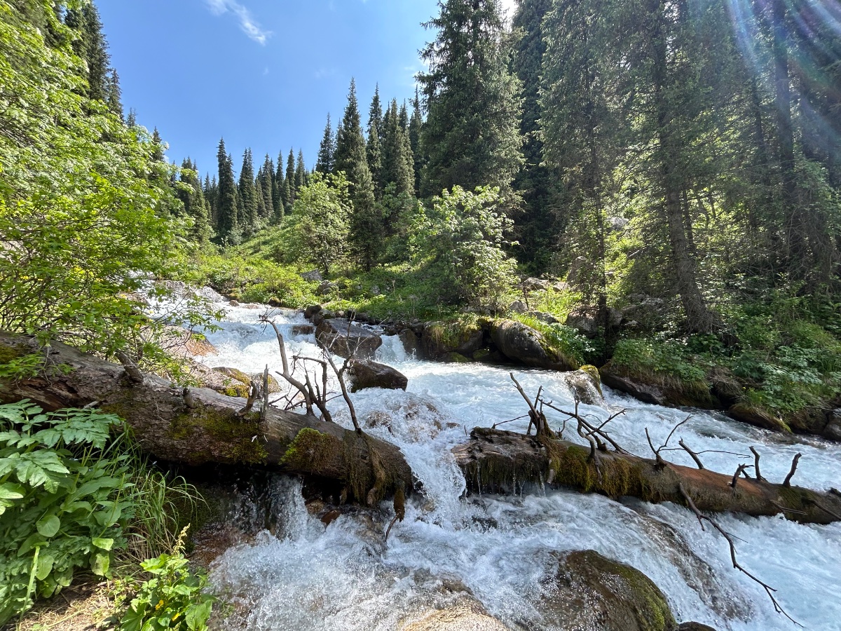
After visiting the “side quest”, we go along the path towards the unknown. The path is not quite, but still narrow, and with a large crowd of people it becomes a little dangerous. Quite slowly and in just 5 minutes we reach the waterfall “Maiden’s tears”along it. Everything is also perfectly equipped here. There is a whole playground with benches, from which it is convenient to watch the streams of “tears of happiness”.
A little of this and that.
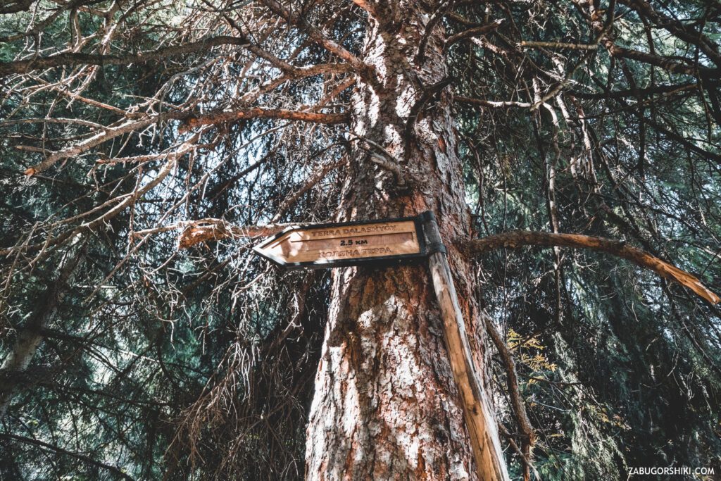
“Terra” is such an inappropriate word in translation from Latin – “Earth”. If you, like us, do not want to jostle on the trail with a large crowd of onlookers who have arrived, then you will have to get up on the route quite early. By the way, it is not so easy to go far and not so easy.
We return to ourselves.
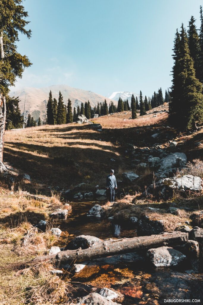
On the right path, we reach a stream that flows neatly across the path and then again we need to make a choice between two extensions of the trail:
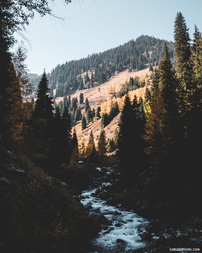
- You can go further along the cool river, climb a steep slope a little later, and then go through a beautiful clearing to the forest and climb it again to the cherished path.
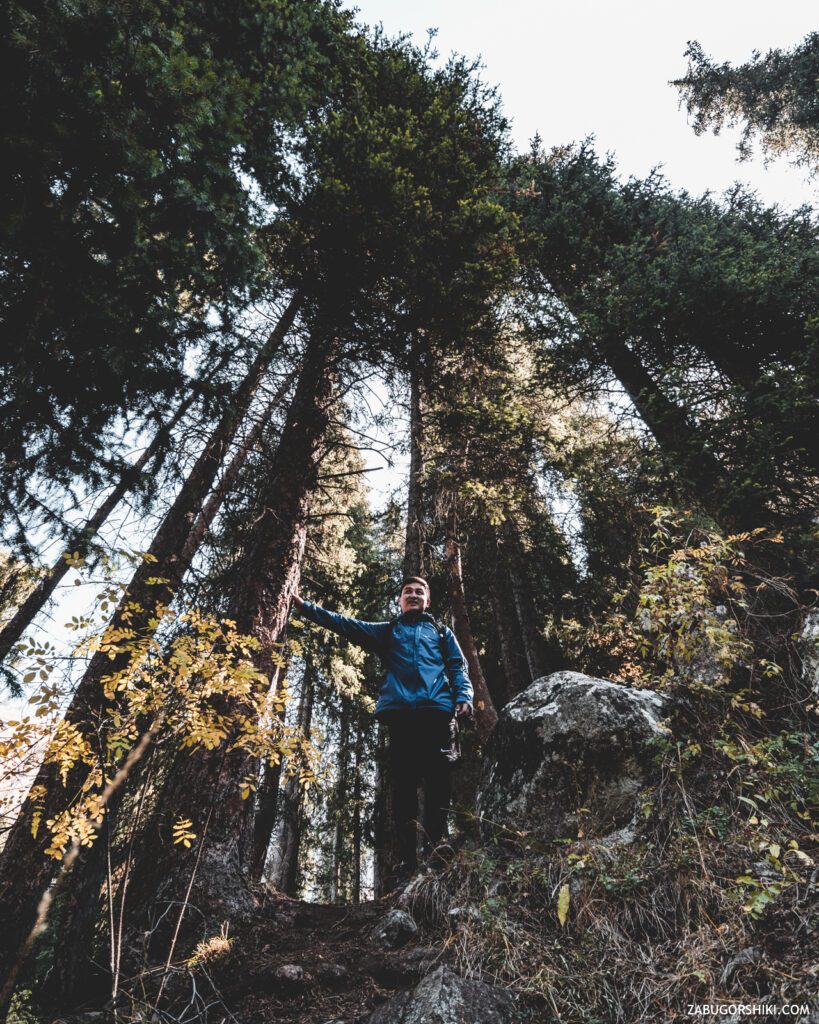
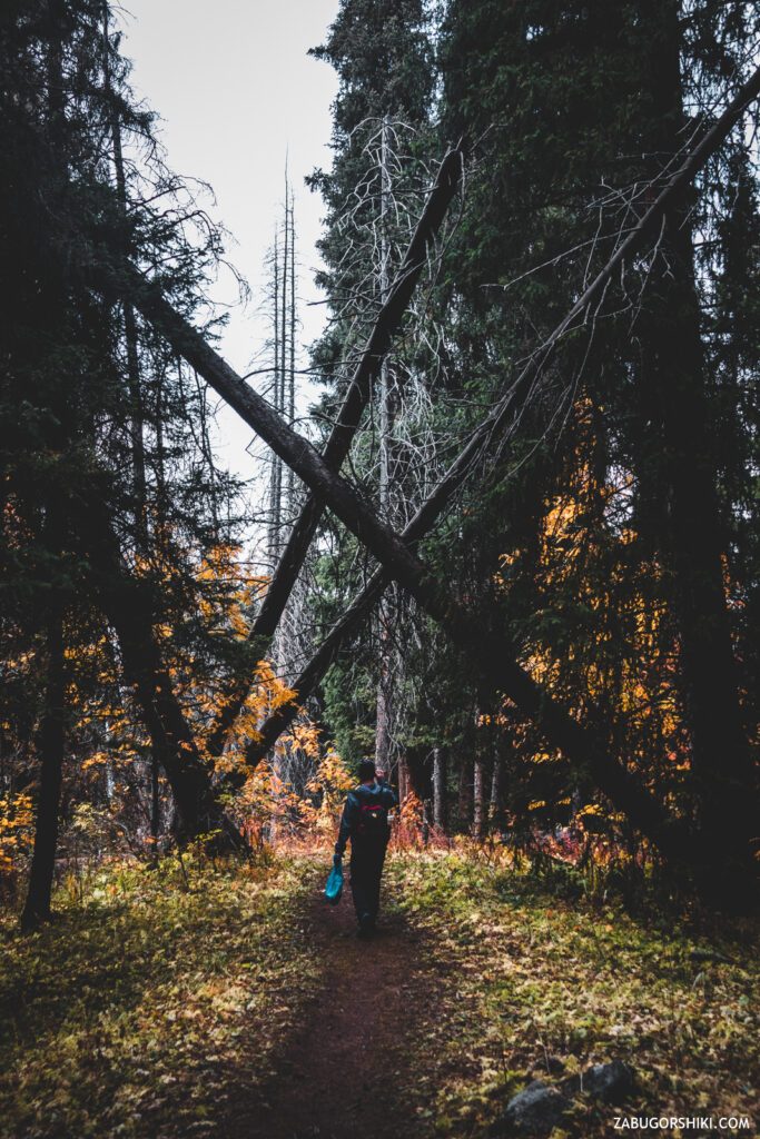
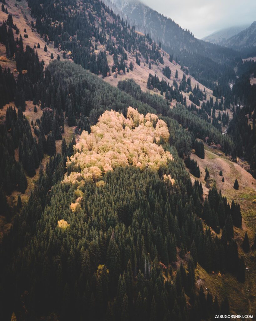
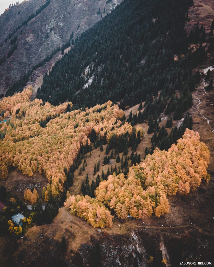
- Just beyond the stream, along the rocky stones, between the mighty firs, go to the forest path. First we go along a soft litter in a coniferous forest, then we get into a fabulous birch grove, and only then we go out on the cherished path.
I will say right away – any option will fully fill you with the beauties of this day. We have passed both options and are still arguing “which one is better”. You can go through one and return by another)
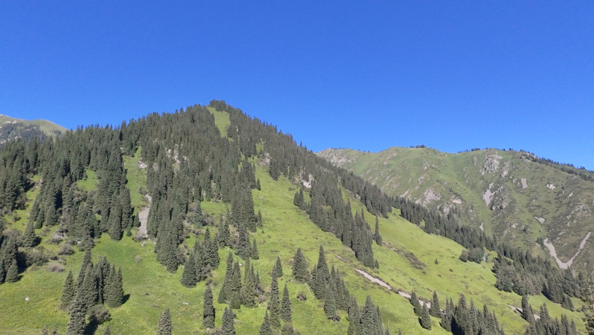
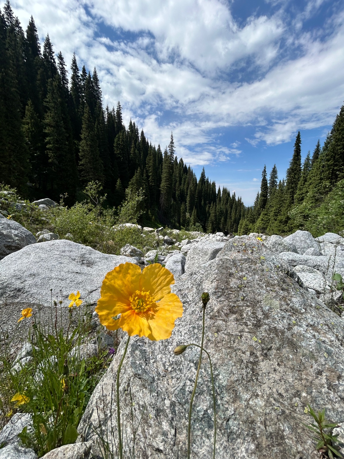
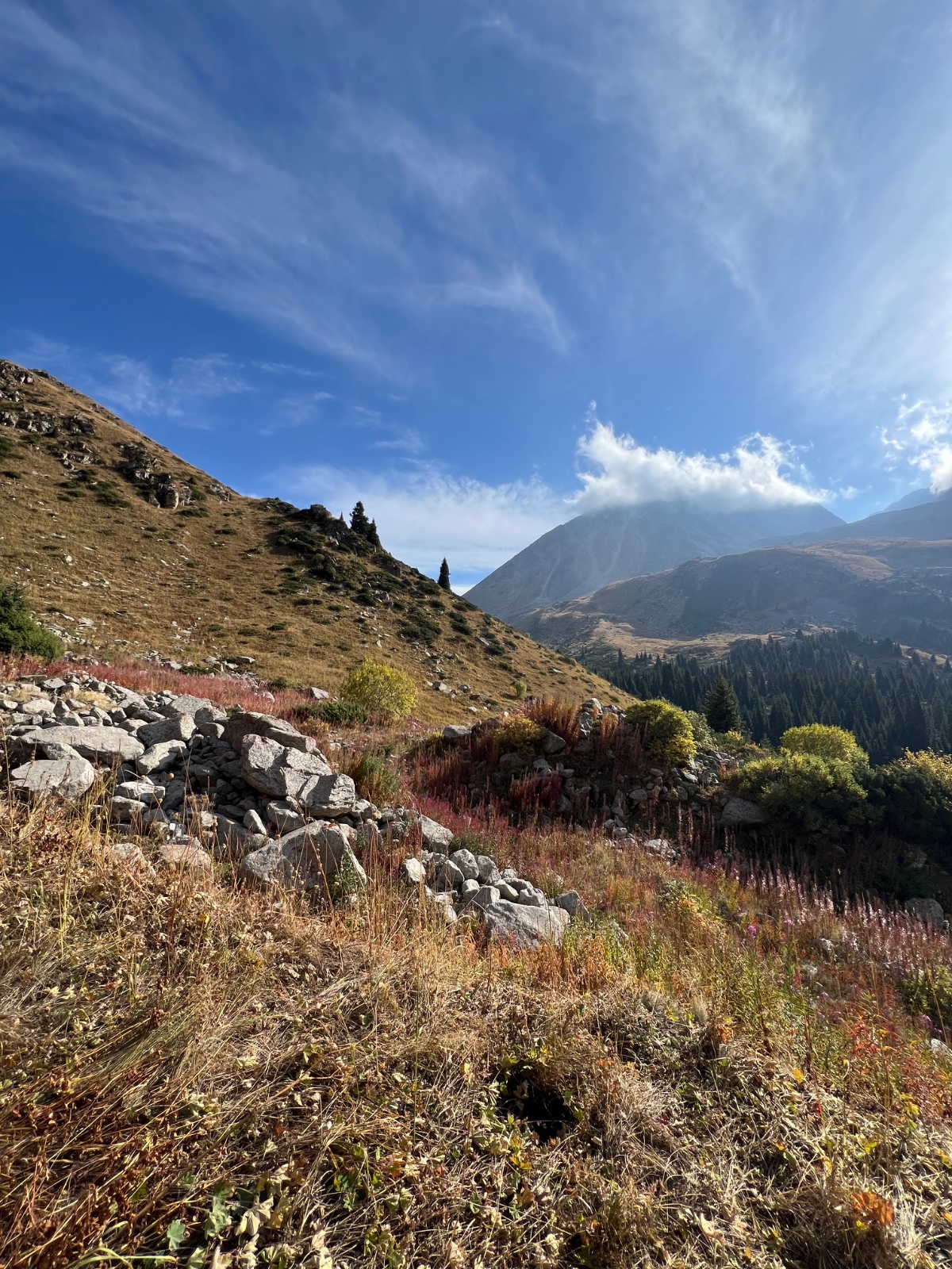
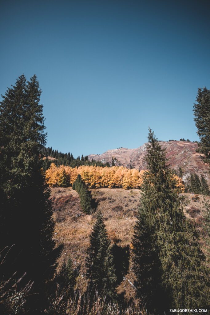
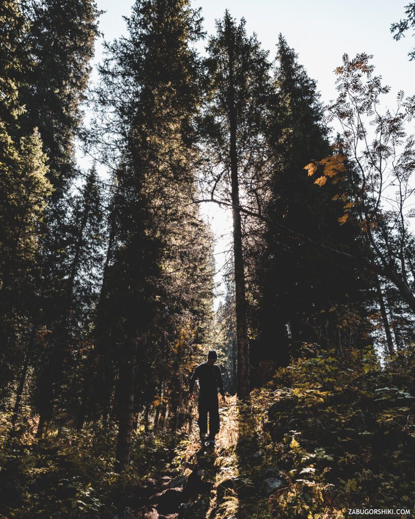
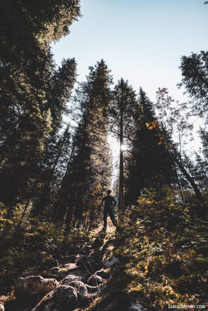
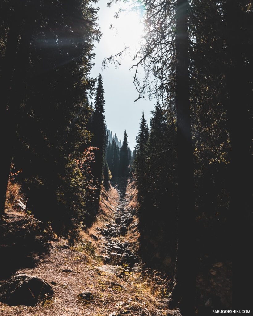
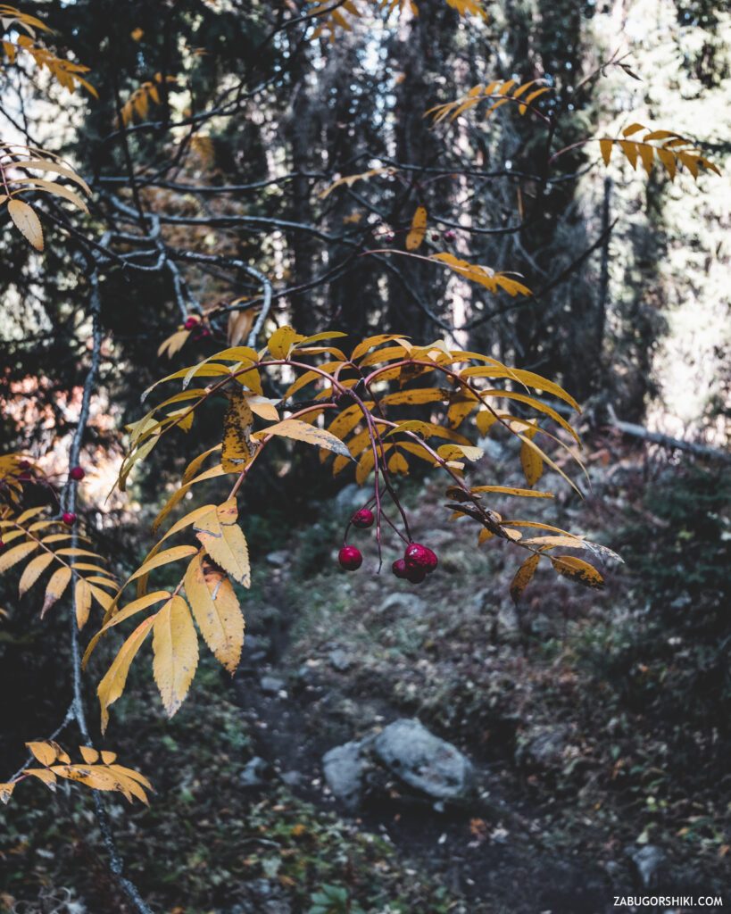
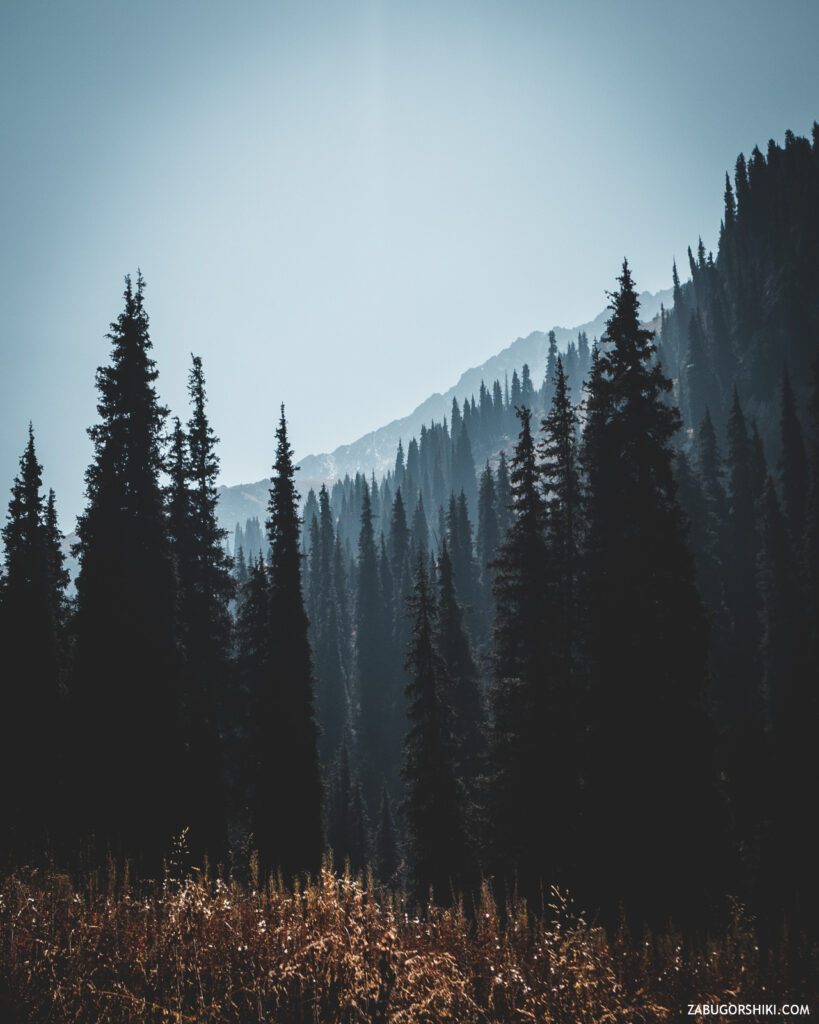
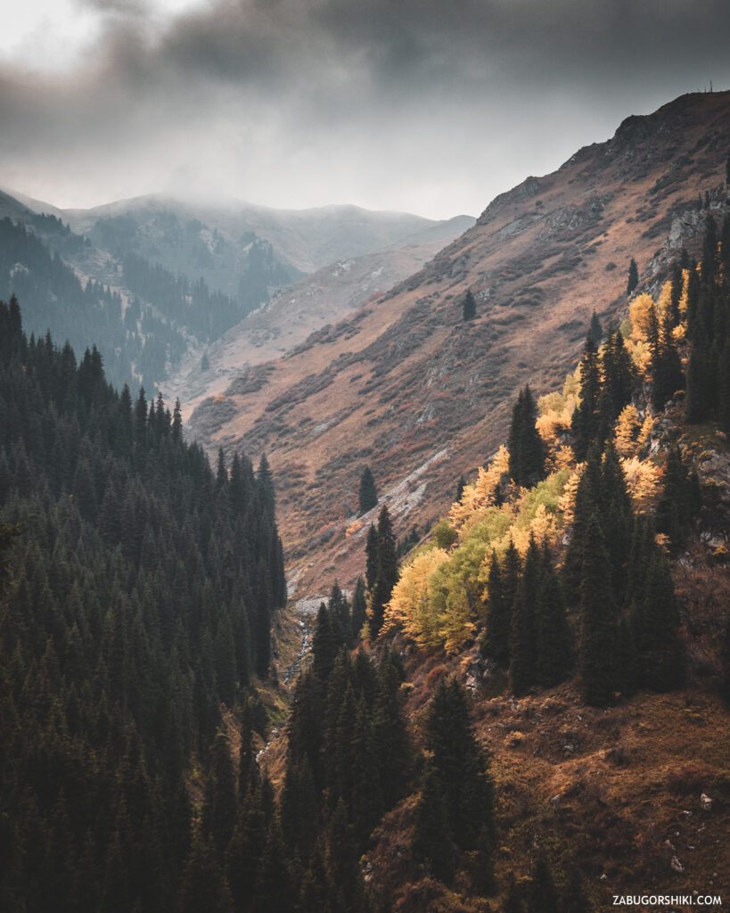
We continue to go. The path will be winding, but with many places to relax and a whole “sea” of raspberry bushes on the slopes of the mountains (you can get stuck here for a long time if you love raspberries as much as Renat).
In some places, the sun bakes so that you want to swim in the river, and in the forest there is a cool breeze that you want to sit down and drink a cup of warming Grand Cru tea. There are signs and places to relax along the entire trail.
The paths diverge from time to time, but as in all films with a happy ending, they still converge. It remains only to listen to your heart and go. But be sure to study the route in advance!!! Getting lost in the mountains does not lead to anything good!
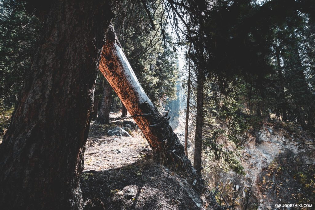
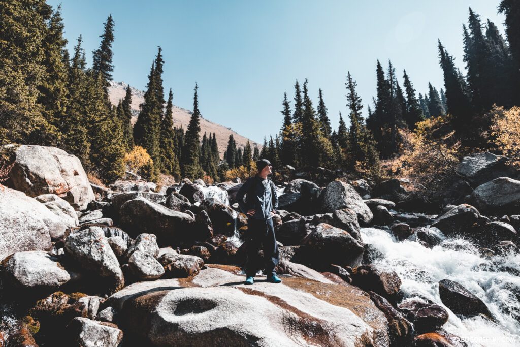
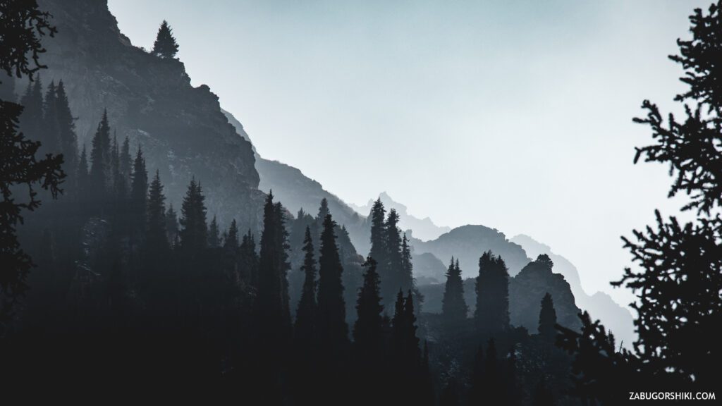
Once again, wandering along the path in the forest, we suddenly find ourselves near a very unsafe cliff, more like a dried-up riverbed or a washout after a powerful mudslide. Be careful and look at your feet. The trail passes to the left, and we are moving there. In the end, you will still have to go to the other side, going down a loose slope, stepping on loose stones and following the inviting adventures.
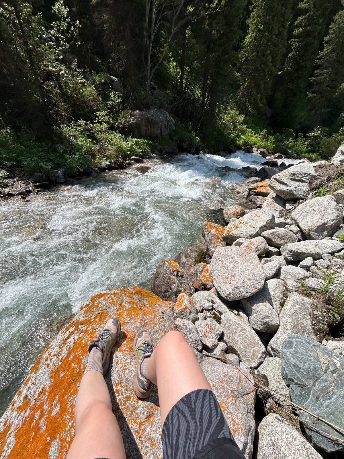
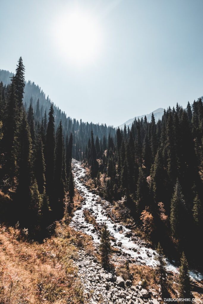
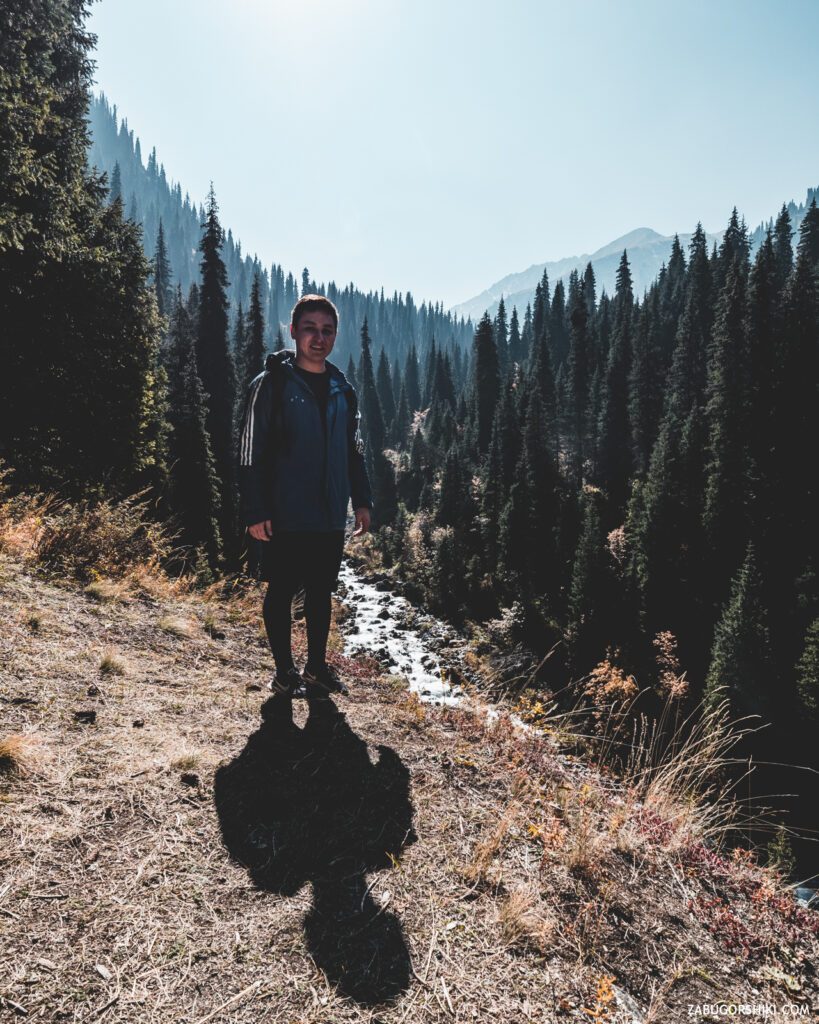
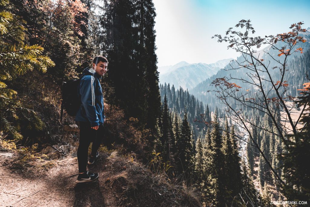
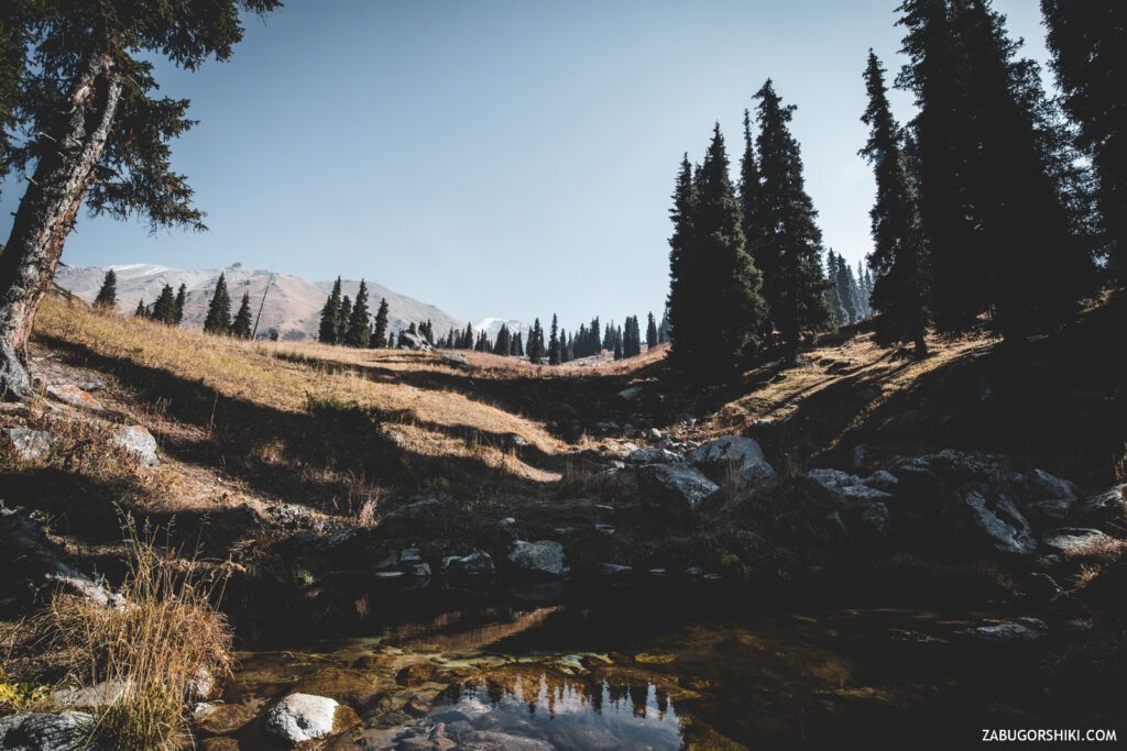
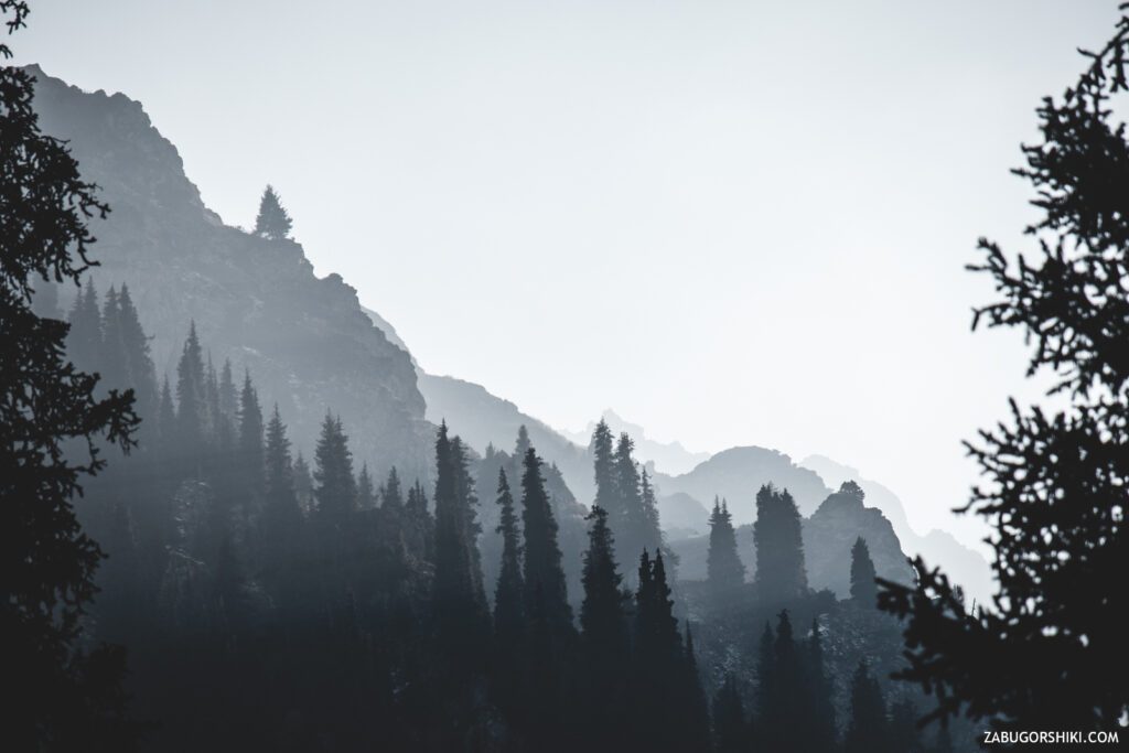
After crossing the” river ” fording and climbing up a little, we go out to another place of rest, from which there is a great view of the river, gorge and mountains. Here you can also take a short break, look around and “rearrange your legs” again.
Wrong turn.
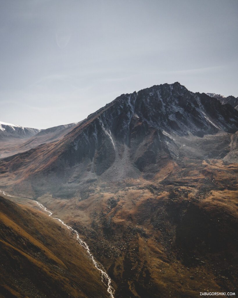
Each gorge in our wonderful town has its own “charisma, magic and power”. One can be” from head to toe ” covered with stones, another is incredibly green, and in the third there are huge trees. But in each of these areas, it is necessary to respect the “local” laws of nature. It is not necessary to build bonfires in any convenient places, leave garbage, interfere with the life of flora and fauna. There are not so many places where the hand of power has not “reached”. And until everything is completely built up, let’s admire it quietly and peacefully.
Here is the path.
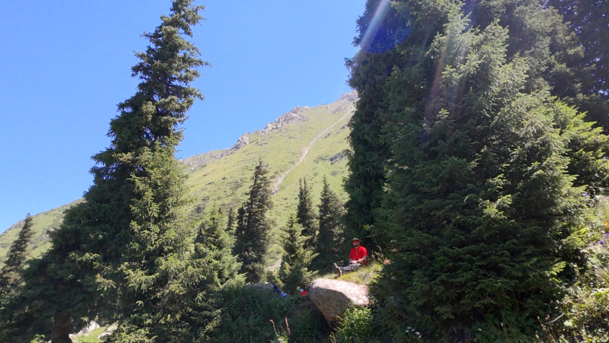
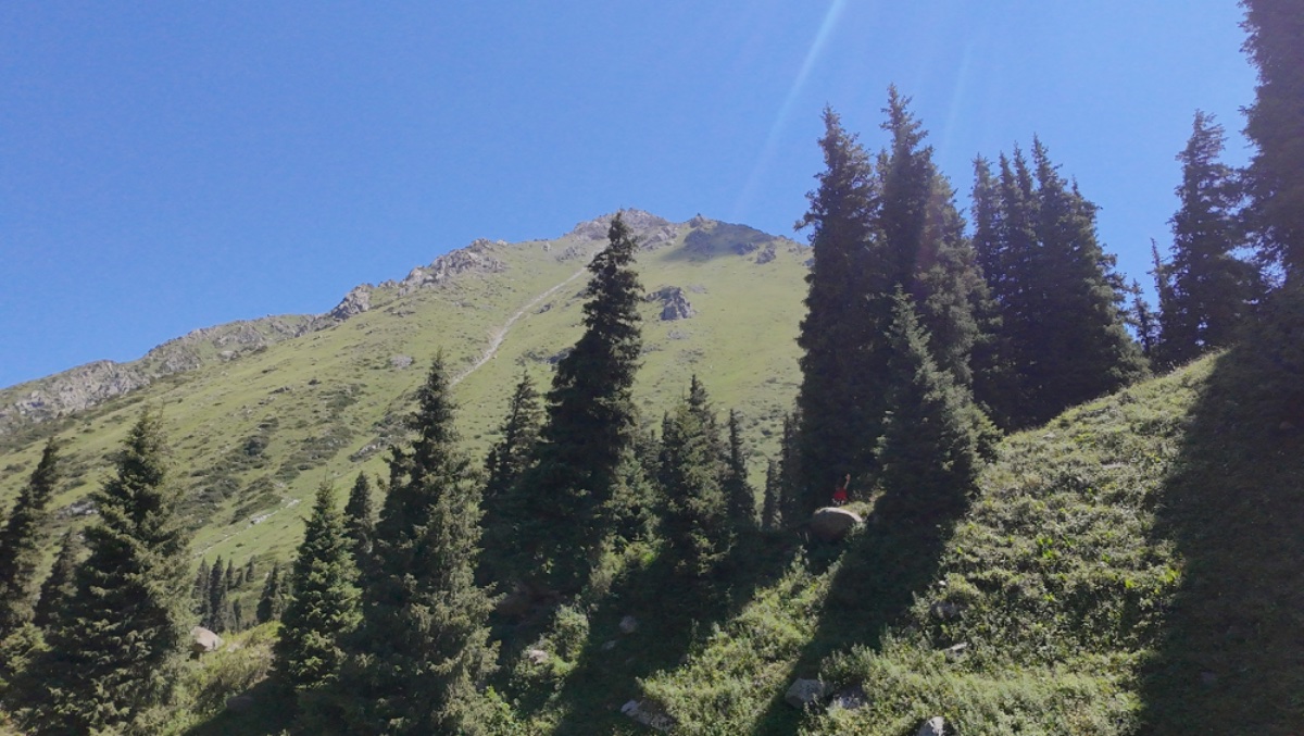
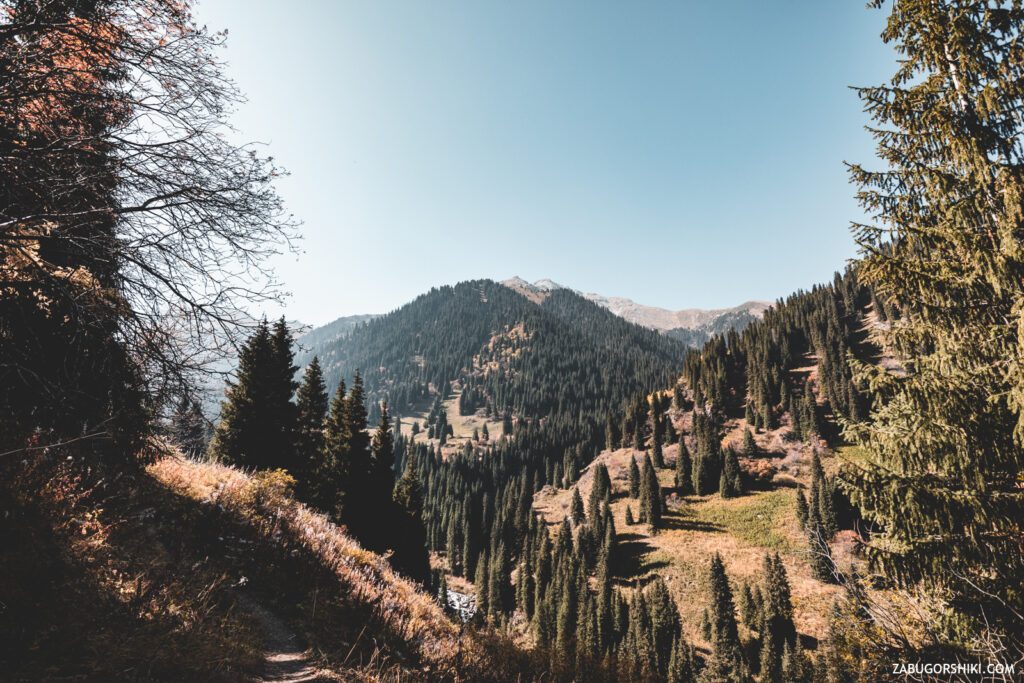
We continue the way up! The higher we climb, the better the views become. We have reached a very dangerous place where the trail runs along a steep and terrible cliff. Yes, there’s only a meter and a half to go, but it’s scary) Once the path ran straight, but the landslide decided to do everything its own way. We go around the “hole” and get a little closer to the goal.
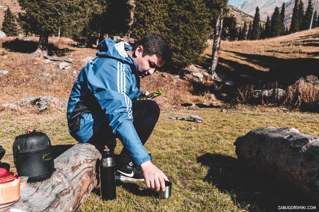
Two hours later, we were washed up with some food. Right on the path with nowhere to turn off. We decide to rid the world of two bananas… But I forgot them in the car when I was moving things))) We had a snack with nuts, dates and other goodies.
Fast energy on the ascent uphill gives a lot of strength and we even faster flooded to the clearing.
In 3 hours, we managed to walk 6.8 kilometers. The pace is absolutely unhurried. It takes a lot of time to capture the material. But it doesn’t matter.
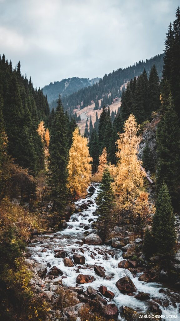
On the other side of the river, the first signs of the onset of cold weather began to appear – snow.
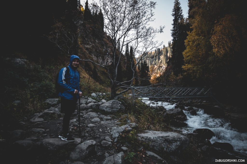
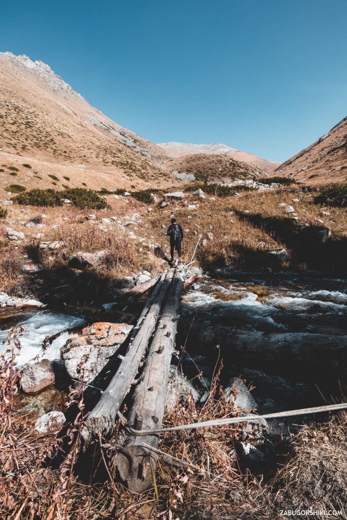
The last jerks and finally we get to the final bridge in front of the clearing. It is difficult to call it a bridge because two slippery pipes and one wet tree trunk do not even look like a bridge).
We carefully move to the other side. One awkward movement and it will turn out like in the game “Slides-Stairs” – it will wash away to the very beginning of the adventure.
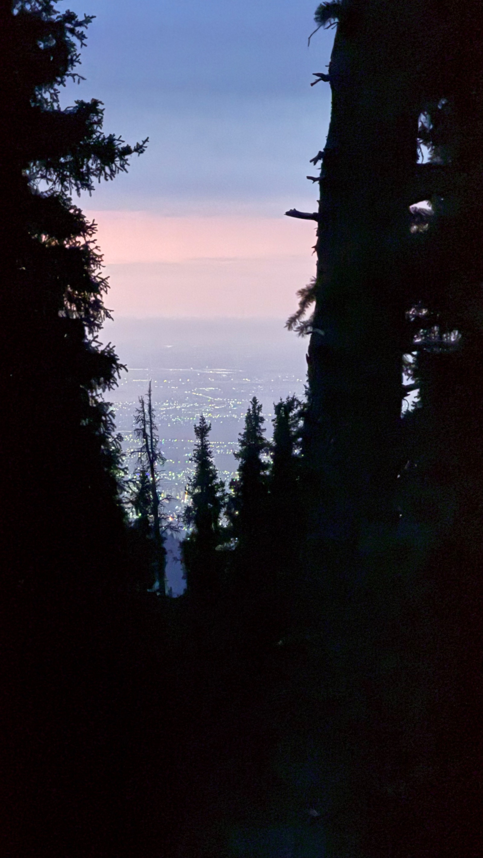
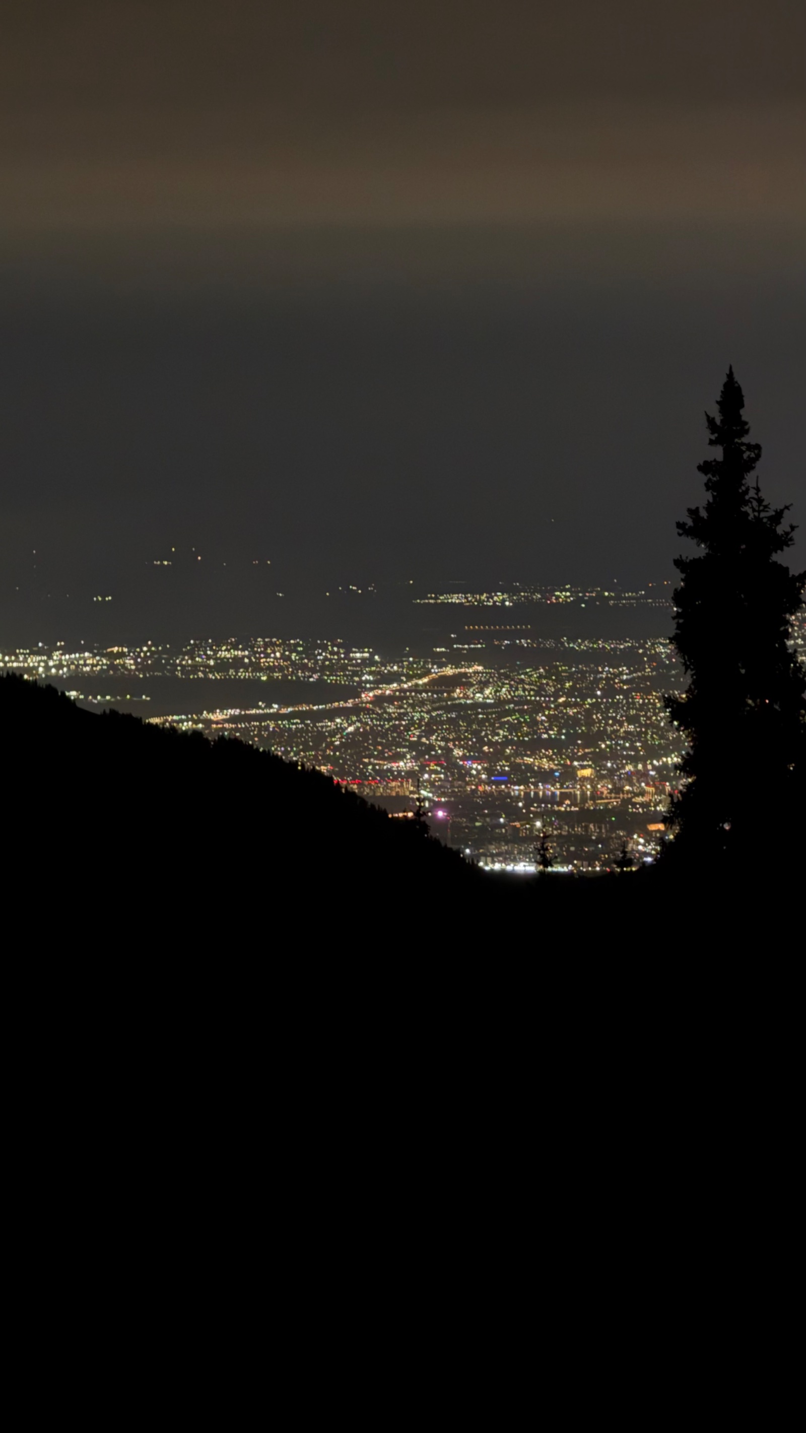
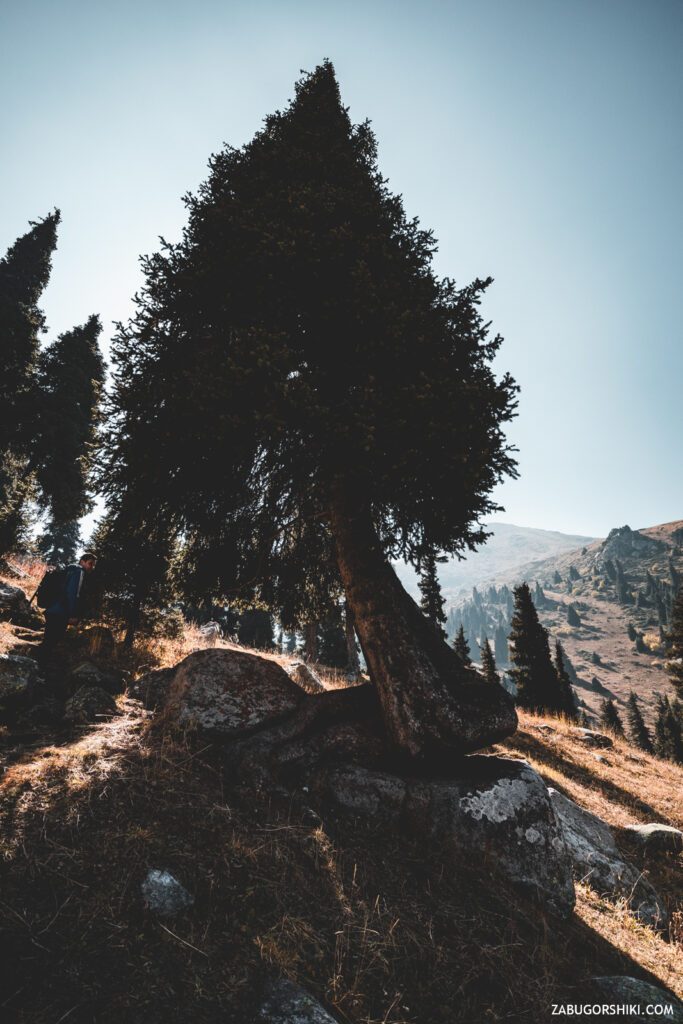
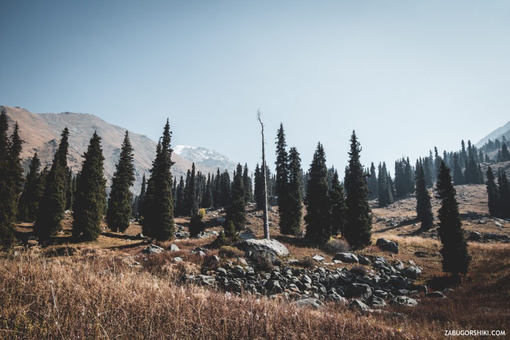
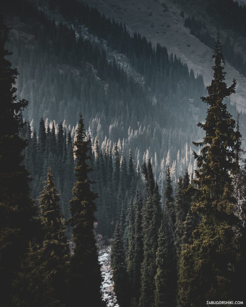
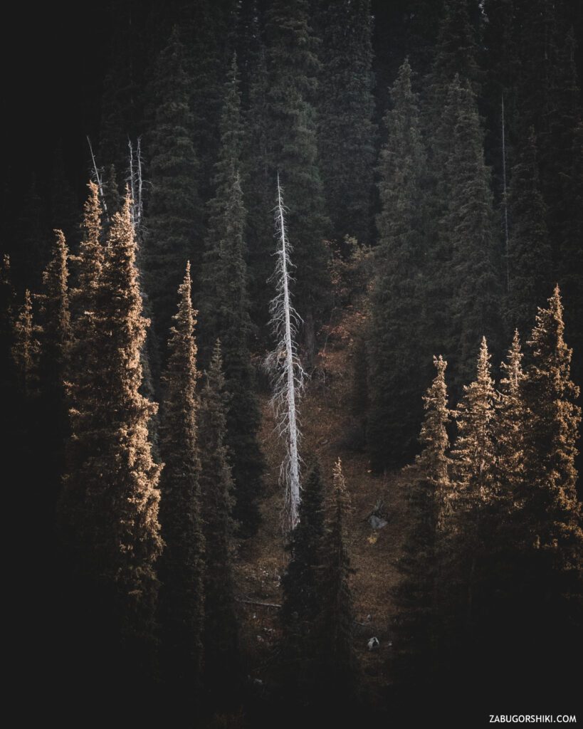
Another climb. Hopefully the last one. While stomping down the slope, we saw a tree of unusual shape and sprouted between the trees. And looking back, it became clear that the suffocating smog, from which many are fleeing to the mountains, is also here. A heavy gray mass of not air is slowly but surely rising up the gorge.
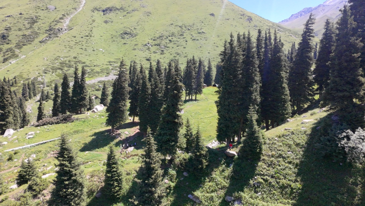
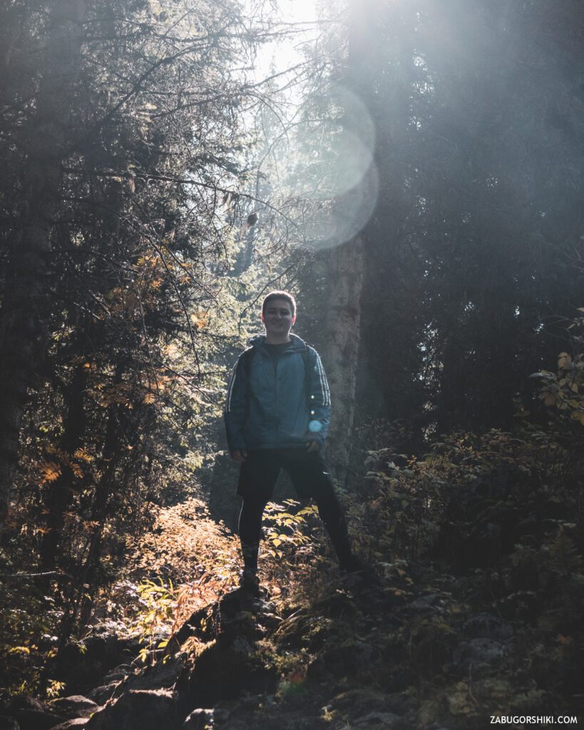
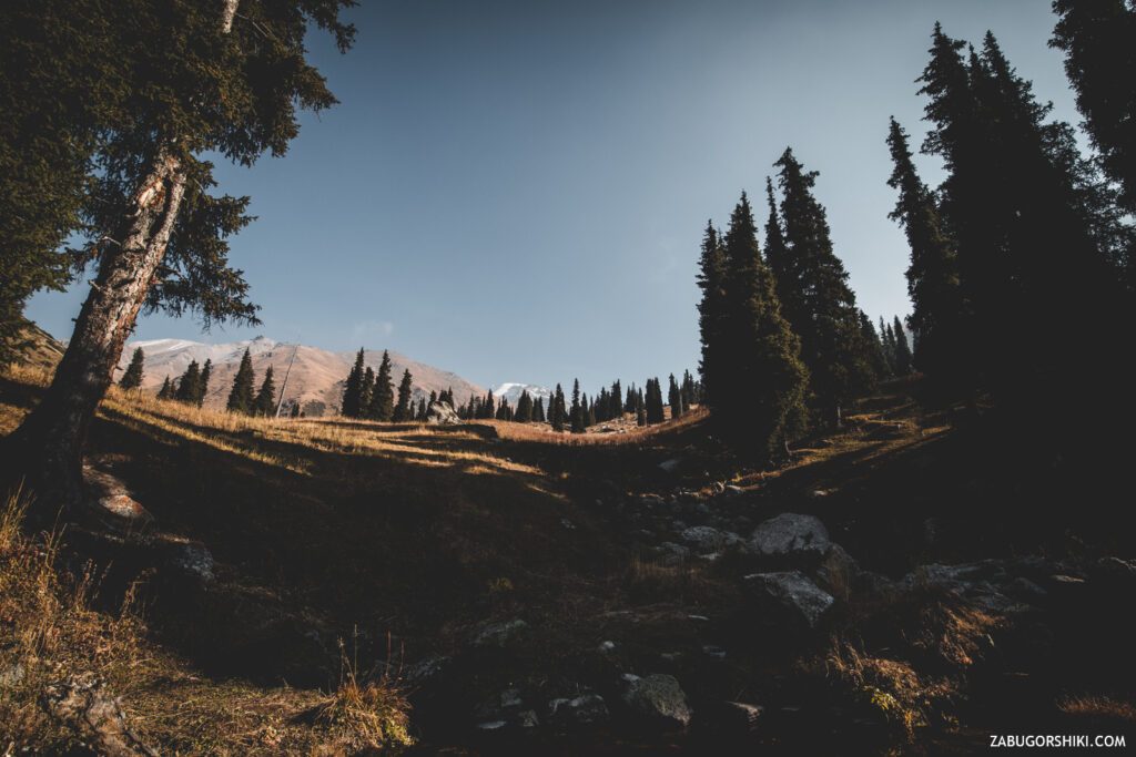
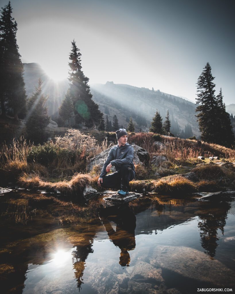
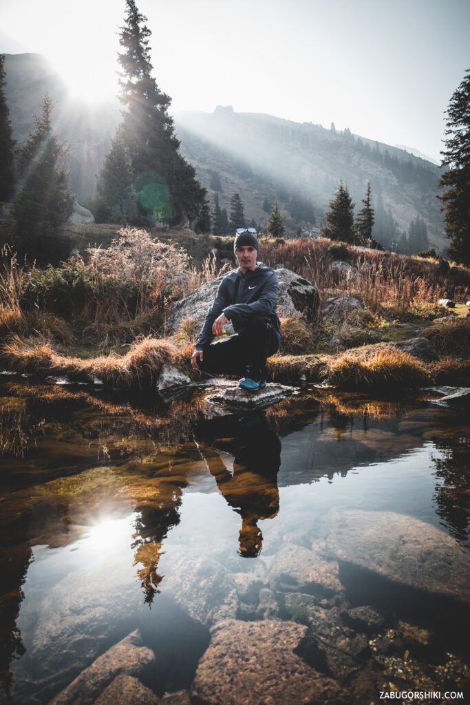
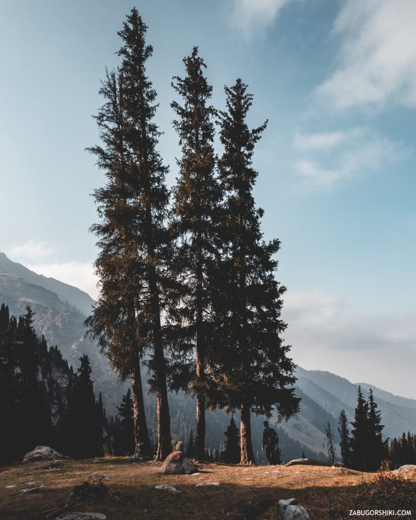
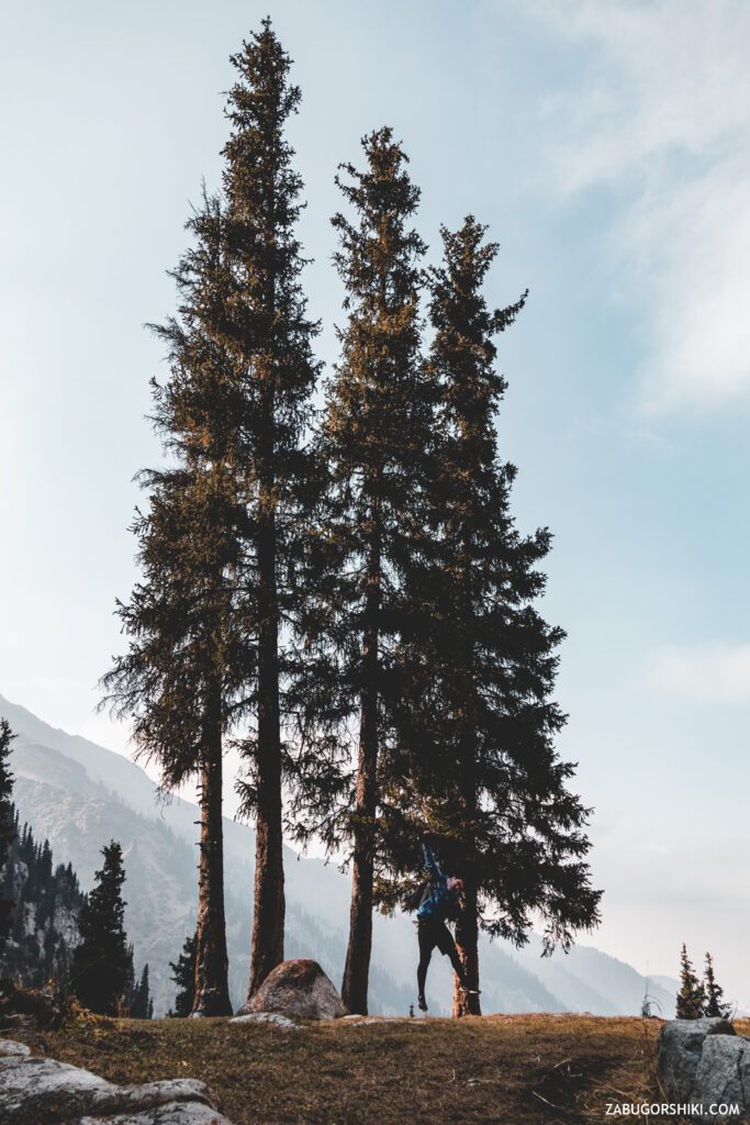
10 minutes of puffing and we came out on an incredibly smooth, beautiful clearing. WE’RE ON TERRA.
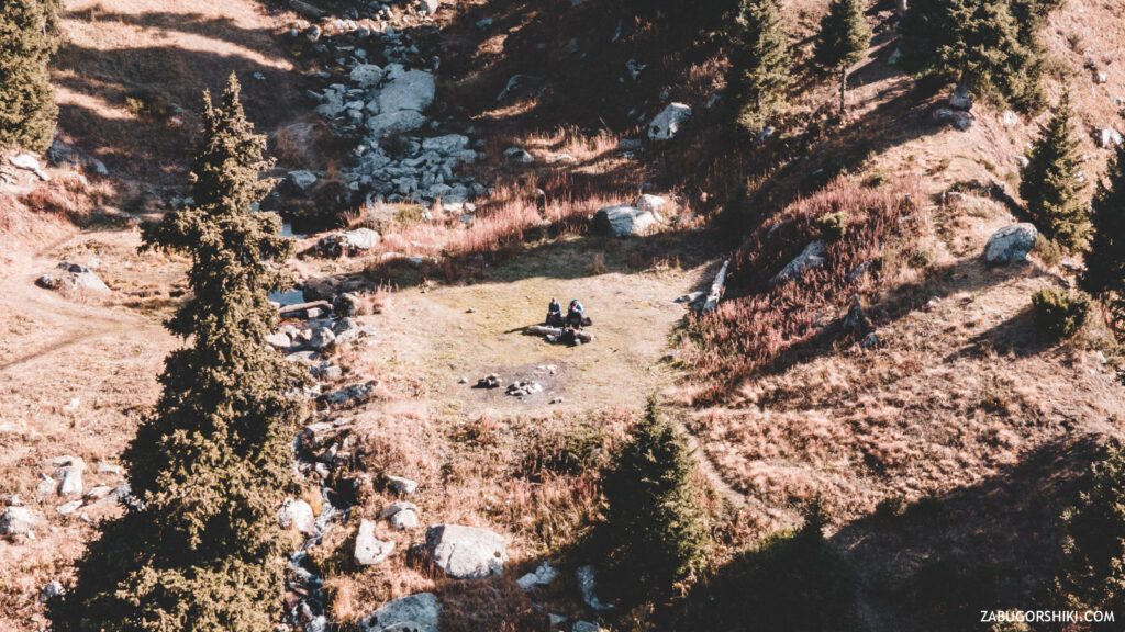
A small stream, as it turned out later, bearing the name “Witch”, divides the clearing into two halves. On one side is a very convenient place for lunch, on the other is a great place for “new avatars”. I can’t describe it so beautifully as it all really is. Because it is impossible to describe the emotions that you experience when coming to this or that long-awaited goal. Very mixed. I am happy with the achievement and what I saw, but at the same time I am a little sad because of the imminent end of the trip.
We did not stop at the clearing itself, as there were a lot of people on it. We decided to continue our journey and reach the “Alyoshkin Bridge”. As if we didn’t have enough bridges today.
From the clearing to the bridge, it takes about 15 minutes to walk along a well-trodden and obvious path. On this offer, our adequacy “left the chat” and turned the wrong way. We went out through the most powerful kushars and thickets to the bubbling river and along it we got to the right place for 40 minutes))))
With grief, we got there in half. How to describe the place to you… It sounds much more mysterious than it looks. This crossing, and there is no other way to call it, across the river has a very tragic history and is named after a guy who fell off this bridge into the river and unfortunately he could not be saved (this is in short).
After taking a couple more pictures, after sitting and thinking about life, we decide to return to Terra and have lunch there.
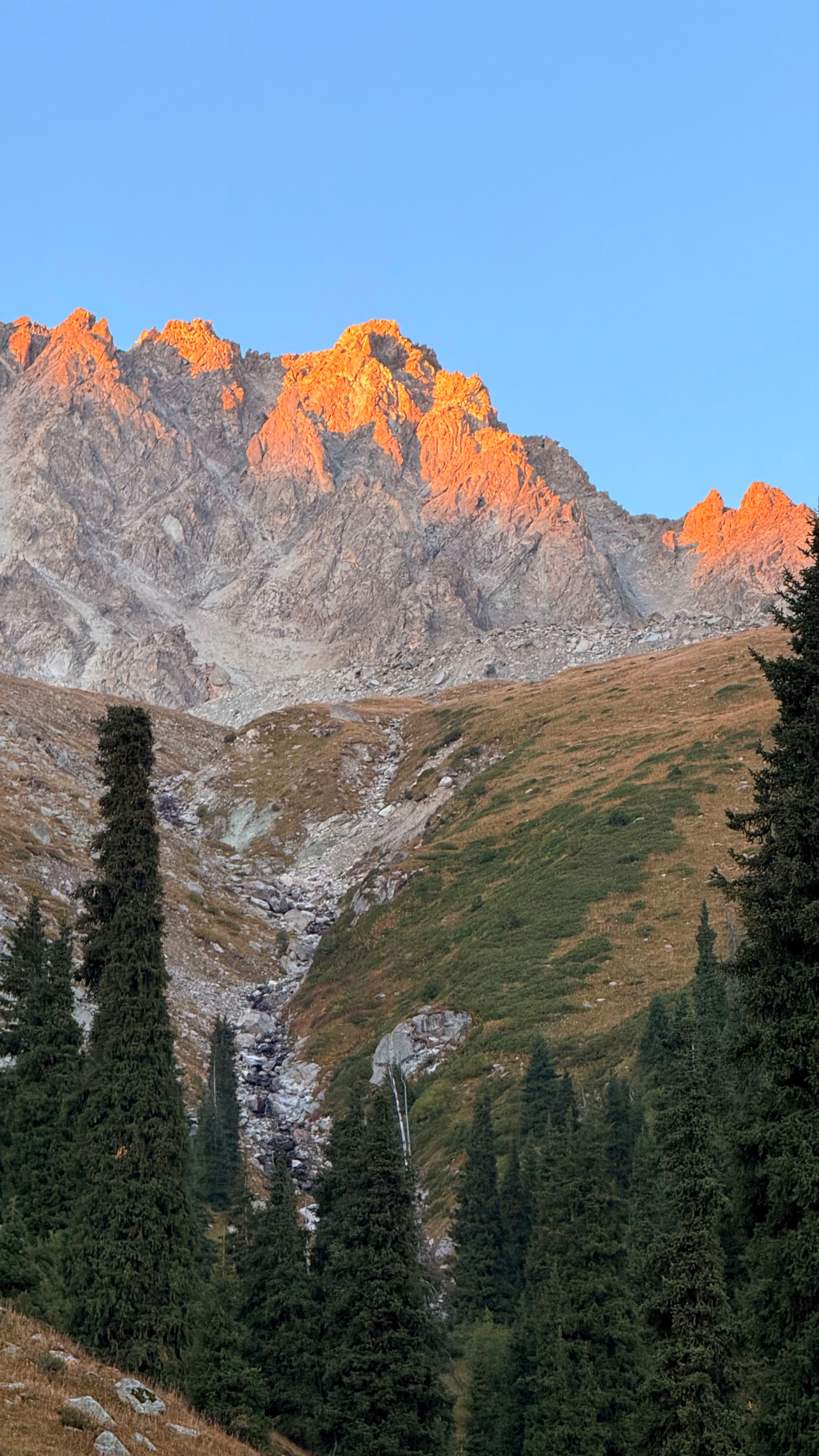
I was not so pleased with the dinner as with the shots that turned out. The rays of the setting sun create incredible miracles with light. And the action camera, capable of swimming in cold water, made the gorge shake from the battle cries.
You can see all the beauty of this trip in the video. And we pack up our things, because the sunset is already approaching, we take farewell photos and go home.
The result – the adventure turned out to be great. Aesthetic pleasure is received.
The difficulty is below average. If you already have experience of walking in the mountains, then be sure to visit this location.
Conclusion-doubts pass instantly, and regrets will remain for a long time. We hesitated to go there for a long time, but we absolutely did not regret it!
📷 Photos from a hike


🚁 Photos from a drone
Itinerary
Detailed itinerary will be provided upon booking. Our typical tour includes daily hikes through diverse terrains and cultural experiences.
Pricing
| Group Size | 1 person | 2 people | 3 people | 4 people | 5 people | 6 people Best value |
|---|---|---|---|---|---|---|
| Standard | $144 $144 total | $97 $194 total | $81 $243 total | $73 $292 total | $68 $340 total | $65 $390 total |
100% private tour — prices are per person based on group size. The more friends you bring, the less everyone pays!
What's Included
Included
Not Included
Our Guarantee
If weather forces a cancellation, you choose a free reschedule or a full refund. If you're not satisfied with your experience, we'll work with you to make it right. No questions, no hassle.
Private tours only (max 6) · Reschedule or full refund if weather cancels · No payment until confirmed
Traveler Stories
Sarah K.
Our guide was incredible - he adjusted the pace perfectly for our group and knew exactly where to stop for the best photos. The whole experience felt effortless, like everything was taken care of before we even thought to ask.
Marco T.
We were a group of 4 friends and the per-person price made it a no-brainer. Private 4x4, lunch included, and the canyon was breathtaking. Way better than the big bus tours we saw there.
Anna W.
Solo traveler here. I was nervous about hiking alone in a foreign country but the guide made me feel completely safe. The trail to Kok-Zhailau was beautiful and the photos he took of me were amazing. Only wish the hike was longer!
David R.
Third time booking with these guys. Butakovka, Big Almaty Lake, and now Titov Peak. Every single time the service is flawless. The fact that it's always private and max 6 people makes such a difference compared to other operators.
Share Your Experience


26+ hikers
completed this trail
Tour At A Glance
Book This Tour
Private tours run any day of the week — weekends fill up fastest, so book early
Pay securely after confirmation


Weather Forecast
moderate rain
H: 12°C
L: 7°C
Mon, Jul 27
clear sky
10°C
6° / 14°
Tue, Jul 28
clear sky
9°C
5° / 13°
Wed, Jul 29
clear sky
10°C
5° / 15°
Tour Location
Similar trails

Guided Hike to Kumbel Peak (3,200 m) via Gorelnik Gorge – Waterfalls, Hot Springs & Summit
From $65/person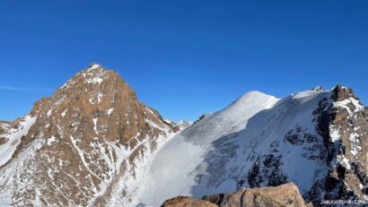
Guided Climb of Peak Uchitel (4,045 m) – The Easiest 2A in the Tuyuk-Su Cirque
From $145/person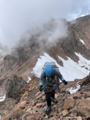
From $65
per person · weather refund
Complete Your Booking
Tour:
Date:
Participants
Add-ons
You're Almost There!
We'll contact you within 24 hours to confirm your spot and share everything you need to prepare for your adventure.
Request sent
We confirm your spot
within 24 hours
Summoning perfect weather
Hit the trail
On the channel
83 h
Drone flight hours
What we’ve filmed
59
Hikes filmed
704 km
Kilometers covered
44,439 m
Elevation gained
27
Countries visited
Plan your hike with us
A few quick questions and we will email you a tailored hike plan & quote.
When do you want to hike?
What's your experience?
How many of you?
Where do we send your plan?
Private guided hikes · no obligation.